Effective today, the NWS will begin issuing Severe T-storm Warnings using damage threat categories. What does this mean for you? You will now receive a Wireless Emergency Alert on your phone for any "destructive" severe storm. Destructive is defined by the criteria below. 👇
Running out of activities for kids?
Download our free activity book, Let’s Have Fun with Fire Safety, and teach children important fire safety messages while they color and solve puzzles.
https://t.co/h2JxtH9kgb
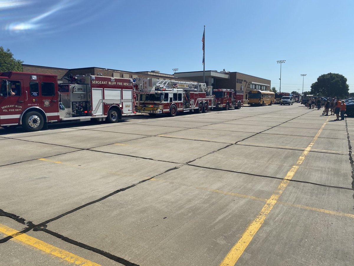
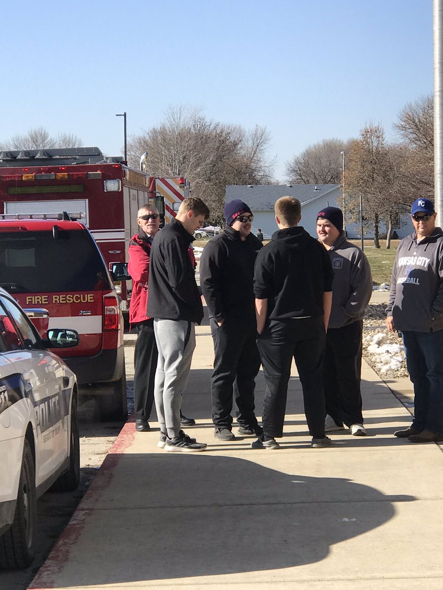
Sergeant Bluff Fire Rescue members wishing good luck to member @carsongaul while waiting to escort the SBL Football team out of town for their semi-final game at the UNI Dome
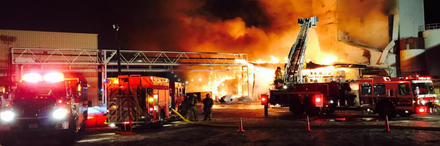
Today’s Quote of the Day comes from Lawrence Fire Chief Brian Moriarty: “He’s blocking our water, we needed water bad.”
The takeaway: this is why you should never park in front of a hydrant. #wcvb
Confidence continues to increase on an impactful midweek storm across the area. Details will change over the next couple of days, but many areas will receive heavy rainfall with potential for ponding/flooding. Significant wind/snow possible toward central SD Wed night/Thu.
Snow will increase across the area through the evening with heavier amounts over northwestern IA. With increasing winds, Blizzard conditions will develop from the I-29 corridor and eastward into Sunday. Do not travel if at all possible!