This is the Official Twitter for the North Sioux City Fire Department. We will post updates involving weather, public announcements, and certain call info.
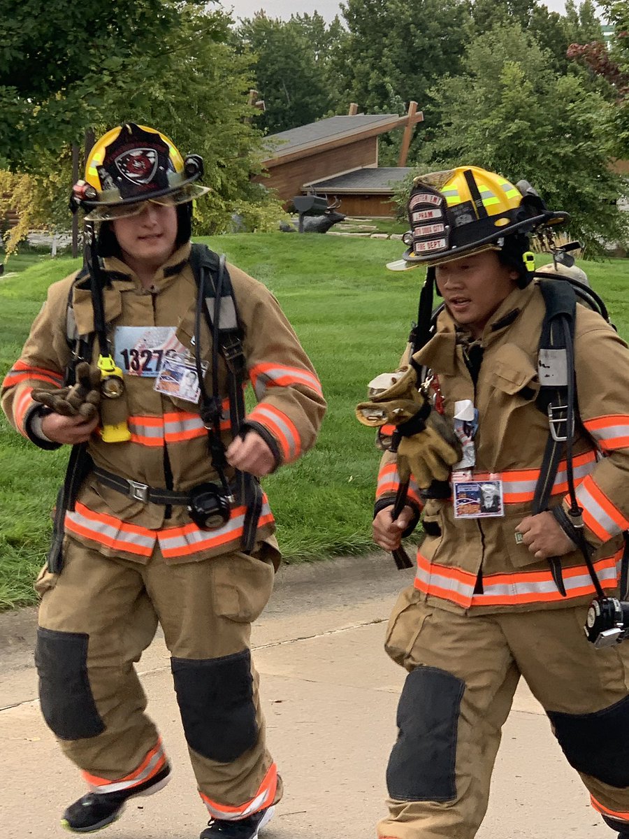
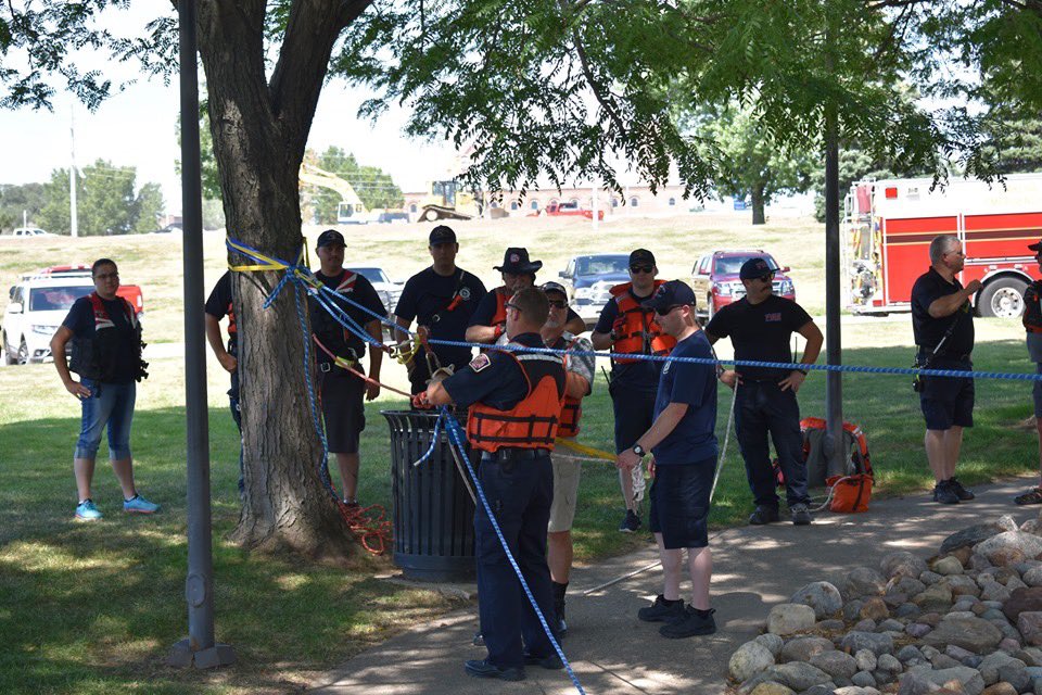
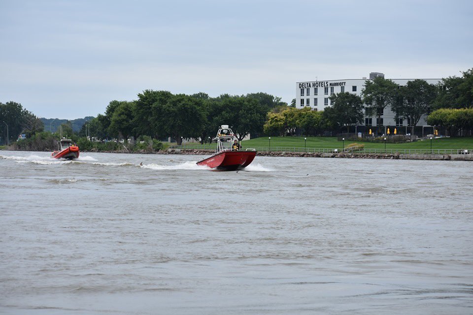
Great event the Stephen Siller @Tunnel2Towers run/walk at Chris Larsen Park. Thanks to all the volunteers who made this possible and all the participants. Pictured are area First Resonders. @SIOUX_CITY_FIRE@SiouxCityPolice @WoodburySheriff
Karen Baker hung-up her headset for the last time at the Woodbury County 911 Center. Karen served at Comm Center for 39 years as a dispatcher. Thanks for all your dedicated days, nights, weekends, and holidays. Thanks for being the hero behind the scenes. #SCFReady
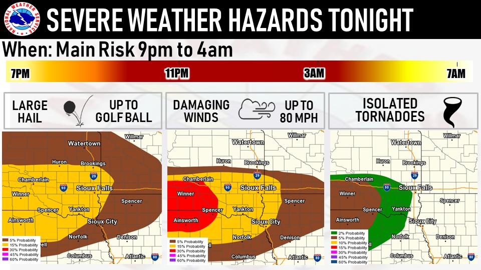
Folks in south central South Dakota, we hate to say it, but your area has the greater risk of damaging winds and possible tornadoes later this evening. Here's a breakdown of the various severe weather hazards through tonight.
Stay weather aware!
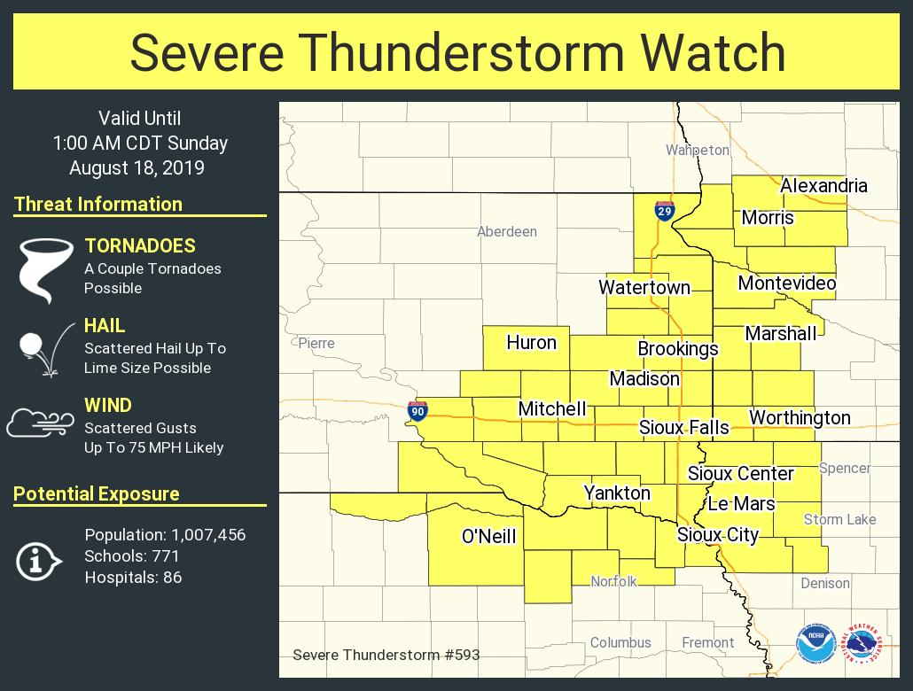
Strong thunderstorms will likely begin to develop over the next 1-2 hours.
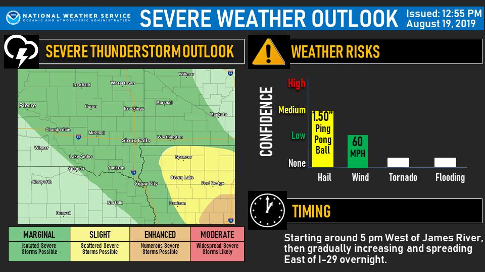
Here's a bit of a technical weather discussion on the risks ahead for the night.
Have outdoor plans this evening or overnight? Beware that there is a slight to enhanced risk of severe thunderstorms, especially in Iowa. Primary risk will be large hail, with a secondary risk of damaging wind.
If you're just waking up, you may not be aware that ⚠️ 𝙩𝙧𝙖𝙫𝙚𝙡 𝙞𝙨 𝙣𝙤𝙩 𝙖𝙙𝙫𝙞𝙨𝙚𝙙⚠️ in MANY areas around the region as of 6 am!
If you have the opportunity, today is one of those days where staying put wherever you are may be the safest option.
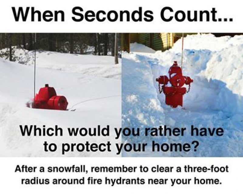
Want to help us be #SCFReady? While you're digging yourself out today, don't forget about your fire hydrant! When seconds count, the last thing we want to worry about is finding a hydrant. #suxweather#Whichwouldyouratherhave
If you responded to the calls we respond to, You'd Buckle Up.
If you saw what we see, You'd Buckle Up.
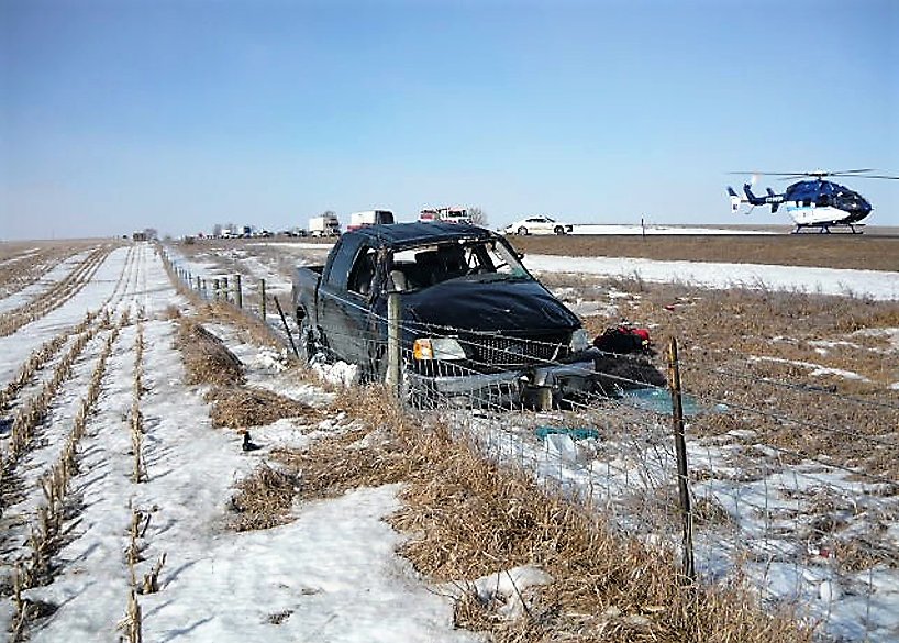
3 out of 4 occupants in this vehicle were ejected this morning on I 90 W. of Sioux Falls. None of them were wearing their seatbelts. #BuckleUp