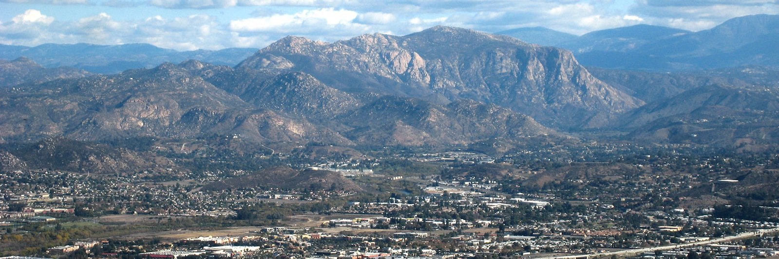
As part of the Alpine Community Defense Project, we have a contractor applying herbicide along fuel breaks targeting shrubs to slow re-growth in those areas. Locations: Anderson Truck Trail, Star Valley Rd., and Viejas Creek. Please avoid those areas through Friday. …
#RT@NWSSanDiego: RT @CALFIRERRU: #RamonaFIRE [Morning Update 05/23 7:00 AM]:
The fire is 348 acres and 35% contained. Firefighters will remain on-scene throughout the day working on continued containment and control. Please continue to use caution in the fire area as appa…
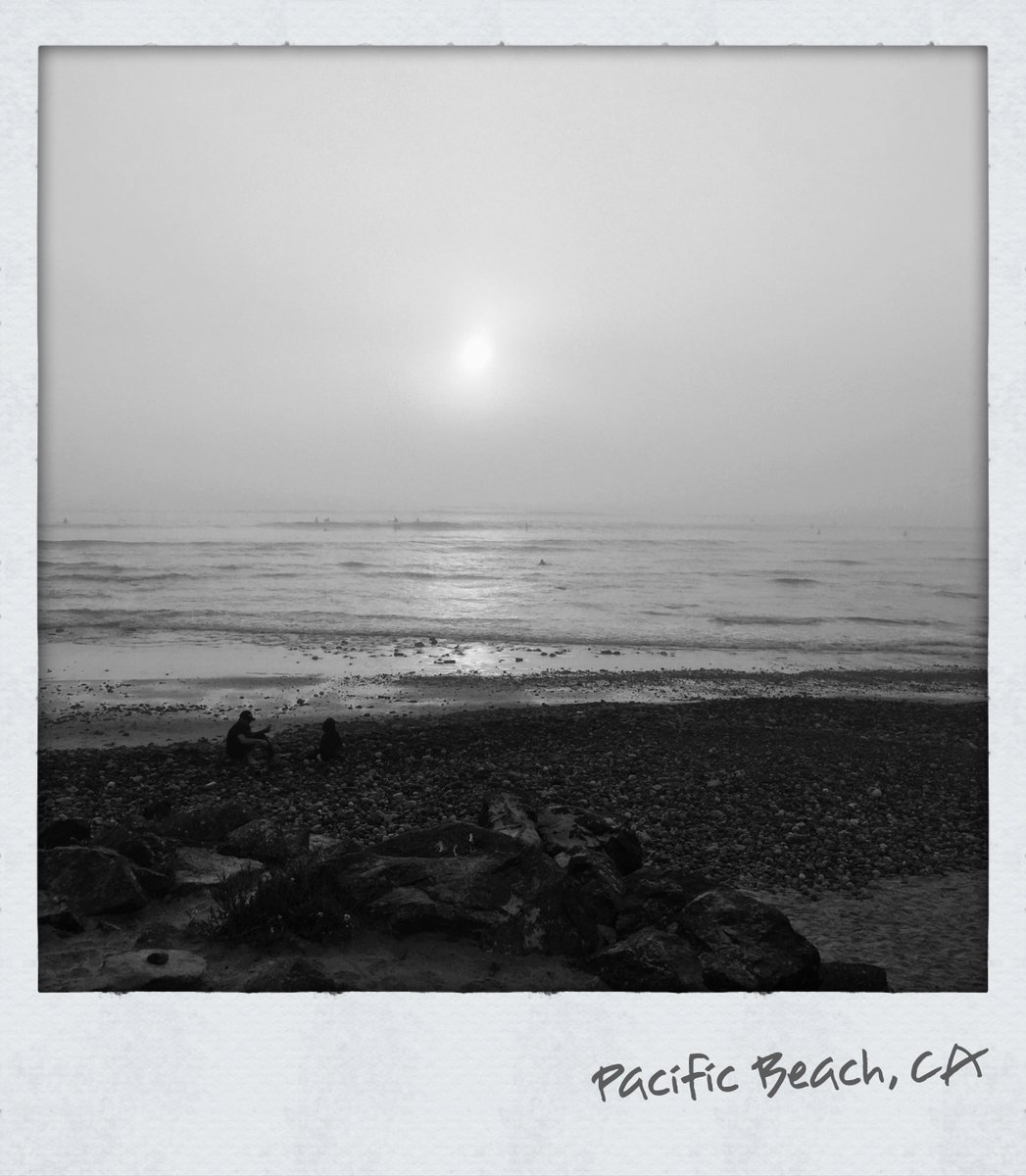
#RT@NWSSanDiego: Depending on your location, sunrises this week will look like one of these photos. If you are above the deep marine layer (1), or in the deep marine layer (2).
Here's a link to the Area Forecast Discussion:
https://t.co/wM17Ct8sku
…
#RT@NWSSanDiego: RT @CALFIRERRU: #RamonaFIRE [FINAL EVENING UPDATE]: The fire remains 328 acres and 20% contained. This will be the final update of the evening unless significant activity occurs on the fire overnight. Again, all evacuation orders and warnings are lifted.
#RT@NWSSanDiego: @RLMSD999 We are in the thick of a pattern that favors persistent low clouds for the coast and valleys. Check this out for a thorough explanation!: https://t.co/60oVWgWOfw
For all of you wondering why the low clouds have been so prevalent the past few days (weeks... months???) at the coast, check out this infographic on the marine layer! Time for a little weather education on this Sunday morning. A 🧵 (1/6)
#RT@NWSSanDiego: The 5 PM satellite image showed marine layer clouds surging inland (again), and dissipating storms over the mountains and deserts. Tuesday will be a lot like Monday near the coast with more clouds and cool weather. The mountains and des…
#RT@NWSSanDiego: RT @CALFIRERRU: #RamonaFire [UPDATE]: Fire is 150 acres, 0% contained. Warren Rd. between Esplanade Ave. and Ramona Expressway is closed. Evacuation ORDER and WARNING areas remain the same. Please see our interactive map: https://t.co/IyXDiYe2Z9
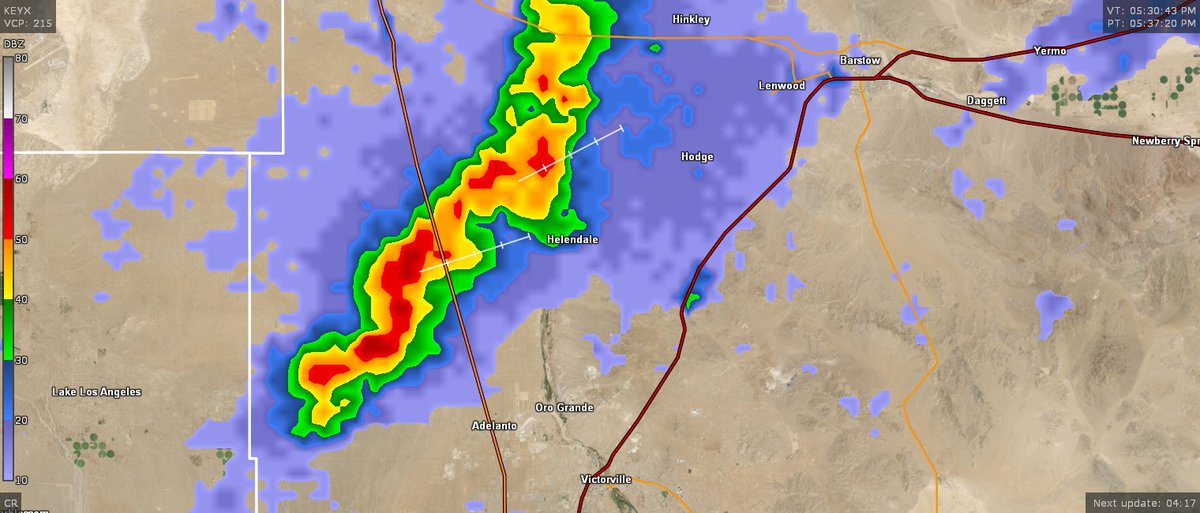
#RT@NWSSanDiego: 537 PM radar update: A line of storms west of Barstow was bringing heavy rain to the Helendale area, and on sections of Highway 395. A Flood Advisory is in effect for this area through 6 PM.
#cawx
#RT@NWSSanDiego: 5 PM radar showed a strong storm west of Barstow, near Helendale. A Flood Advisory is in effect for this area through 6 PM. Flooding is possible on Highway 395. #cawx
#RT@NWSSanDiego: RT @CALFIRERRU: #RamonaFIRE [UPDATE]:
EVACTUATION ORDERS ARE IN PLACE FOR THE FOLLOWING AREAS: South of Upperline Ave., West of Warren Rd., North of Cottonwood Ave., East of Beech Street.
EVACUATION WARNINGS ARE IN PLACE FOR THE FOLLO… https://t.co/oaCg7rmqq6
#RT@NWSSanDiego: RT @CALFIRERRU: VEGETATION FIRE west of San Jacinto - rpt @ 2:11p.m. Ramona Expressway near Warren Road. Firefighters on-scene 10 acres of vegetation burning, moderate rate of spread. Aircraft and additional engines requested and en-rou…
#RT@NWSSanDiego: Is grey your favorite color???
1. Why
2. You'll be real happy this week, and you'll see why in the Weekly Weather Briefing linked below! #CAwx#MayGrey
https://t.co/J07J0XqKjP
#RT@NWSSanDiego: @BecaTesla Referring just to this temporary and very early monsoon-like pattern. The conventional monsoon later this summer will still occur, barring some bizarre and unforeseen circumstances.
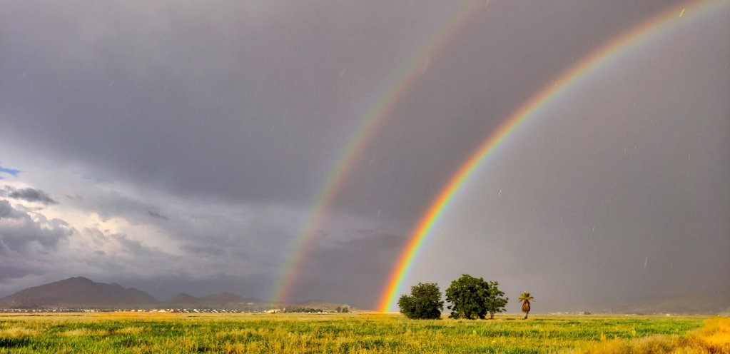
#RT@NWSSanDiego: The High Deserts and mountain communities in San Bernardino/Riverside Counties will have another 20-30% chance of seeing thunderstorms today as the pseudo-monsoon pattern comes to an end. Here's a rough idea of timing for this afternoon…
#RT@NWSSanDiego: Heads up Monday morning commuters! Be aware of fog that will reduce visibility below 2 miles at times along your route, especially in the Inland Empire. Foggy conditions are being observed in the San Bernardino mtns as well, with vis un…
#RT@NWSSanDiego: 6PM | Here's an updated look at how much rain some of our area has seen. Some storms have dropped over an inch in parts of the high desert! https://t.co/kUBli3lADa #CAwx
#RT@NWSSanDiego: 4 PM radar showing strong storms and heavy downpours in the high desert west of Victorville and Adelanto. Flooding on sections Highway 395 is likely. A Flood Advisory is in effect for this area through 6 PM today. #cawx