SSF is now going into winter break while we re-evaluate next steps. see you all in January/February, have a good Christmas and new year, and thanks for the 2023 season. ❤️🩵
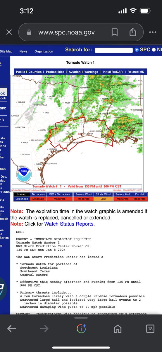
Incase you guys haven’t found out already, there is a high probability of strong to severe storms today. There is already a tornado watch for portions of Southeast Texas and Southwestern Louisiana. For further information, keep up with your local NWS office or other WX Accounts.
cross posting from facebook because i’m lazy.
pre-warning ahead of monday and tuesday, i will be doing my best to cover the tornado warnings issued over the next few days, but id like to have a quick moment to remind everyone of the importance of having preparations in place over monday/tuesday.
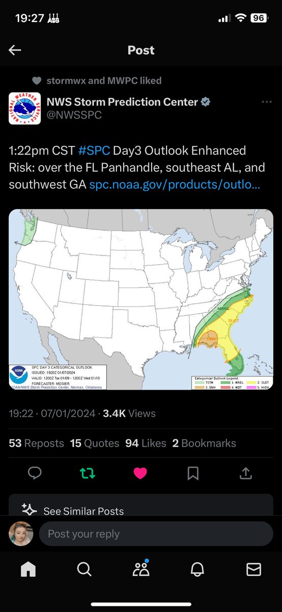
tuesdays outlook has just been upgraded to an enhanced, and mondays is still enhanced at the moment, but the wording of the SPC for Monday specifically indicates that it is going to be a definite tornado day. (i.e the use of the phrase “strong QLCS tornadoes”)
with this in mind, i want to remind everyone to charge those weather radios, make sure your safe spaces are prepared, and you have multiple ways of receiving warnings over the next few days. i shall do my best to relay warnings as much as possible over here and on twitter, so people do get to see them in a variety of places.
merry christmas from everyone at SSF 💜 (if you celebrate!)
have a happy holidays.
(picture from - @kizzyraeWx) ((it isn’t snowing in the uk but i’m allowed to dream that it is like it was back in 2021))
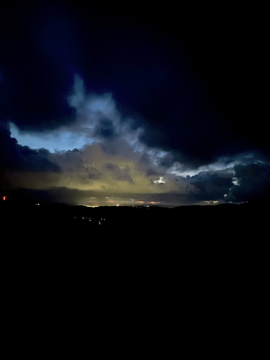
#tornado#watch issued for the UK, starting in 3 hours.
(finally i can do my job on home soil)
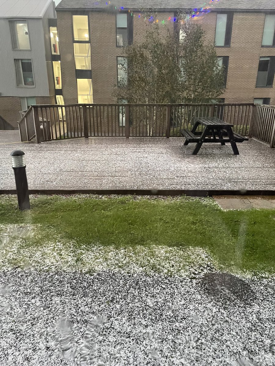
strong winds and hail associated with this weather system, and the possibility for one or two tornadoes.
littlehampton tornado in the UK (west sussex) has been preliminary rated a T4, (TORRO arrived on scene to survey the 29th october, day after the tornado)
for the americans that’s the equivalent of a low F2.
in other UK tornado news, a TORRO confirmed tornado has taken place in Jersey last night/early this morning (currently not been surveyed) , the UK’s Sea Low Pressure record has been broken, and is now 953.3 hpa (mb) in Plymouth as a result of Storm Ciaran, this isn’t the lowest ever recorded (scotland still holds that record).
also other possible tornadoes have occurred as a result of Storm Ciaran. will try and update where possible but due to UK radars not being in the public domain (at least not to the same calibre of the likes of radarscope/radar omega) it becomes a challenge to keep track of these sort of events in the UK.
Red Weather Warning for Eastern Scotland - from 18:00 BST to 12pm BST Friday morning.
People in Angus and south Aberdeenshire, as well as parts of Dundee and Perth and Kinross, have been urged to stay at home.
The storm is expected to bring extreme rain, wind and flooding that could be a threat to life.
Residents of more than 400 properties in the Brechin area have already been told to evacuate.
Added context- afore mentioned post was not intended to be misleading, it was more a statement about us and our current work within the team! apologies for any confusion 🩵
I think more context should be added onto this, because to some it could be misleading as to which partnership SSF has acquired with NOAA.
Looking more into it, SSF is apart of the NOAA WRN (Weather Ready Nation) program, which anyone can apply to.
I actually recommend a lot of groups/businesses look into this as its a great opportunity to educate about weather and better prepare a weather ready nation.
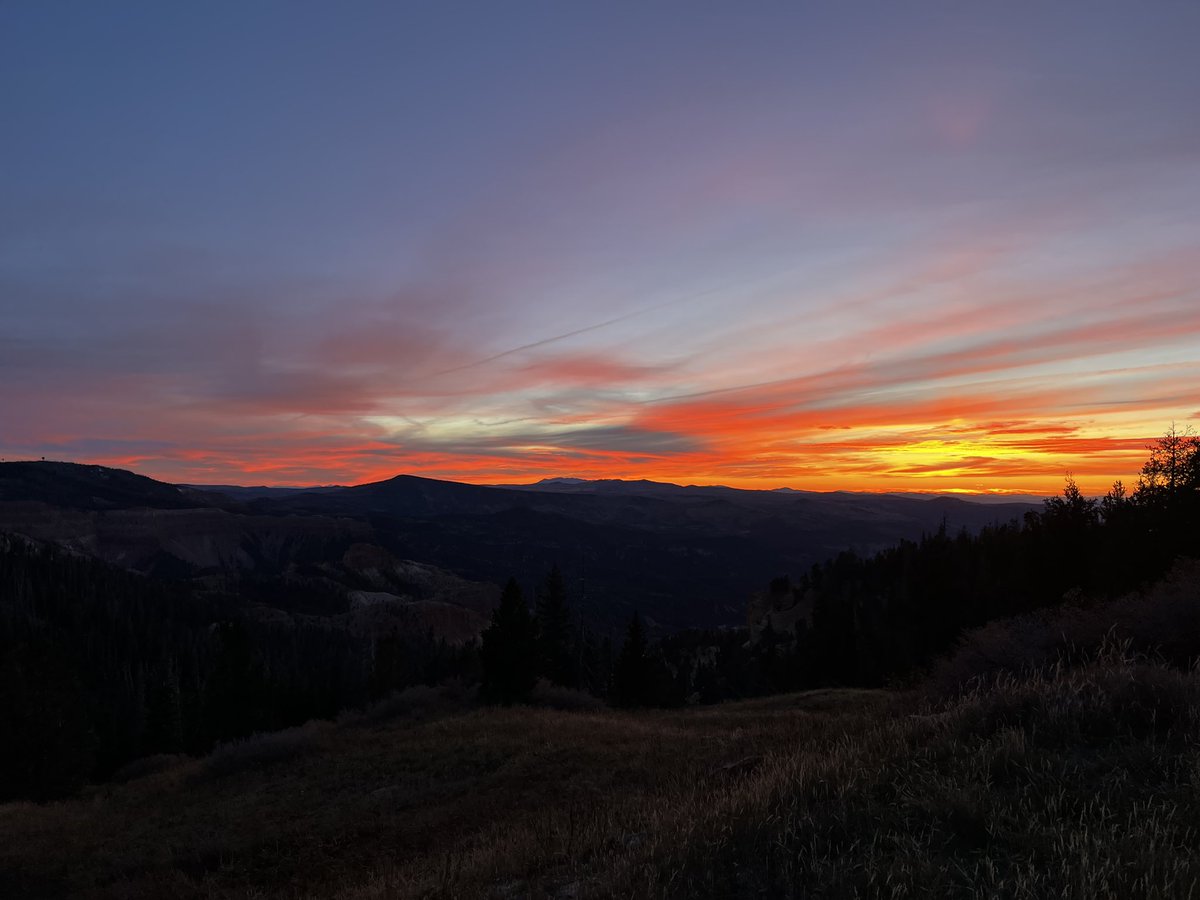
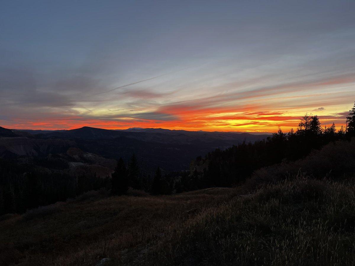
Amazing sunset viewed from 10,500 feet currently happening at Cedar Breaks Monument in Utah!! (If you see the video you can actually see the KICX radar!) @NWSSaltLakeCity@spann@SSF_Wx#utwx