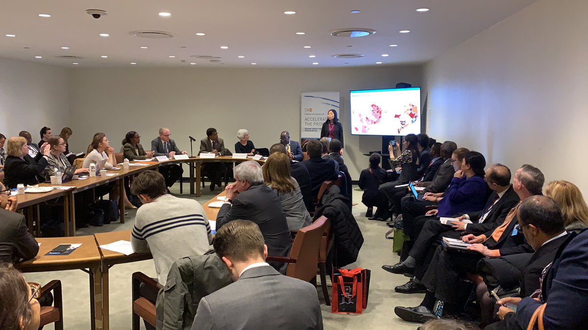
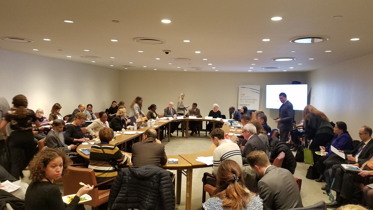
Francesca Grum, Assistant Director, Demographic and Social Statistics, UNDESA, shared the UN recommendations for the 2030 census round, including integrating geospatial information with census to enhance data analysis and utilization @UNDataForum
UPDATE: #UNDataForum platforms 📢
🗓️ 24-27 April 2023
To watch LIVE, registration is required on OEP🇨🇳
👉 https://t.co/Y8sEDxiflp
To watch REPLAYS the day after & engage w/🌎 data & statistics community, use code unwdfapril2023 to register on Whova.
https://t.co/Xkbfnj50e1
We are hiring two consultants for Small Area Estimation:
(1) Methodology Development https://t.co/AR3Vceda11; and (2) Tool Development https://t.co/TtMhGtanzw. Deadline: April 17
.@SainanZhang of @UNFPA & GRID3 explains #GRID3solution 'modelled population estimates for #census under-coverage': "There are places where census #data cannot be collected...GRID3 estimates population using satellite imagery, survey data & other added geospatial data."
The White Paper on the Geospatial Response to COVID-19 and Strengthening National Geospatial Information Management is ready! https://t.co/0TU2cTPzR5 @cepal_onu@UNGGIM
See how the world’s most polluted air compares with your city’s in this visualization of the microscopic particles that endanger human health https://t.co/loPkCqu8Bp
Interesting visualization by @toddrjones. It would be interesting to see the dots in different colors, based on income groups (high/middle and low-income countries)
The Expert Group on the Integration of Statistical and Geospatial Information. Our final meeting before the Global Statistical Geospatial Framework gets put to @UNGGIM for consideration and (hopeful!) adoption!
Silicon Valley is falling short on climate change-The world’s most inventive place has done little to solve the world’s biggest problem https://t.co/6DM3hMxwau
US Census is presenting the historical progress on the incorporation of #GIS in #census collection. For the 2020 Census, ~350,000 census takers are equipped with mobile devices collecting data from the field: boundary, roads, and population. @Esri@EsriUC@PopDevUNFPA
#ArcGIS new tools enhanced feature analysis, real-time analytics and collaboration with AI, ML and Deep Leaning to guide decision makers, city planners... with intelligent information. @Esri#EsriUC
#ArcGIS#GIS uses locations to integrate heterogeneous information and data together and create a common language. It is a very powerful thing. #ESRIUC2019
A new step in #data4dev with #GRID3 approach! This week, #data experts from Government and partners have come together in Zambia for capacity building workshops to support improved collection, analysis and use of #geospatial data for development. @PopDevUNFPA@flowminder@ciesin