Next week we may all want to move to Canada! A large and in-charge heat dome will smother the eastern half of the US. Feels like temps will peak between 100-115 degrees across a huge expanse of area. Both the size and longevity of the event will be impressive - 1/2 the nation and a full week of summer swelter! But - if we are being honest - the intensity of the #heatwave will not be historic - it will not be an unprecedented event. Still record highs temps in the 95-103 range will be widespread. But for a change #Florida will be cooler than most of the nation!
Paris, the capital of France, has recorded more days above 40°C this week than during the 147-year period spanning from 1872 to 2019.
Historic is an understatement.
NOAA is now highlighting a large region of "Extremely Critical" fire weather conditions Fri near the heart of the severe-to-extreme drought region across interior West, w/expansion into Sat-Sun likely. While existing fires have quieted down today, that lull will be short-lived.
🔥 Decoding Fire Talk
Fire departments work to communicate in plain language. During wildfire updates, you may still hear specialized terms used by firefighters, aircraft crews and partner agencies to communicate quickly and accurately.
What does “head of the fire” mean? What’s a “flank”? And does “forward progress stopped” mean the fire is out?
Here’s a quick guide to some of the most common wildfire terms you may hear during an incident.
#ReadyForWildfire #WildlandFire
Wait. For. It. NASA animation shows Global temperatures warm slowly at first, then rapidly. Warming is accelerating! Here’s the truth. It’s real. It’s us. And we have to come to terms with it, and deal with reality, rather than deceiving ourselves, and hoping it goes away. It won’t… without intervention. #climate #globalwarming #science #climatechange
Sea level data shows signs that an El Niño will likely emerge later this year. The Sentinel-6 Michael Freilich satellite, which measures the height of the entire ocean every 10 days, has detected higher, warmer water moving east across the Pacific Ocean. https://t.co/q8CcAcBjAR
What's at the end of the rainbow? Apparently it's Mt. Shasta 🌈 🏔️ Great capture shared by one of our followers on FB. Thanks for tagging us, Meteorologist Matt Jordan!
#SandyFire in Ventura County as of 5:30 p.m. on Monday 5/18 from the Oat Mtn South 2 ALERTCalifornia camera. Look to @VCFD_PIO for updates and evacuation information. See conditions live on multiple cameras at: https://t.co/xZNcsianLN
The atmosphere is a fluid. 🌊☁️
Check out this time-lapse of coastal stratus pushing inland. Watch it pool against the mts before spilling over gaps like a slow-motion waterfall.
It's a high-density fluid seeking the path of least resistance.
#CAwx@ALERTCalifornia#MtTam
Triple-digit heat is likely for parts of California and the Southwest late this weekend into next week, with highs potentially reaching 110 degrees F in the Desert Southwest, and 100 to 105 degrees F in southern sections of the Central Valley of CA.
The National Weather Service in Hanford today confirmed there was a 4th tornado on Tuesday in Terra Bella, in Tulare County. Four in one day ties the record for the NWS Hanford area.
https://t.co/bgnUUt8xsr
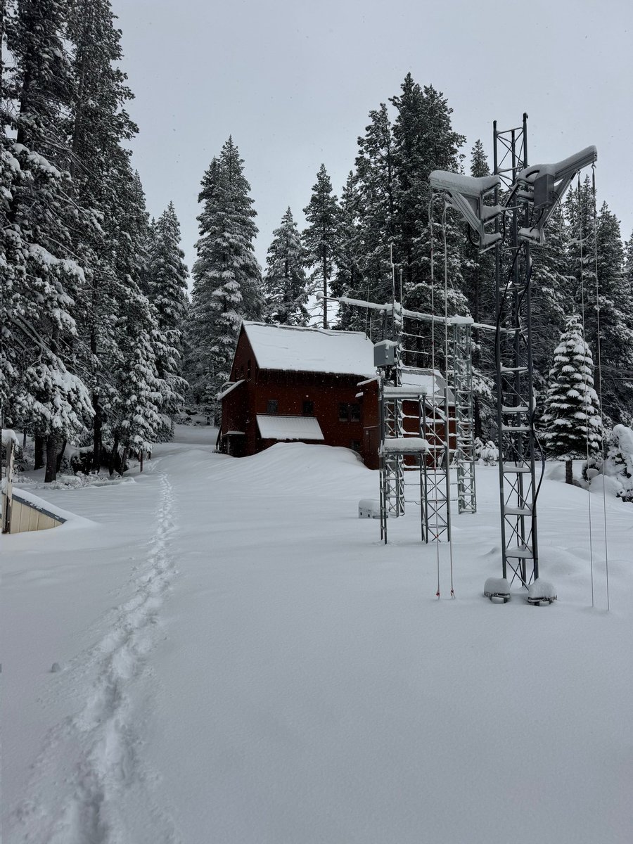
4/22/26 10:30am Update:
🌎 HAPPY EARTH DAY! 🌏
We have 8.3" (21 cm) of new #snow this morning and 11.8" (30 cm) total from this storm. We're expecting another 1-2" today.
Our next chance at some snow is this weekend.
#weather#CAwater