VIDEO - A #Tornado touched down around 3:55pm and lasted around 15 minutes south of Sterling City, #Texas! Footage from our chaser Adam Lucio. Luckily population is zero out there! April 19, 2025
#txwx#twister#tornadochaser#storm
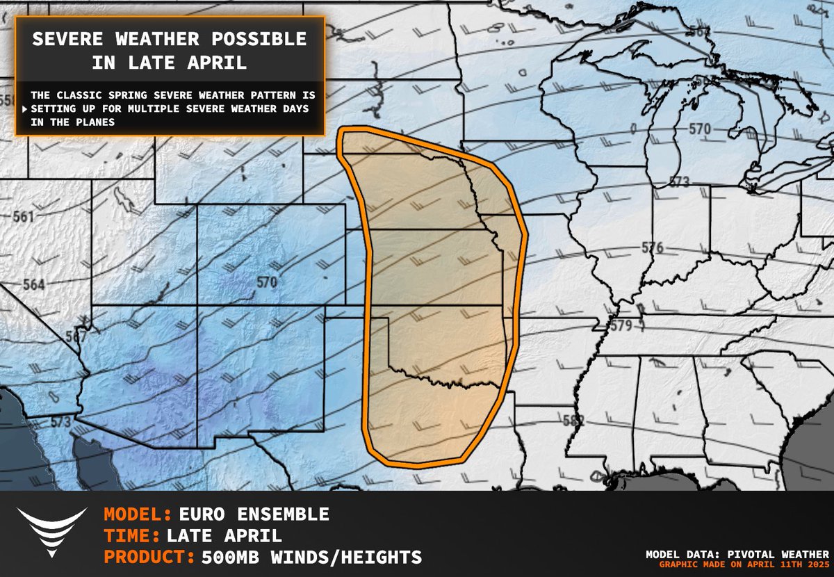
SEVERE WEATHER & TORNADO POTENTIAL UPTICK COMING LATE APRIL IN THE GREAT PLAINS!
A major pattern shift is expected as early as April 18-20 across the central and southern parts of Tornado Alley, as a large trough is forecast to evolve across the Mountain West. This will excite a classic strong low-level jet across the Plains, which will pump moisture northward and provide low-level shear necessary for tornadoes.
We are gearing up our science mission for peak season ahead.
With El Niño conditions emerging in the eastern Tropical Pacific, the Great Plains severe weather season could be amplified and extended. Stay tuned!
@PettusWX
HERE COMES PEAK SZN!
Tornado Alley is about to come alive the second half of April, with the CFS forecast accumulated supercell parameter showing an uptick in severe weather during the week of April 18-24.
These forecast products are from the NIU team of @gensiniwx.
Our rocket and FPV drone mission will be ready to pepper these tornadoes with sensors.
@BGatesIsaPyscho OMG. It’s some sort of secret code…and she’s not using Signal🤣. On a serious note. Performers have mechanical things they do to relieve stress when in performance mode. When I’ve just finished an improvised solo, I take a breath and slowly breathe out as if blowing out a candle
YIKES! A large strong #tornado in Western #Mississippi near the town of Sidon about half an hour ago. From our chaser Adam Lucio. He abandoned the storm after getting cut off by the damage path. #mswx
Looking at the setup today across portions of Alabama and Mississippi is well, yikes. Idk how else to describe it.
The SPC is explicitly forecasting multiple EF-3 to EF-4+ tornadoes. With an emphasis on that **+** sign which means the conditions today will support EF-5’s. Which I pray to the good lord above that doesn’t happen.
If you know anyone from Atlanta to New Orleans and especially anyone from Birmingham to Jackson, give em a call. Let em know today isnt a day to mess around with weather wise.
It might help save their life.
Tomorrow in SC will depend on how today evolves. More on that later when I can give you some actual details on how things will shape up.
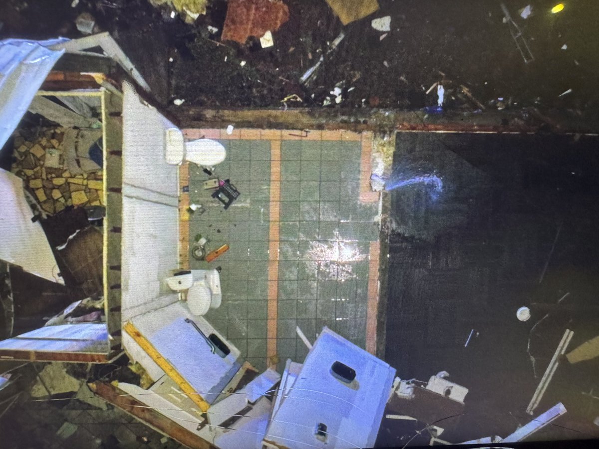
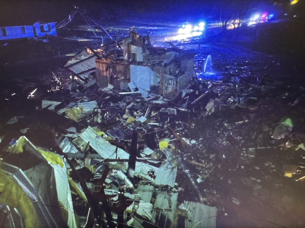
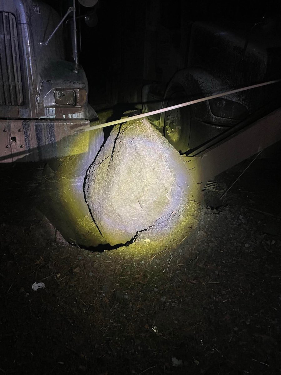
Photos from Oil Trough in Independence county… that first photo was a steel I-beam anchored by 3 feet of concrete…
Horrible damage.
Photos from Levi Mcdougal
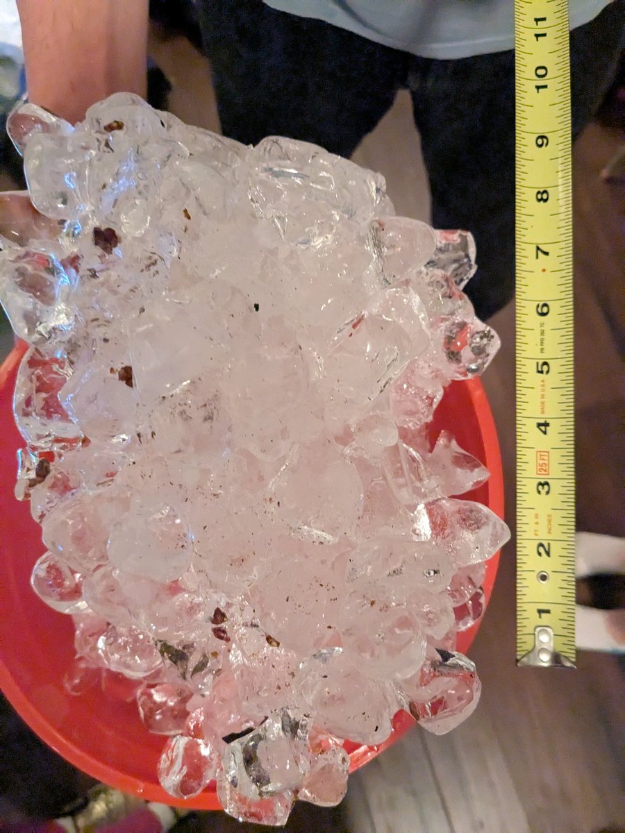
Y'all, this is not a poured-out bag of ice, this fell from the sky *just like this* three feet from my car windshield 💀 #stlwx@scottontvKSDK@SteveTempleton