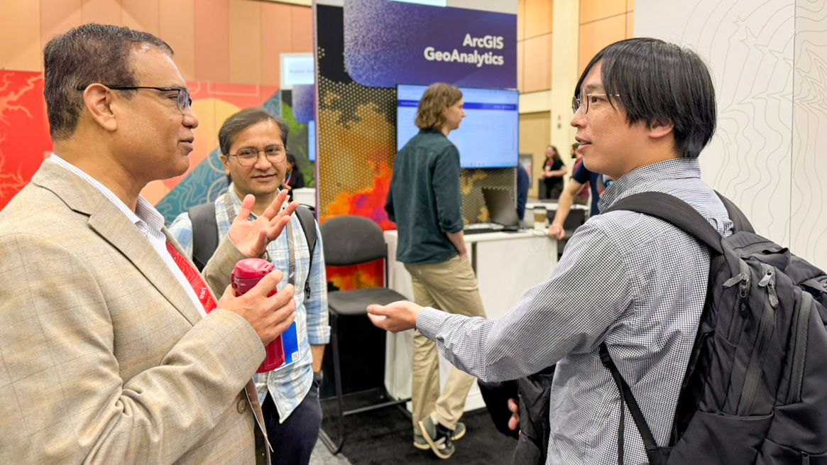
Researchers from #NIED participated in Esri Developer & Technology Summit and exchanged views with #Esri experts on the latest #GIS technologies 🌎✨
#EsriDevTech2026
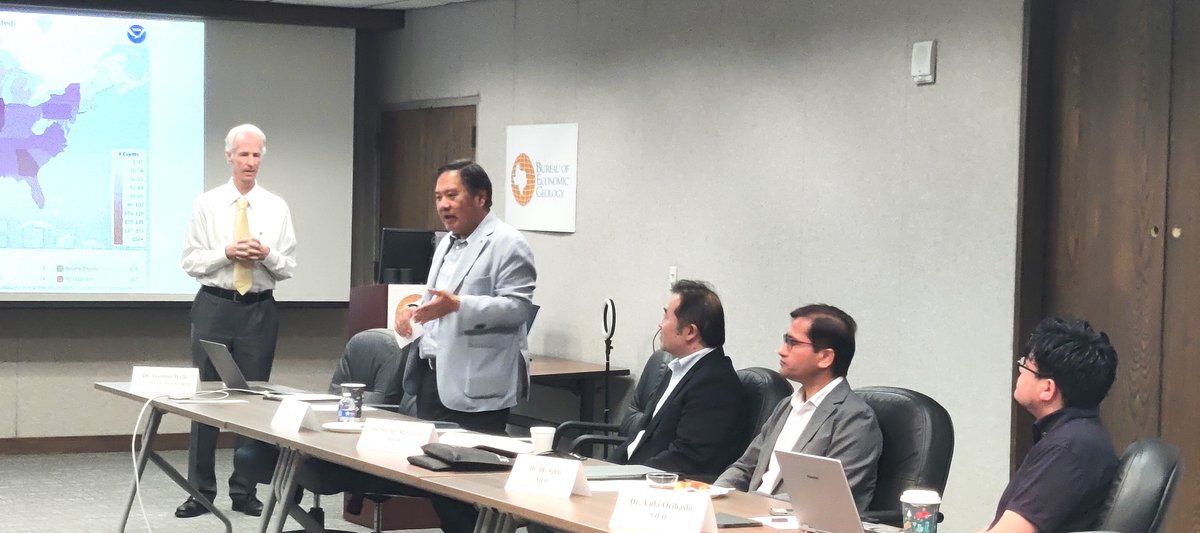
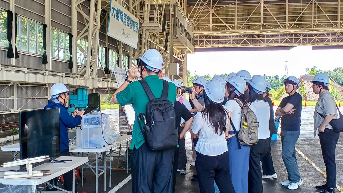
On July 18, #NIED welcomed delegations from Korea University, Incheon National University, and Korea National University of Transportation. They explored our advanced research in disaster response to extreme weather events, #hydrometeorology, and #floodforecasting. 🌪️☔️🌀
#DRR
@cmprachanda धन्यबाद हजुर! हो थामे तिर पूर्वाधारहरुमा निकै असर परेको छ। हामीले बनाएका र बनाउन लागेका hydropower को के हालत होला येस्ता खालका घटना भयो भने ! सजिलै बुज्ने गरि हाम्रो एउटा लेख सन् २०२१ मै प्रकासित भएको छ हेर्नुहुन अनुरोध गर्दछु @kpsharmaoli@BishnuRimal
https://t.co/ySwEvPUWhC
On 17 July, #NIED held a series of discussions with @UTAustin, including research collaboration under the upcoming Memorandum of Cooperation to pursue multi-sectoral research and utilization of high-performance computing for disaster modeling and simulation. #disastermodeling
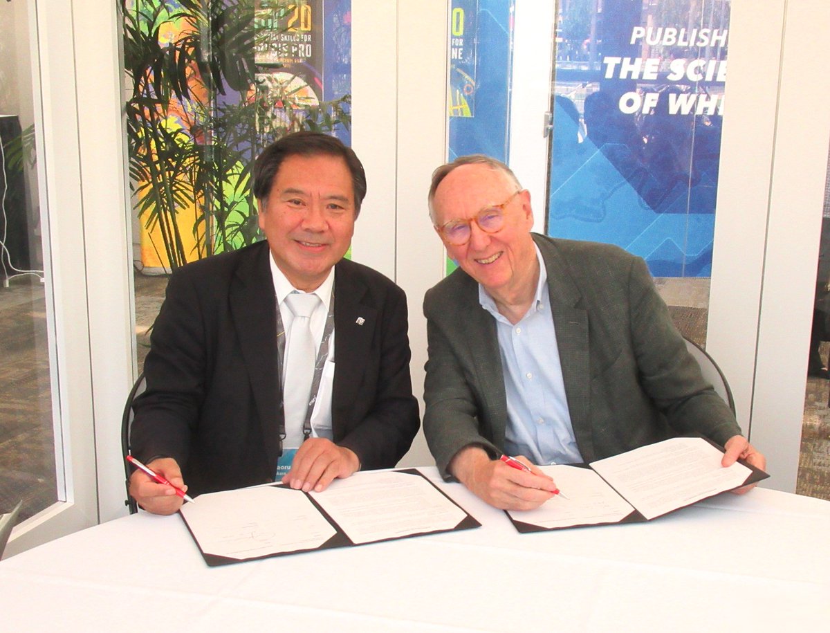
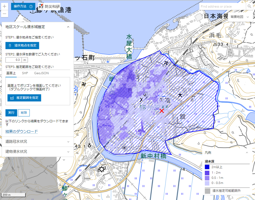
On 16 July, NIED President, Dr. Kaoru TAKARA, had a meeting with Esri President, Mr. Jack Dangermond to renew the Memorandum of Cooperation between the two organizations. #NIED has been using @Esri software to create disaster information products and sharing them with the public.
I am very pleased to share my interview and opinion with JST on the topic of 'Contributing to water-disaster resilient societies through the innovative use of radar.' I would like to extend my gratitude to the JST team for this memorable interview.
https://t.co/Db7tRxz8JC
@Dhrubakhadka99 चल्यो त सर। PNG लाई हिंजो हराए क्यारे। आशिफ भाई ले व्याट चलाए राम्रो सँग । अब युएई सँग अनि एक दुई जनाले राम्रो सँग ब्याट चलाए भने फेरि पनि जिती हाल्छन् ।
Sentinel-1 global (& ALOS-2 in Japan) layover-shadow maps can now be easily displayed on Google Earth Pro!
KMZ files:
https://t.co/bHMxCsOL2s
https://t.co/Dl1fW1Xgqk
For more information:
https://t.co/c5RAMjmHHA