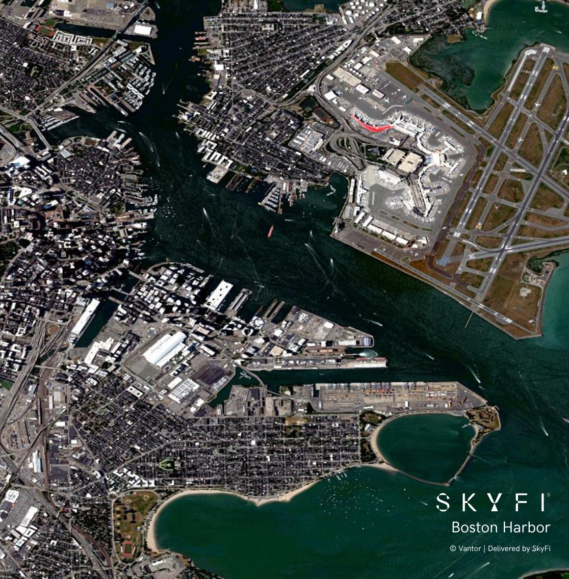
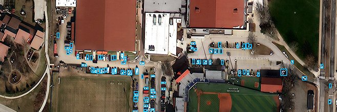
Satellite imagery as a layer directly in @Esri ArcGIS. That's WMTS Streaming with SkyFi. No downloads, no switching systems or re-uploading.
Just one connection URL in @ArcGISPro, @ArcGISOnline, or @ArcGISXprise , and you've got earth intelligence as a live map layer.
Get started now 👉 https://t.co/tmuX9bs43e
Announcing: SkyFi for ArcGIS.
GIS teams can now bring on-demand satellite imagery into Esri ArcGIS workflows!
🛰️ ArcGIS Widget: A native widget for @arcgis Enterprise organizations that embeds archive search, satellite tasking, and ordering directly in @Esri Experience Builder applications.
🗺️ WMTS Streaming: Add one connection URL in ArcGIS Pro, Online, and Enterprise and stream delivered imagery as a live map layer. No downloads, no re-uploading, no switching systems.
More features on the way!
Get started 👉 https://t.co/AID6zwTgmP
SkyFi is heading to Esri UC! 🌎
We can't wait to connect with the geospatial community in San Diego next week. Here's where to find us:
📍 Booth S4, Startup Zone
Stop by to see how we're making satellite imagery accessible to everyone, from archive search to new tasking, right inside your GIS workflow.
🌆 SkyFi-sponsored event: Energy Resources & Mining Social
Tuesday, July 14 | 6:00–9:00 PM | Coronado Terrace at the Marriott
See you in San Diego!
One nation, from sea to shining sea.
The founders believed a country could belong to its people. We think the view should too.
Happy 250th birthday America. Here's to the next 250 🇺🇸
#America250#July4th
Singapore through SkyFi 🛰️
From a regional view down to Changi airport, Sentosa, the Port, Marina Bay, and the CBD, imagery from @vantortech , @planet , @umbraspace , and @Satellogic
Different use cases call for different imagery sources. SkyFi brings them together so you can search, compare, and buy in one place.
https://t.co/PJr4waApOT
Your team grew. Now your SkyFi account can too. 🛰️
SkyFi Enterprise: one parent org, independent sub-teams underneath. Each with its own:
🔐 Role-based access
🧱 Fully isolated data
💳 Separate budgets & limits
Same virtual constellation. Pay-as-you-go. No contracts.
See how it works: https://t.co/0eTFlgl93S
One of the largest AI infrastructure builds is rising, and its progress can be followed from above. SkyFi's multi-provider network combined satellite imagery from Vantor, Planet, and Satellogic with Vexcel aerial as fine as 7.5 cm to track the Stargate campus in Abilene as it grew from open ground into a large-scale complex.
See the world in a new dimension.
@vantortech Vivid Terrain brings high-resolution 3D terrain, elevation, and analytics products to SkyFi.
Move beyond flat maps with surface models, point clouds, true ortho imagery, elevation models, building data, vegetation insights, and land use classifications.
Automatic Ordering for Watch AOIs is now live on SkyFi Pro.
Save your area of interest, set imagery filters and budget, and SkyFi will automatically order and deliver new coverage as it enters the archive.
No more checking back for new imagery.
WMTS Streaming is now live on SkyFi 🌎
SkyFi users can now stream high-resolution satellite imagery directly into ArcGIS and QGIS as live map layers.
Available now for Pro and Enterprise customers: https://t.co/5vtKpbKXJo
We’re hiring across three exciting roles at SkyFi:
🔸 Customer Success Associate
🔸 Product Designer
🔸Capture & Proposal Manager
Explore open roles and apply: https://t.co/XoNn8VSTHB
SkyFi is heading to the @neudatalab New York Summer Data Summit 2026.
If you’re attending, make sure to connect with Chris Hyde to talk about how accessible Earth observation data and analytics can support better decision-making across industries.
See you in New York!
The eyes of the world are upon you.
To the Americans who gave everything here and to the Allies who fought beside them 82 years ago today: we remember.
#DDay@usabmc
Featured in @Newsweek: A satellite image delivered by SkyFi revealed an unidentified object at Scarborough Shoal, one of the most contested reefs in the South China Sea.
The analysis from @SeaLightFound indicates the object appears to be under 10 meters in diameter. Whether it is fixed or floating remains unclear.
Read Newsweek's full report: https://t.co/GqIryC1hoK
Monitoring China's Fourth Aircraft Carrier from Space 🛰️
This timelapse of Dalian Shipyard follows the vessel taking shape, with the most recent capture on May 8, 2026. Watching the same location over time surfaces the patterns, pace, and activity a single scene misses, which is what makes satellite imagery useful for monitoring major developments.
Monitor any location over time on https://t.co/PJr4waApOT
SkyFi has advanced to the Mission Track of NATO DIANA's Defense Innovation Accelerator for the North Atlantic (DIANA).
As one of five companies selected from DIANA's 2026 cohort of 150 innovators, and chosen from over 3,600 proposals across 24 NATO countries, SkyFi is now entering the adoption phase of the program.
In the coming months, we will refine our AI-enhanced geospatial decision-support platform alongside NATO end-users, aiming to broaden coalition interoperability and strengthen decision support in contested, denied, and austere environments.
Thank you to @NATO DIANA for the opportunity to support the readiness of all member nations.
Read our full announcement 👉 https://t.co/0VY043oL3c