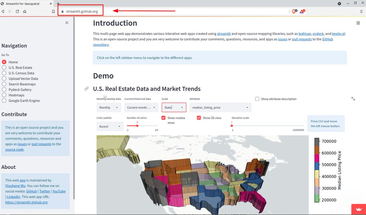
#Streamlit does not yet support custom domain. Here is a workaround: iframing your app into index.html and put it in your repo, then create a gh-pages branch and add your custom domain to GitHub pages. Check out my app with a custom domain 👇
https://t.co/LpcKK9yI6p
#geospatial
In this python code, We can classify the latitude into North-South and longitude into East-West. What do you think this code prints out? and Why do you think it works without having an explicit If/Else statement?
#python#programming
Wrapping up the week creating Tkinter Python Game for my upcoming Course.♨️
This is one of the game projects in the course. The learner gets hands-on experience building interesting geographic games and learning Python's fundamentals right with the Geo 🗺️ Flavor.
#Geopython#GIS
In this project, we use low-level libraries. Hence, we use few packages, including Shapely & Fiona for geospatial data handling, Tkinter for the GUI, and Matplotlib for the data visualization.
#Fiona#Shapely, #Tkinter#GIS
We're happy to announce that @geopandas is participating in the Google Summer of Code 2021. We have three exciting projects mentored by @jorisvdbossche, @martinfleis and @astutespruce with help from @matplotlib's @QuLogic. Details on wiki and in the 🧵 https://t.co/vud1W1Iy52 1/n
📢 Job Opening at LISER!
🎓 LISER is recruiting a Research Associate (#postdoc) in #spatialdatascience and #geospatial infrastructure within its Urban Development and Mobility department (UDM).
⌛ Apply online before March 31st.
🔎 https://t.co/K0WoqN3q1P
Reading source code or any other Github Repository Code is really easy with this trick: add 1s to the end of GitHub in your browser and you have a preview of Visual studio code to inspect.
#python#programming#spatialanalysis#github
📯📯contextily 1.1.0 is fresh out of the oven!!! 📯📯 Same super easy basemaps in your python mapping + now thanks to @jpn, we support transparent layers (ie. all the labels!!🏷️) Release notes: https://t.co/wLtUYLF5ne Docs: https://t.co/S8HE95EvDU Example: https://t.co/ffcsZwuszK
Wrapping up the term means new iteration of the GDS course. This time it's a biggie! Videos, new content, and new backend. All for the same right price (£0) and just as open (entirely). Geographic #DataScience 🌍📊💻 in #Python 🐍 for the masses 👭👬👫🥷🧜♀️ https://t.co/tLBDbBq2DB
The third part of @mort_canty's tutorial series "Detecting Changes in #Sentinel1 Imagery" has been published!
This one is on multitemporal 📆📆📆 change Δ detection 🧐
#SAR in #EarthEngine
https://t.co/kGWwh7SXOy
24 hours to go for the #QGISOpenDay event. I am giving a 2-hour class on Advanced Expressions with an end-to-end example of automating a spatial homogeneity test using just #QGIS expressions. Mark your calendars and join me live https://t.co/vqeZ0EbezC