8 AM Thu, Jun 11: The Bay of Campeche is the only area of interest in the tropics right now. A tropical wave moving west across the Yucatán Peninsula could spawn a broad low-pressure area on Friday, but conditions are only marginally favorable for development before the system moves inland over eastern Mexico this weekend.
📈 Development chances remain low:
• 10% in 48 hours
• 10% in 7 days
Visit https://t.co/Wq6ZtKfHp9 for the latest info.
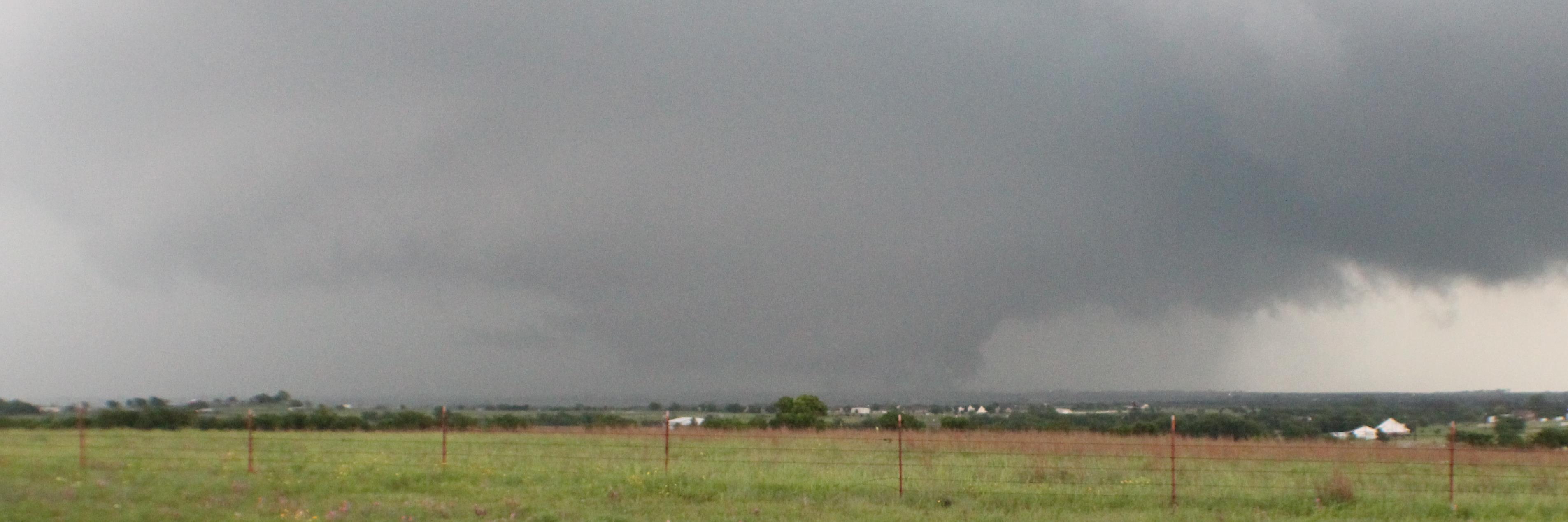
A weak front will approach the area late tonight into Friday which will bring scattered thunderstorms to parts of North Texas overnight through Friday afternoon. Gusty downburst winds and frequent lightning are possible.
Widespread showers and thunderstorms are forecast from Sunday into Monday as a cold front pushes through. A few strong to severe storms are possible with a threat for strong downburst wind gusts. Plan for possible disruptions to outdoor activities during this time period.
Storm chances will increase for portions of North Texas for the end of this work week with scattered showers and thunderstorms possible north of I-20 Thursday Night into Friday. Temperatures will remain near or slightly above normal with highs in the low and mid-90s.
Chances for showers and storms will increase heading into the upcoming weekend while hot and humid weather continues. Plan ahead for possible interruptions to outdoor activities due to scattered thunderstorms.
7:05am CDT #SPC Day1 Outlook Slight Risk: this afternoon and evening from northeast Colorado and southeast Wyoming into parts of Nebraska and Kansas. https://t.co/TgJgC6cj9Y