UK/EUROPE Storm Tracking & Forecasting | Your source for real-time storm updates, chase reports & accurate forecasts | Follow for severe weather alerts
Thunderstorm Watch issued!
Developments are beginning in these areas which may electrify within an hour. This will likely be updated around 15:30 as it expires then.
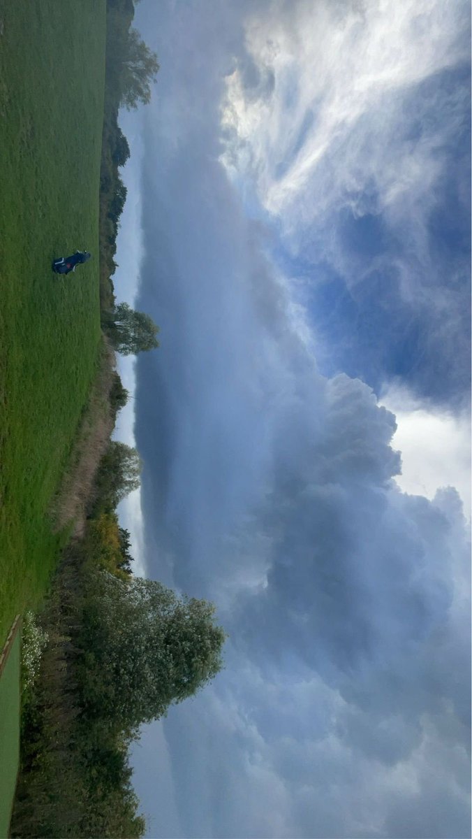
February's photo of the month has ended, thank you to everyone who participated. Congrats to @nvangelder03 for winning February's photo of the month competition!
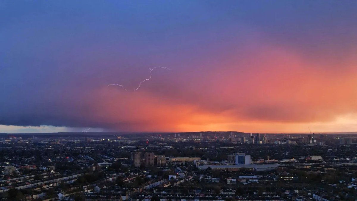
Huge congratulations to @Rocky, the winner of 2024's "photo of the year" (2024) competition. The winning submission is this spectacular anvil crawler, which had won August's photo competition. Thank you to everyone who took part.
Open letter to the @metoffice requesting information on the feasibility of releasing advanced doppler radar products to researchers and weather enthusiasts here in the UK.
Please show your support by liking / commenting to see how many people would be interested! 🌪️
🌬️ Severe winds may impact southern England tonight, with gusts of 70-80 mph likely to cause significant disruption. The strongest winds are expected from 10PM to 6AM, with conditions easing gradually afterward. The storm's track is somewhat defined, leading credence to significant impacts in a corridor from the coasts of Southampton up to Norwich.
📊 Confidence: Medium due to some model discrepancy— dangerous conditions are still expected.
⚠️ Prepare for fallen trees and hazardous travel. Avoid exposed areas during peak winds and stay indoors.
🔍 Meteorological setup: A mesoscale convective vortex (MCV) is set to track NE from the Channel. Strong convection wrapping around the low center suggests enhanced wind threat beyond typical values.
🎥 Live coverage: We'll be streaming storm chase updates starting 10PM tonight. Follow for real-time conditions and expert analysis.
#UKwx #StormChase
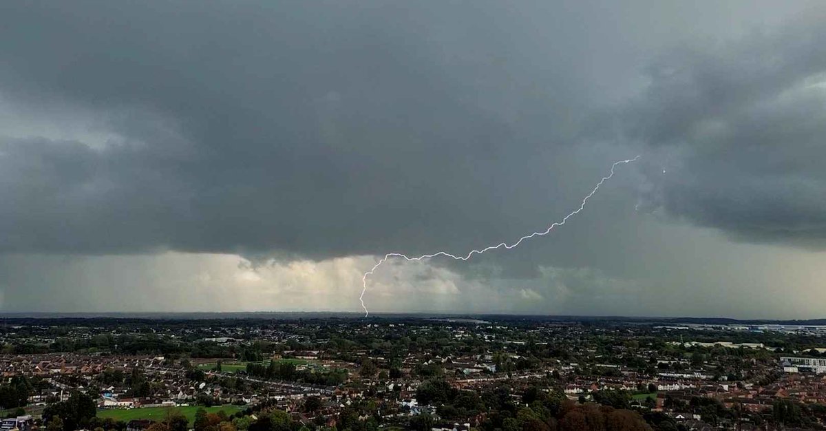
Here's our winner for September's photo of the month! A beautiful lightning strike captured by @MetWatchUK
Thanks to everyone who participated in September's photo of the month! Join our discord to participate in future photo of the month events (link in bio).
Congrats to @rockygalaxy981, the winner of August's photo of the month competition, with this incredible shot of an anvil crawler in Greece. 🌩️
Be sure to join our discord server to partake in next month's competition and connect with other weather enthusiasts! 🌪️⛅️ #thunderstorms #severeweather
⛈️Some models are currently showing some early signals for thundery weather next weekend
Still really far out, but worth keeping an eye out.
#thunderstorms#uk#severewx
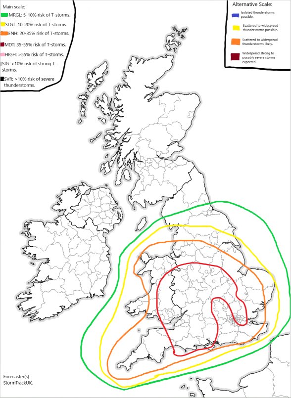
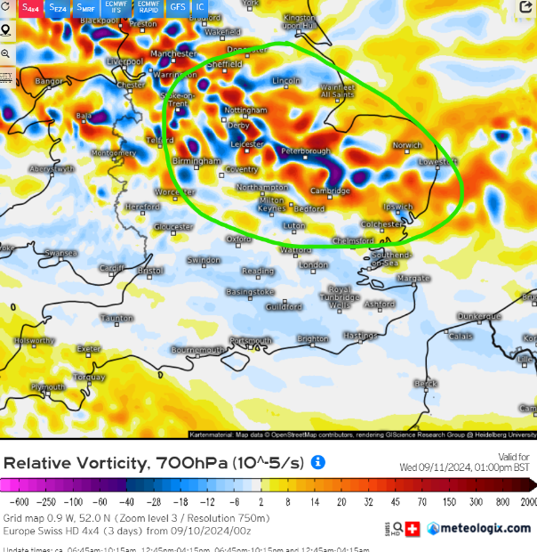
🌧️Some moderate showers may develop throughout the day tomorrow.
☔️Low CAPE values will limit the intensity of these showers and lightning density is forecasted to be minimal. We are currently unsure if a convective outlook will be posted, but here is a rough area where these showers may develop based on Swiss 4x4 parameters.
#thunderstorms
#uk
#severewx
⛈️ As forecasted, numerous wide-spread pulse storms, some being decently strong, materialised across the uk.
Here is an image of the lightning strikes from 12 - 6pm ⚡️
#thunderstorms#uk#severewx