June 11, 2026 - Ipava Tornado Synced Footage Teaser
Sneak peek to the first true long-form video on the Tacoma YouTube channel coming Saturday (06/27) at 12 PM CDT!
https://t.co/Ll7FSie2RS
#wxtwitter#ilwx
Still trying to wrap my head around the fact that I saw all this yesterday not even an hour from home live on the @TacomaChasers YT channel. Illinois is really shining bright in terms of weather events in 2026, and I’m loving every minute of it!
#wxtwitter#ilwx@NWSChicago
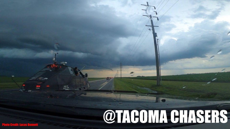
🔴LIVE🔴 June 24, 2026 - Chicagoland Severe Weather Live Stream
Join us at ~5:30 PM CDT as Tacoma members Lucas and Nathan chase a sneaky 2% tornado threat across the Chicagoland area this afternoon and evening!
@Beanrock1241
https://t.co/YPHoeSg2cX
#wxtwitter#ilwx
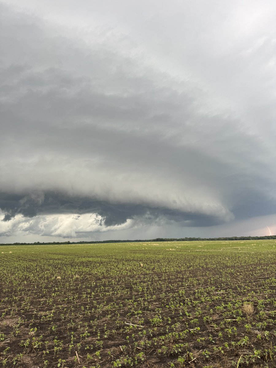
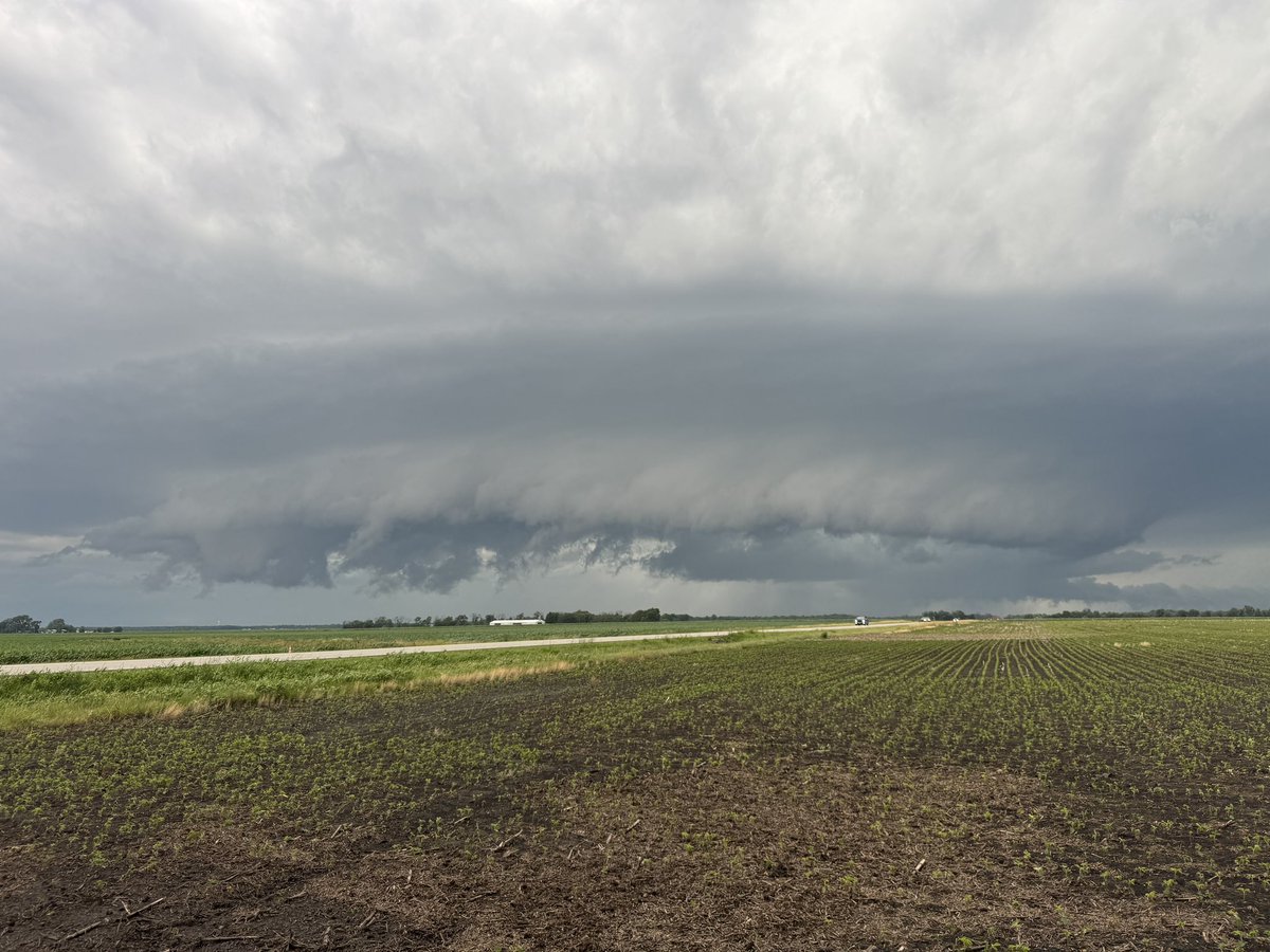
Although Tacoma members Lucas, Nathan, Ben, Quintin, and Tommy missed the tornadoes downstate in Illinois today, the unbelievably beautiful storm structure definitely made up for it down near the Mattoon area!
#wxtwitter#ilwx@NWSLincolnIL
🔴LIVE🔴 June 17, 2026 - Northern Illinois Severe Weather Live Stream
Join us for yet another storm chase day with ALL 6 Tacoma members out chasing storms south of the I-80 corridor this afternoon and evening across N IL and NW IN!
https://t.co/Mm67L2DTop
#wxtwitter#ilwx
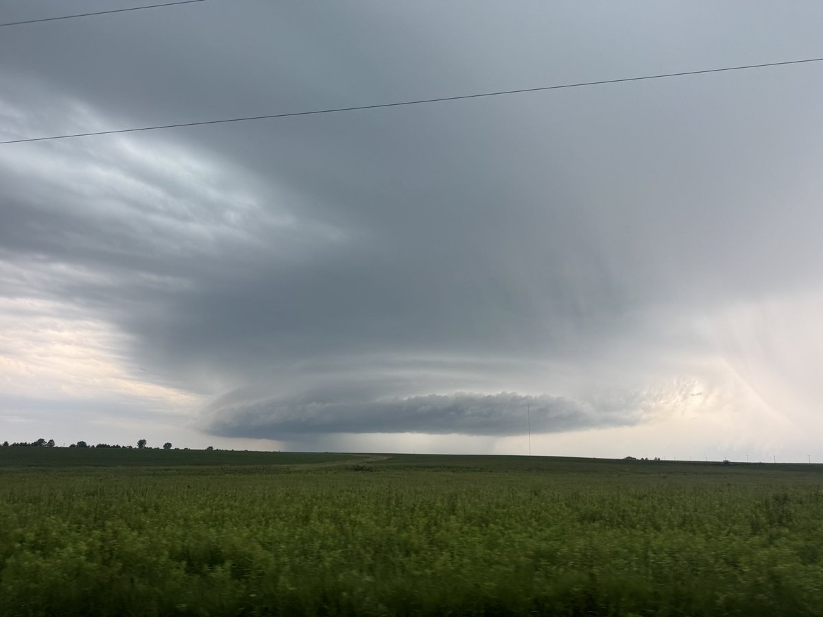
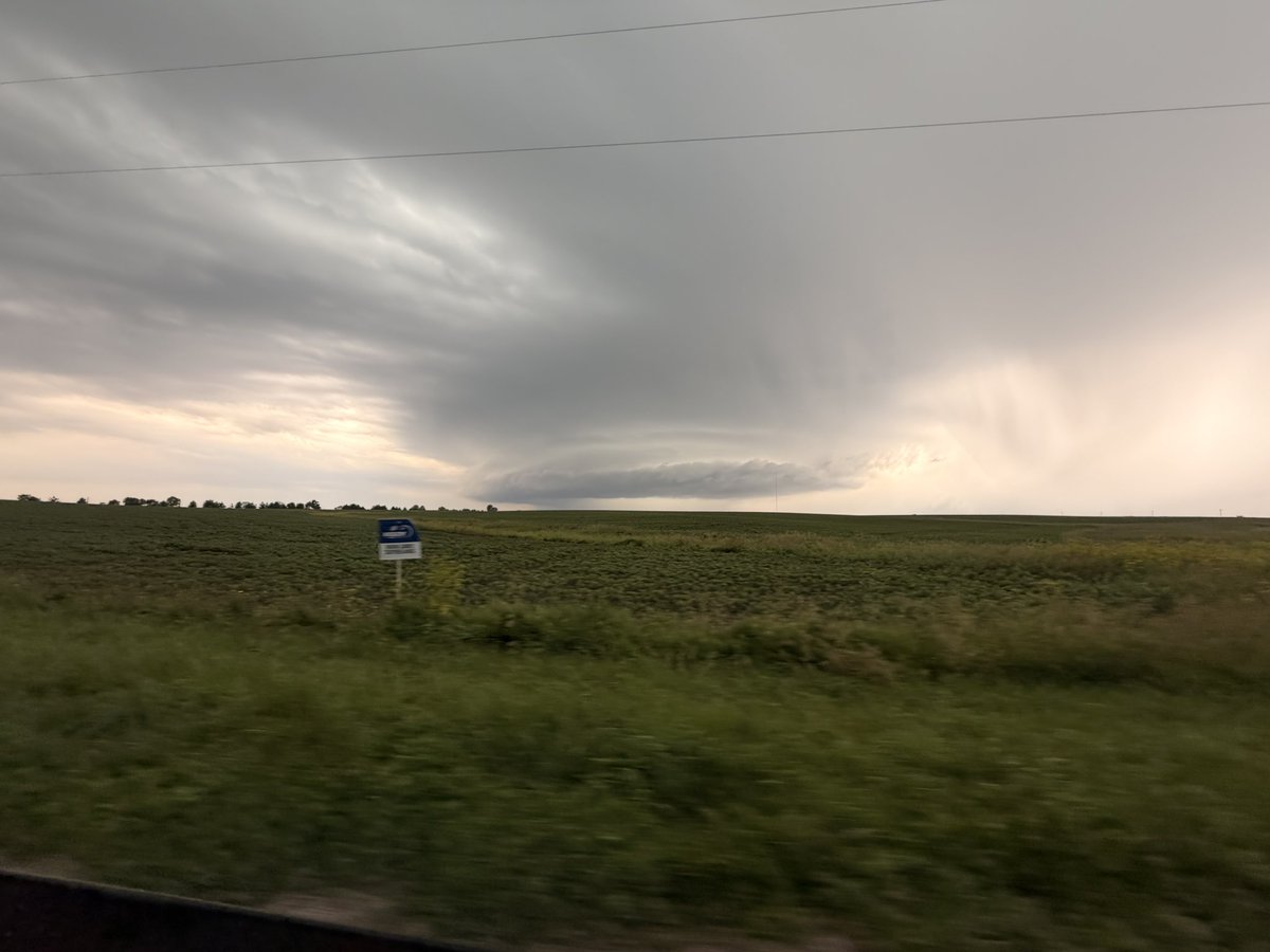
Been quite awhile since I've seen such a potent look for a Midwest severe weather event.
A tornado outbreak appears increasingly likely tomorrow, with the potential for a couple of intense tornadoes across portions of northern IL and into IN.
Semi-discrete supercells are likely to develop within an exceptionally favorable environment characterized by 500+ m²/s² of storm relative helicity, 60–70+ kt of deep-layer shear, and a strengthening 40–50+ kt LLJ into the evening. A MDT 15% CIG2 appears appropriate at this time.
**Dangerous tornado outbreak possible**
Model guidance has continued to trend toward a potentially high end severe weather event Wednesday, with an increasing signal for numerous strong tornadoes and significant damaging winds across north central IL into IN.
A potent shortwave is expected to eject into the Upper Midwest while strong mid- and upper-level flow overspreads the warm sector. Combined with a ripping LLJ and highly favorable thermodynamics, the environment will likely become supportive of a significant tornado threat, including the potential for a few strong tornadoes. Definitely one of the most high end threats I've covered for northern IL area before.
Sneak peek to our chase recap video from last Thursday’s successful chase featuring the Ipava, IL EF0 tornado and @ReedTimmerUSA and the Dominator 3 racing towards the tornado!
#wxtwitter#ilwx
Sneak peek to our chase recap video from last Thursday’s successful chase featuring the Ipava, IL EF0 tornado and @ReedTimmerUSA and the Dominator 3 racing towards the tornado!
#wxtwitter#ilwx
230pm: The enhanced risk was expanded and we introduced a 45% hatched area for significant severe weather Wednesday afternoon and evening. All hazards including strong long-tracked tornadoes are possible. #ilwx
4 years ago today, a monstrous supercell exploded like a nuke over Chicagoland. This storm exceeded 65K feet in height and caused damage to much of the CHI metro, dropping a few weak tornadoes. If shear was better, a tornado disaster may have transpired #ilwx
We ain’t done storm chasing just yet!
Next Wednesday (06/17) is looking like Tacoma’s next chase day opportunity in a very similar area to last Thursday when 5 members of Tacoma documented the Ipava EF0 tornado.
More details will be provided soon!
#wxtwitter#ilwx