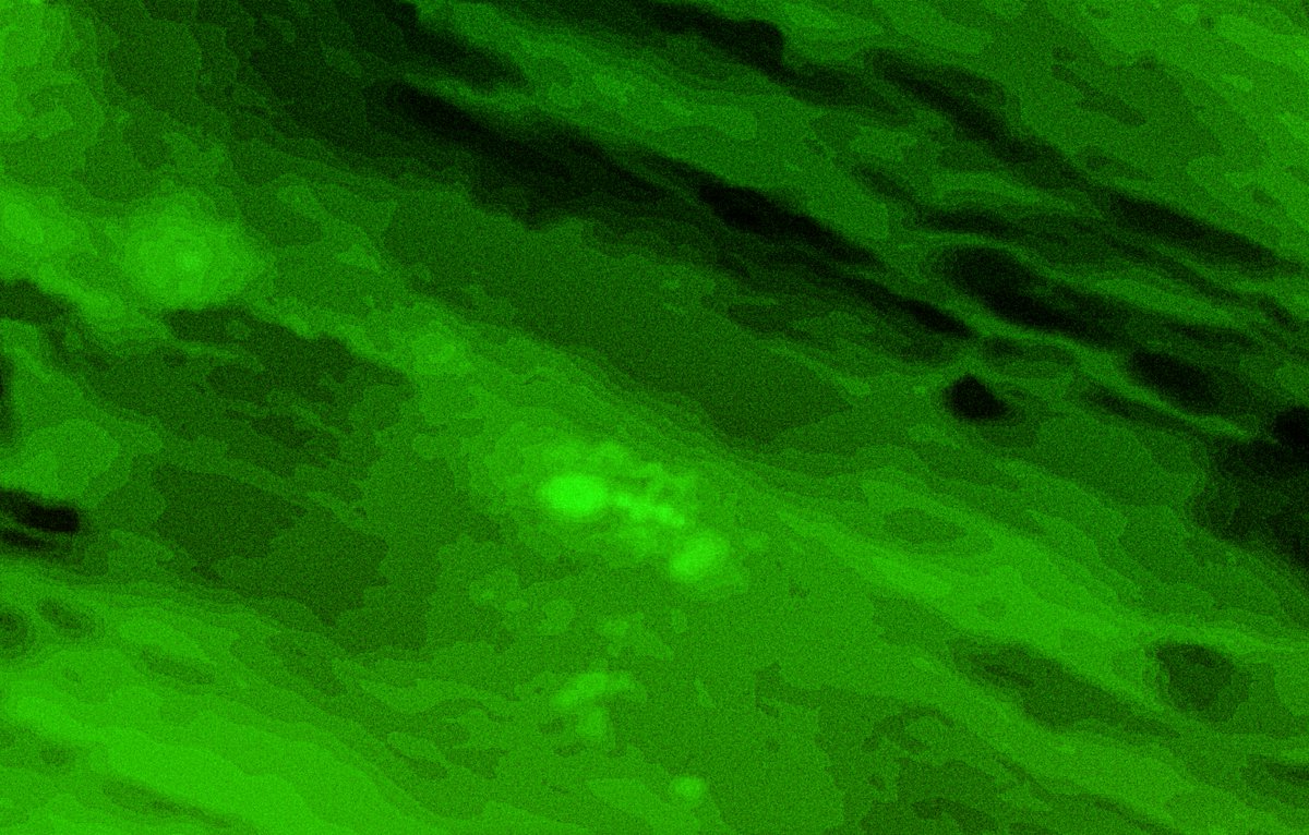
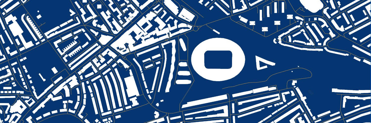
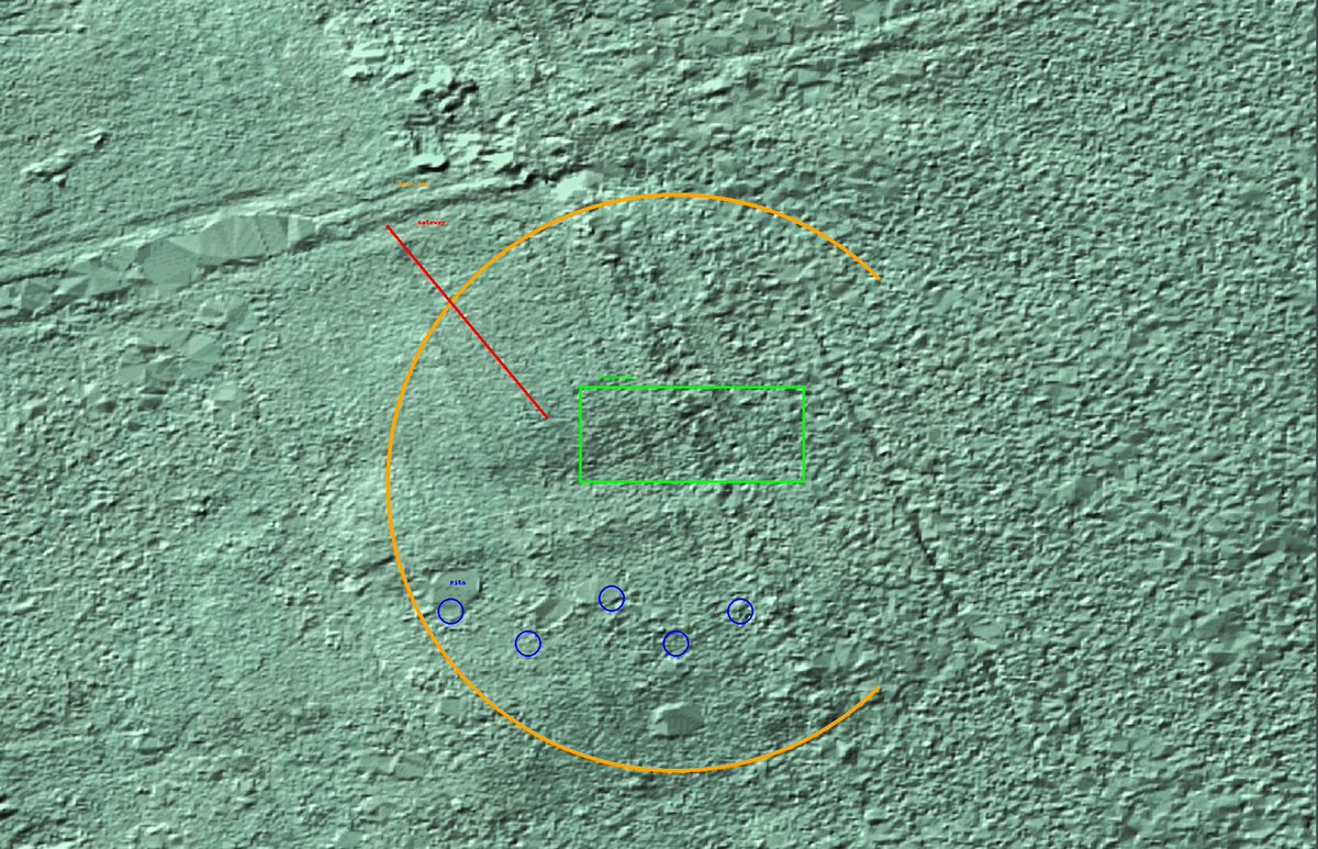
Manmade berm predating European settlement and farm tracks -- along with potential manmade structural foundation -- appear to be visible based on Ontario Geohub 5m LIDAR data @KawarthaLakesON@kawarthalakes
Potential undiscovered Wendat Longhouse archaeological site 2km west of Lakeview Estates, Ontario at 44.451396, -78.529233. Potential building footprint from AD 600-900 in centre of earthen berm. @kawarthalakes#Archaeology#Lidar#Kawartha
This is the area that @MOTMalaysia and @Ocean__Infinity are searching in the hopes of finding #MH370. The latest data should provide ample detail, but so far no word of airplane debris. #GIS#Mapping
@breakfastmeat1 More than likely the wreckage area would have been far more scattered like Air France Flight 447 in an array of debris up to 500m. The fact this is contained leaves me doubtful, but its so close to the proposed ditching line I'm surprised no one has mentioned it.
@breakfastmeat1 This wasn't in the contact investigation doc. I actually suspect this is a small outcropping of basalt sticking out the sand given the volcanic features ~1km SSE of it, but the reflectivity and general shape of it gave me pause.
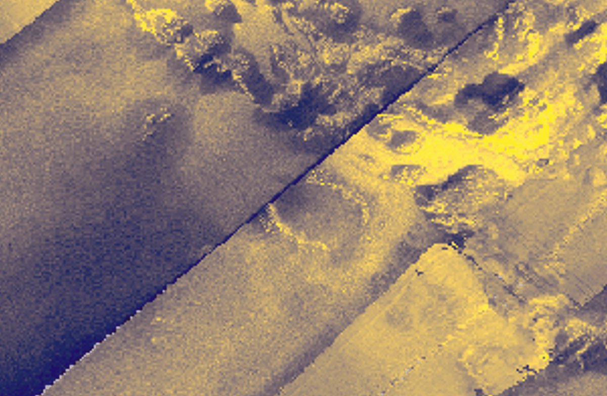
While everyone's making Studio Ghibli adaptations of images, I used the new @OpenAI imagegen to texturize the MH370 Bathymetry data at one of the theoretical crash sites in the Indian Ocean. this type of workflow could dramatically improve our seafloor data. #GIS#OpenAI#MH370
Running high-grade texturization and contrasting on #MH370 seafloor data. Not sure if Ocean Infinity is looking at this but there is an anomalous shape located at -36.0803, 93.1558 (middle right). That dark gap is approximately 1.5kms wide. @MOTMalaysia@Ocean__Infinity
The #MH370 search team is currently combing the seafloor around -36.095, 92.400. This was first examined in the original search with the satellite imagery below, which I have texturized and upscaled for contrast and clarity. #GIS
I asked @deepseek_ai where he thought #MH370 was located, and the AI *insisted* that an "impact crater" at 34.50123°S, 93.49876°E on the @fugro GoPhoenix data was the site of the wreckage. I personally think the crater is stone but it's worth exploring further.
It really is incredible how Russia produced so many great writers. This article recommends some that I encourage you to start digging into, if you haven’t already.
20 Great Russian Novels You Should Read Right Now | @TapestryReader https://t.co/AhgpIrjYTo
#Tolstoy#Dostoyevsky
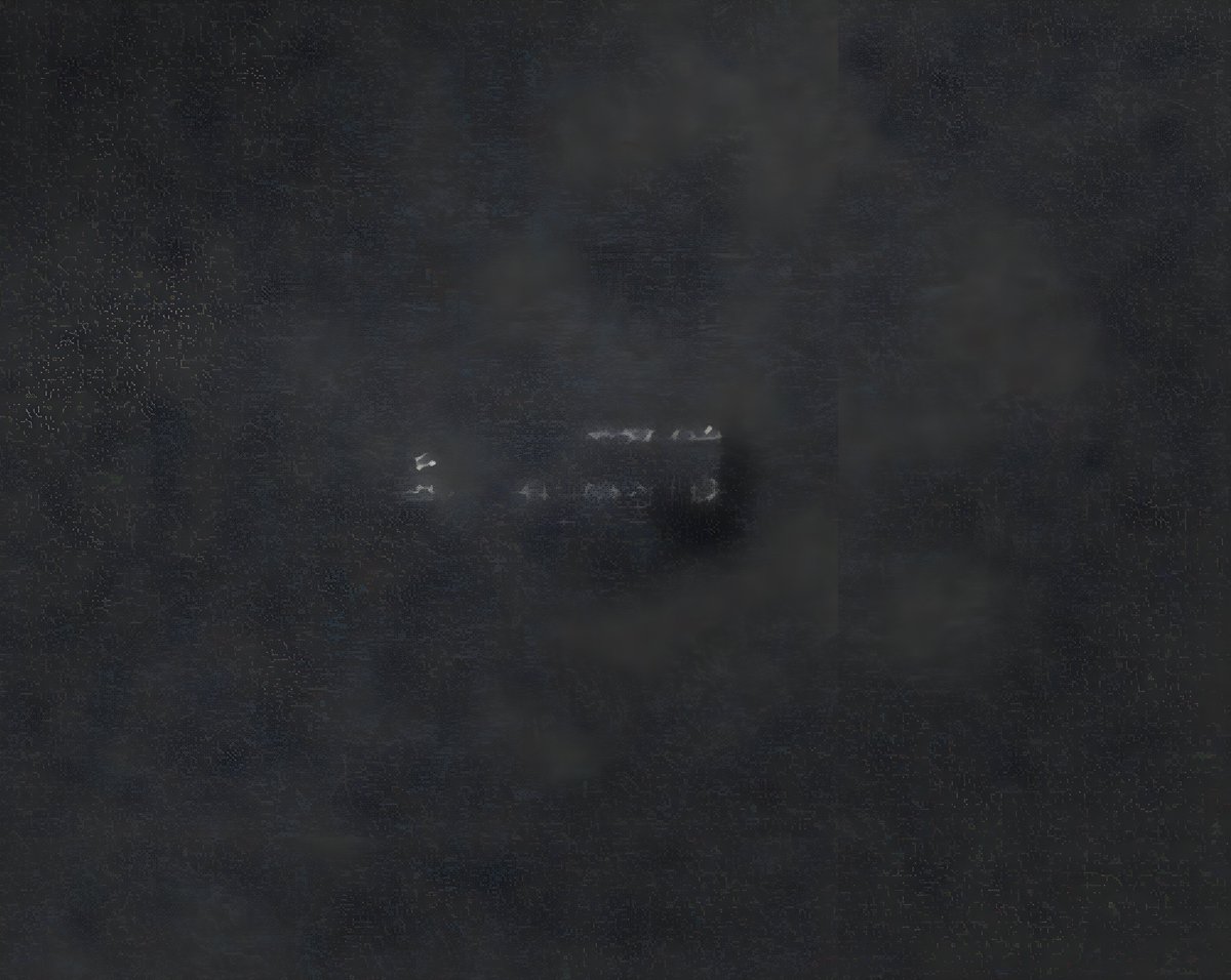
@MOTMalaysia@atsbgovau@perthnow 1. Shadow right of the object is disproportianately darker, and radiance of outcropping is disproportionate to isolated geology 2. Object appears symmetrical on a horizontal plane, and (could be image overfitting) has three straight edges.
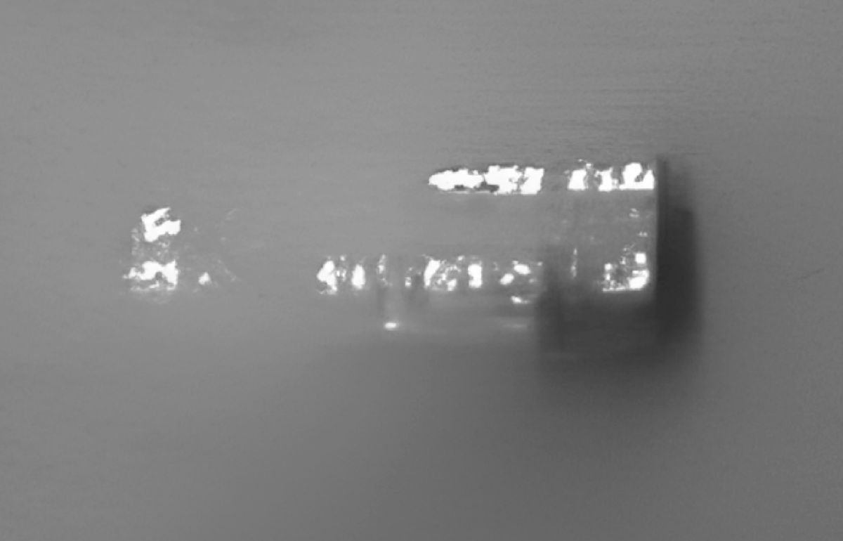
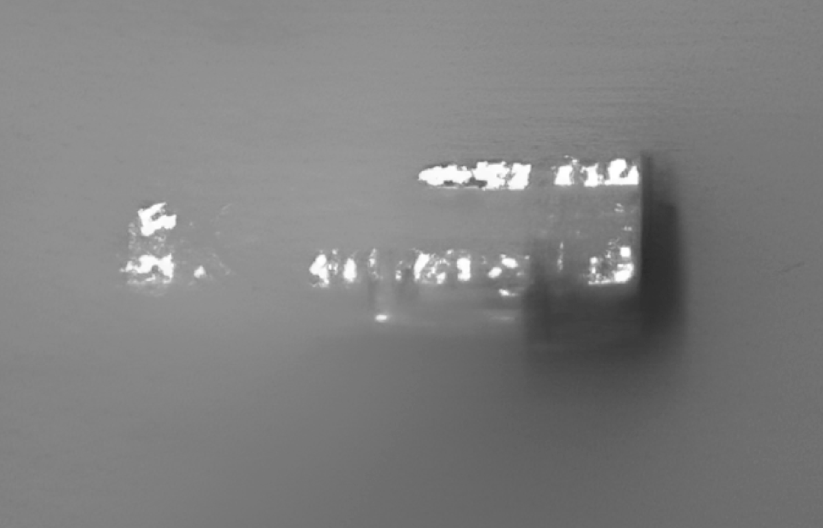
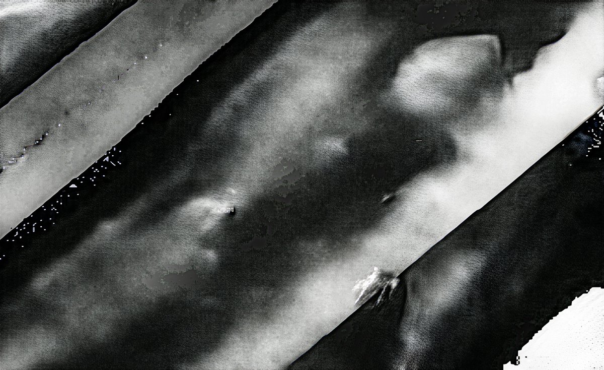
More images from the object of interest at ARC7 (-34.76895, 93.06392). #MH370. The object boasts similarities to an upside-down broken fuselage. Images obviously subject to interpretation, but location matches ARC7 flight route exactly. @MOTMalaysia@atsbgovau@perthnow
@APhilosophae Apparently some images I shared earlier are making the rounds. Here's another image of the object of interest at -34.76895, 93.06392 #MH370
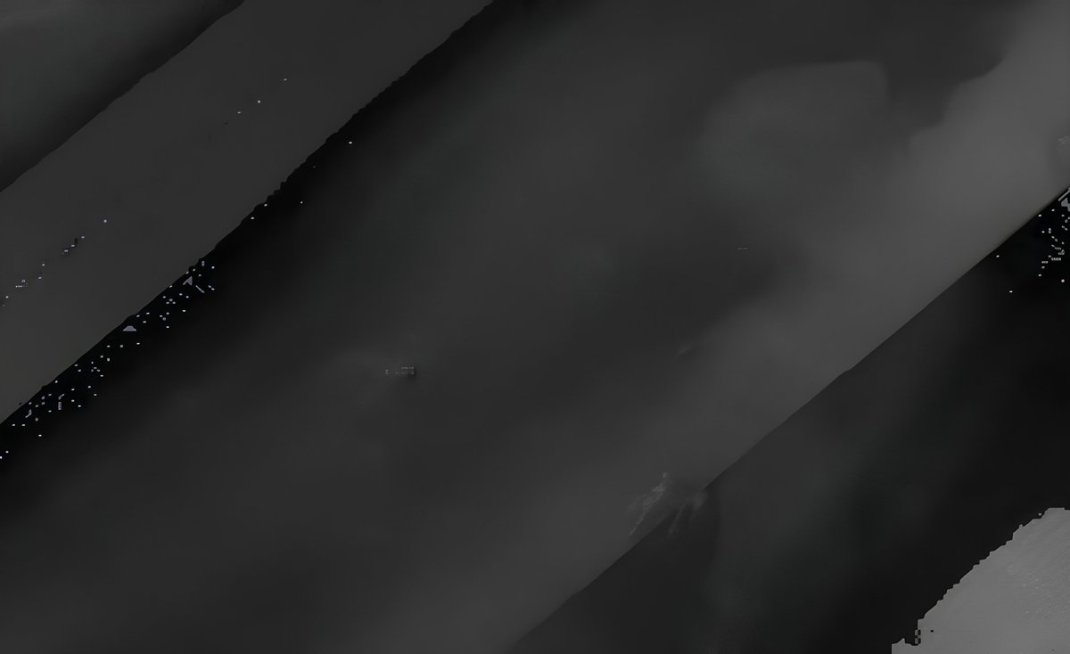
@TapestryReader@fugro@MOTMalaysia@atsbgovau Here's a live map on Geoscience Australia - AusSeabed Marine Data Portal, centered on your -34.769, 93.064 site. It has several layers at different resolutions. This is 5m/pixel.
I'm guessing you sourced the depth map from GEBCO data.
https://t.co/aet07TzooU
Back to the original image. The left side of the object bears resemblance to the undercarriage of a Boeing
Boeing 777-2H6ER. My theory is that we are looking at half the hull of the plane, upside down, with the wheel wells exposed on the left #MH370