The Storm Prediction Center has eastern Iowa in a slight risk, with our central and northern zones at an enhanced risk and Butler, Bremer, Chickasaw, and Grundy counties at a moderate risk. Primary threats are damaging winds and heavy rain.
It's going to be a beautiful weekend in #ThinkIowaCity!
🎨 @MidWestOne Rock the Chalk Friday
🤠 Friday Night Rodeo in @TiffinIowa
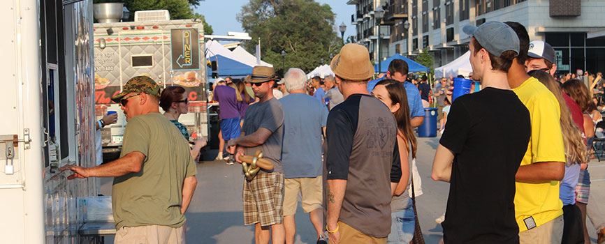
🎈 @Coralville_IA 5th Street Social Saturday
🎭 Iowa City Community Theatre A Grand Night for Singing Fri-Sun
🖍️North Liberty Makers Market Saturday
Here is the latest forecast visibility for the solar eclipse on Monday. Be ready to pivot and drive to a new location if clouds will obstruct viewing of the eclipse. Be flexible.
Here are the latest winter warnings and advisories across the state of #Iowa that will continue to be in effect until 6AM Saturday. Blowing snow will continue to be an issue due to the strong wind gusts. #IAwx#IowaWeather
10:30 SPC UPDATE: A rapidly evolving outbreak of severe storms with widespread damaging winds and a few tornadoes is expected to begin by mid-afternoon across eastern Nebraska and continue northeastward into the upper MS Valley by early tonight. #IAwx