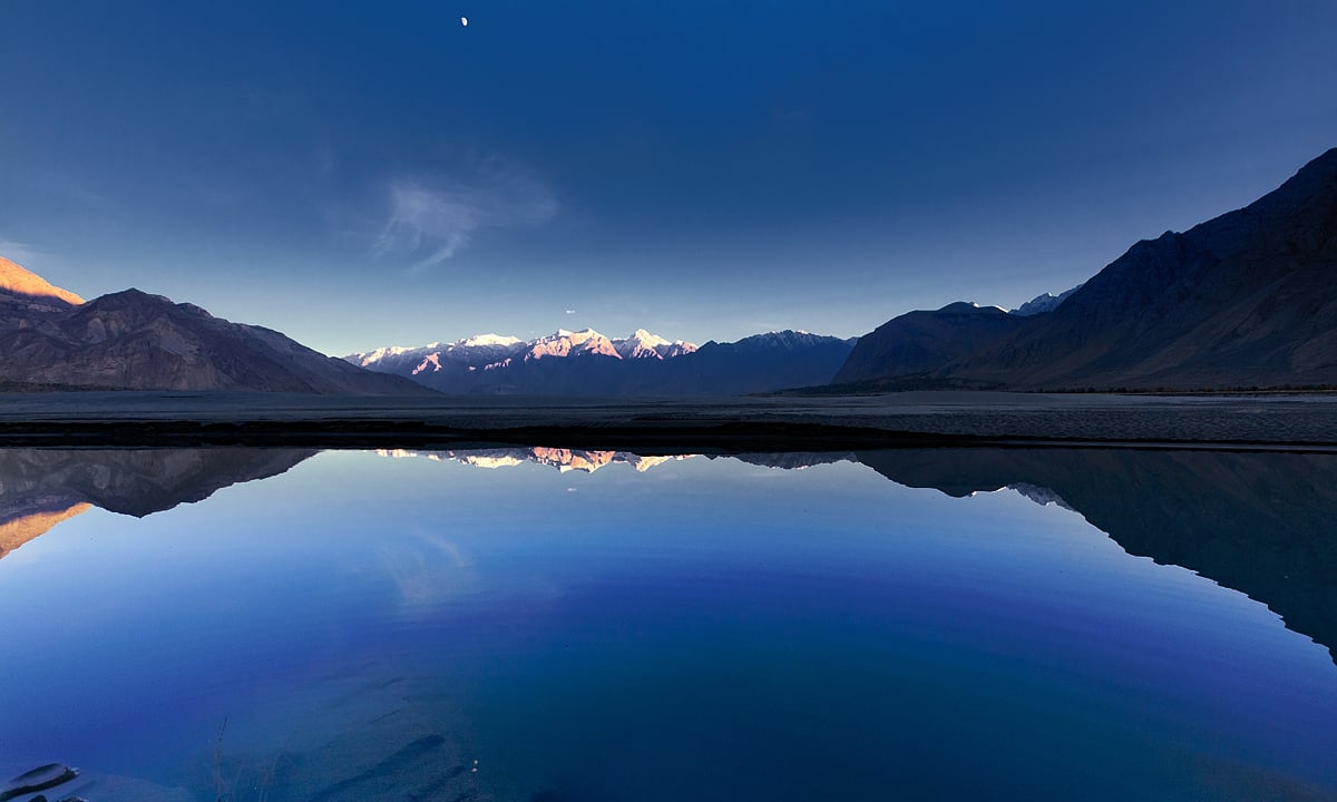
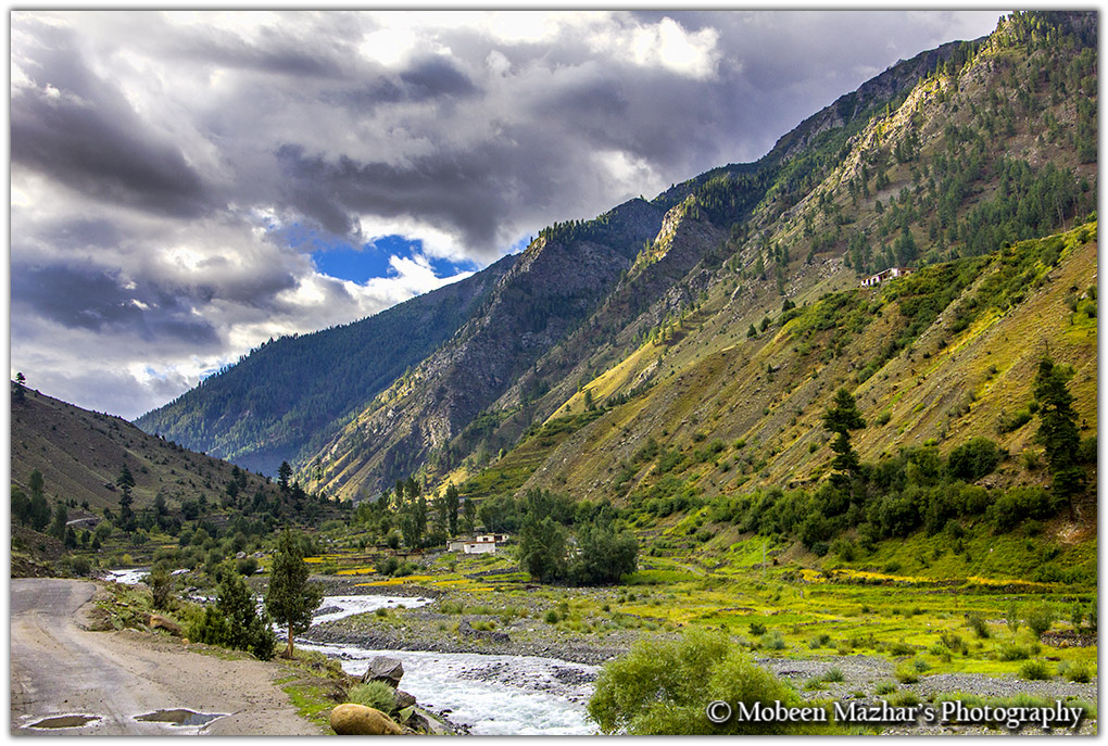
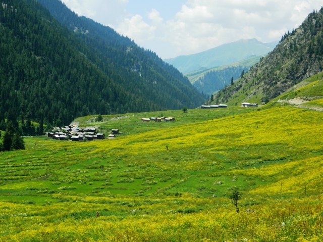
The Gultari Valley is amongst the biggest valleys of Baltistan, is located in south of Skardu. It comprises three valleys, Shingo, Shigar and Phultukus, with the majority of the people speaking the language Shina. These valleys are enclosed between the mountains of Himalaya.
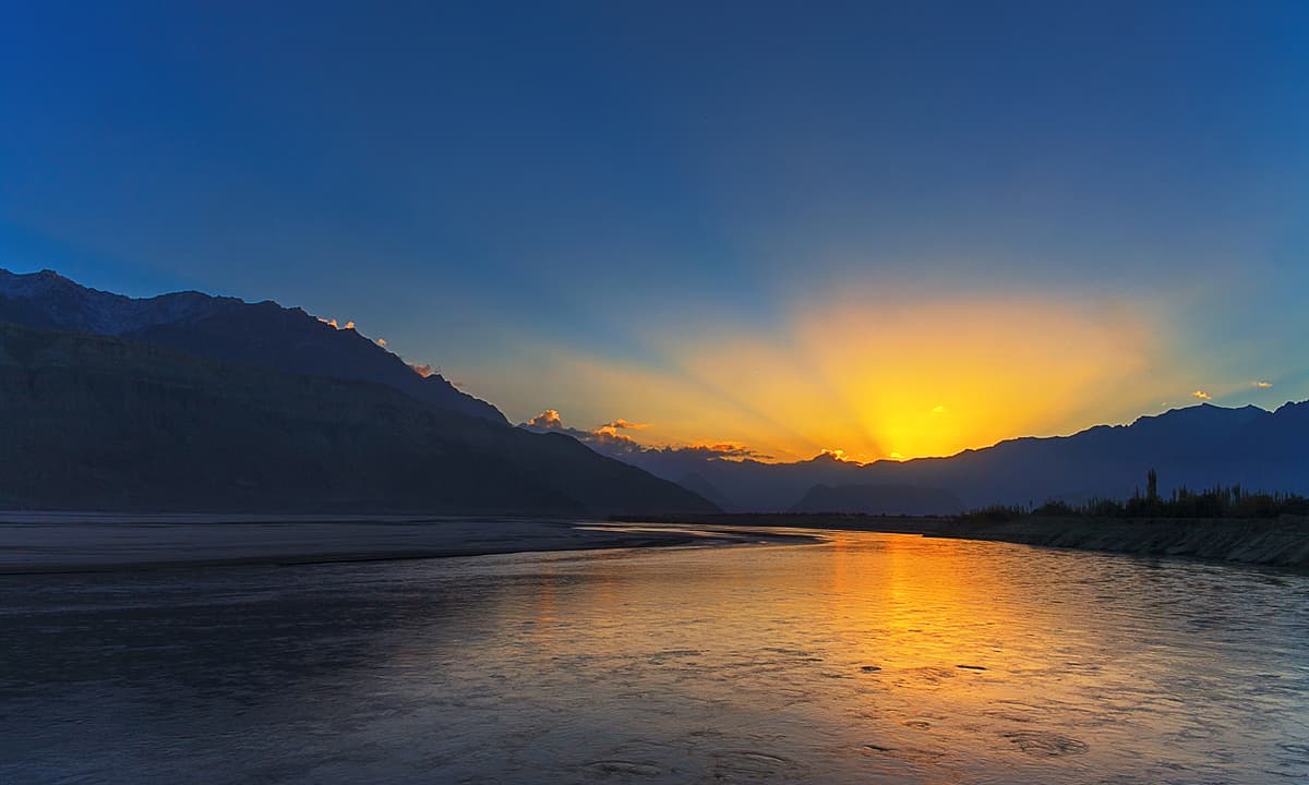
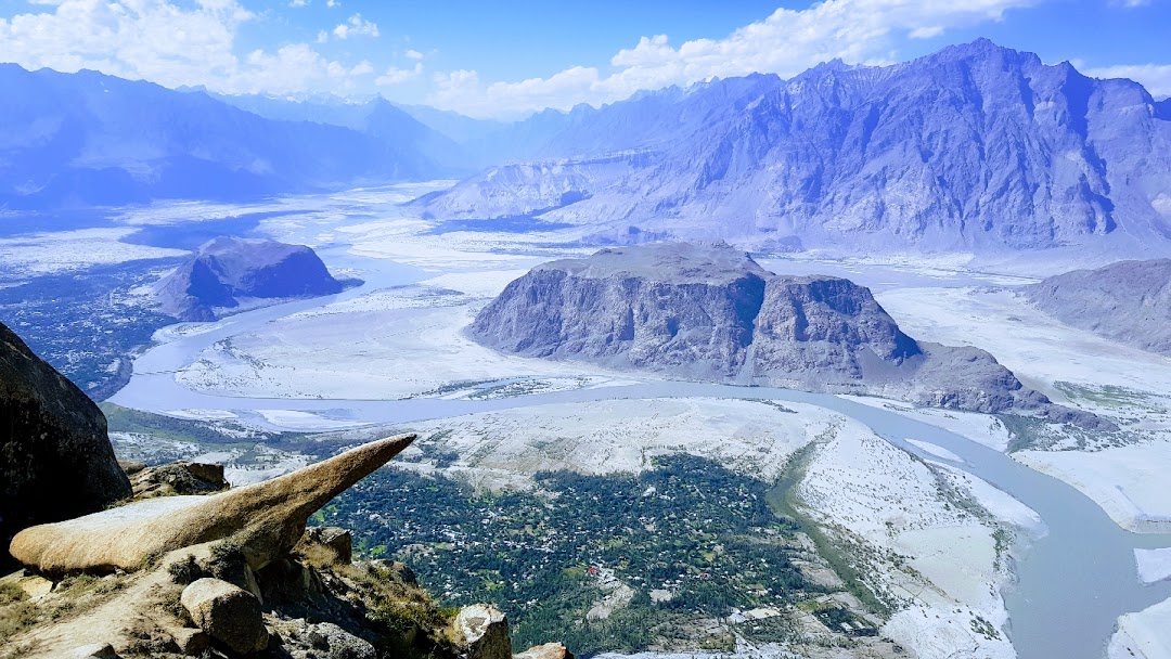
The is a transboundary river of Asia and a trans-Himalayan river of South Asia. The 3,180 km (1,980 mi) river rises in Western Tibet, flows northwest through the Ladakh and Gilgit-Baltistan regions of Kashmir, bends sharply to the left after the Nanga Parbat massif.
Marsur rock or Hussainabad Slab is an amazing rock located in Hussainabad valley near Skardu city, Gilgit Baltistan. Most importantly The Marsur rock has a resemblance to the famous Trolltung Rock Norway.
Complete Ban on Tourism between 8th May to 16th May. All hotels & Tourist places will be closed! Stay Home & Stay Safe @RNAKOfficial @FatehUllahPTIGB @iAliTajGB @OfficialNcoc @HomeDeptGB@Tourism_Dept_GB
Rattu is a small village town located at the Astore district in the Northern Areas now known as Gilgit Baltistan of Pakistan. Rattu has been traditionally used as a route for traders going to Kashmir from Astore, Gilgit and others parts of present-day Gilgit Baltistan of Pakistan
Gudai is a village in the Astore district at the distance of 16 km from Gorikot and 27 km from Astore village. Gudai is famous for the fresh water and trout fish in the area. It is a gateway to Deosai Plain, one of the world highest plain, from Astore Valley
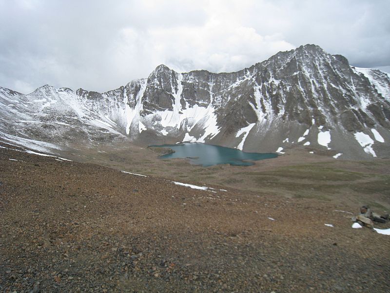
Burji Pass is a natural pass in the Karakoram mountains between Skardu and Deosai National Park in Gilgit Baltistan. Its elevation is 5000 meters. It is famous especially for its beautiful panoramic view of many mountain peaks, including that of K2, Nanga Parbat, Masherbrum.
Gudai is a village in the Astore district. Gudai is beautiful village in Astore Valley at the distance of 16 km from Gorikot and 27 km from Astore village. Gudai is famous for the fresh water and trout fish in the area. It is a gateway to Deosai Plain.
The Burzil Pass (el. 4,100 m (13,500 ft)) is an ancient pass in northern Pakistan, and is part of the historic caravan route between Srinagar and Gilgit. The pass lies close to the Line of Control demarcating India and Pakistan, which has since closed the Burzil.
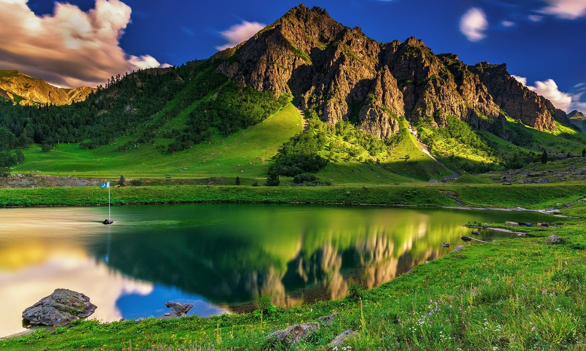
Allah Wali jeel also called "Allah named Lake” is one of another ancient tourism spot of Astore Valley. It is at the end of Perishing valley in Gotomsar town, 45 minute drive away from the Astore (HQ).
Bara Pani is a local name to indicate the Larger Water stream flowing from the top of icy mountains of Deosai. Bara Pani is located between Kala Pani and Ali Malik Mar Pass. Bara Pani is an ideal campsite surrounded by a vast stretch of the park and snow-crowned mountains.
Sheosar Lake is a lake situated in Deosai National Park, in District Astore. It is located at the height of 4,142 metres (13,589 ft). The lake is accessible through two routes. One is via Skardu and the other via Astore District.
Kala Pani with its lush green pastures is an ideal camp site for independent travellers. Kala Pani or the black water is a major campsite by a stream. while driving from Sheosar lake towards Skardu.
Our Prophet PBUH said "many nations before you were destroyed when there was one law for the powerful and another for the weak." Throughout history moral decay & corruption have destroyed states because without moral authority states cannot deliver justice.
Domail is a village in the Astore District. It is situated on the right bank of the Neelum River to the north of Taobat, approximately 190 km from the city of Gilgit. The average elevation is 2,844.6 meters above sea level.
Minimarg is a beautiful village in the Astore District. A scenic town closes to the Indian border. It is settled on the right bank of the Neelum River to the north of Taobat, about 190 km from the city of Gilgit. Minimarg feels like the most calm place of Gilgit-Baltistan.
Rupal Valley is located in the Astore District of Gilgit-Baltistan.Rupal Valley is on the south side of Nanga Parbat, is accessed via the Astore Valley, which leaves the Karakoram Highway at Juglot 60km south of Gilgit.
Chilam 3,406 m is the highest altitude village in Astore, Gilgit-Baltistan, it is 53 km away from Astore, which link to Deosai, Burzil Pass, Minimarg and Gultari via Deosai and Astore valley.