@FloodyAdina Fantastic with nice feedback and interactions! Indeed, so frustrating missing related works. Managed to sneak a peek at your poster and supplementary material, and your work is so interesting as well. Hope to discuss floods and satellite with you in the future 🌊🛰️#EGU23
All set for #EGU2023!
Do not hesitate to come by my poster "Flood twin experiment for estimating the potential of satellite observations in shallow-water simulations". See you on April 27th, 10:45-12:30, Hall A, board A.77! 🌊🛰️
Finally arrived in Vienna for #EGU23!
✅ Poster printed & available online
Join me on Thursday or anytime this week to delve into flood modelling using satellite imagery! 🌊🛰️ https://t.co/68Gm7zoCED
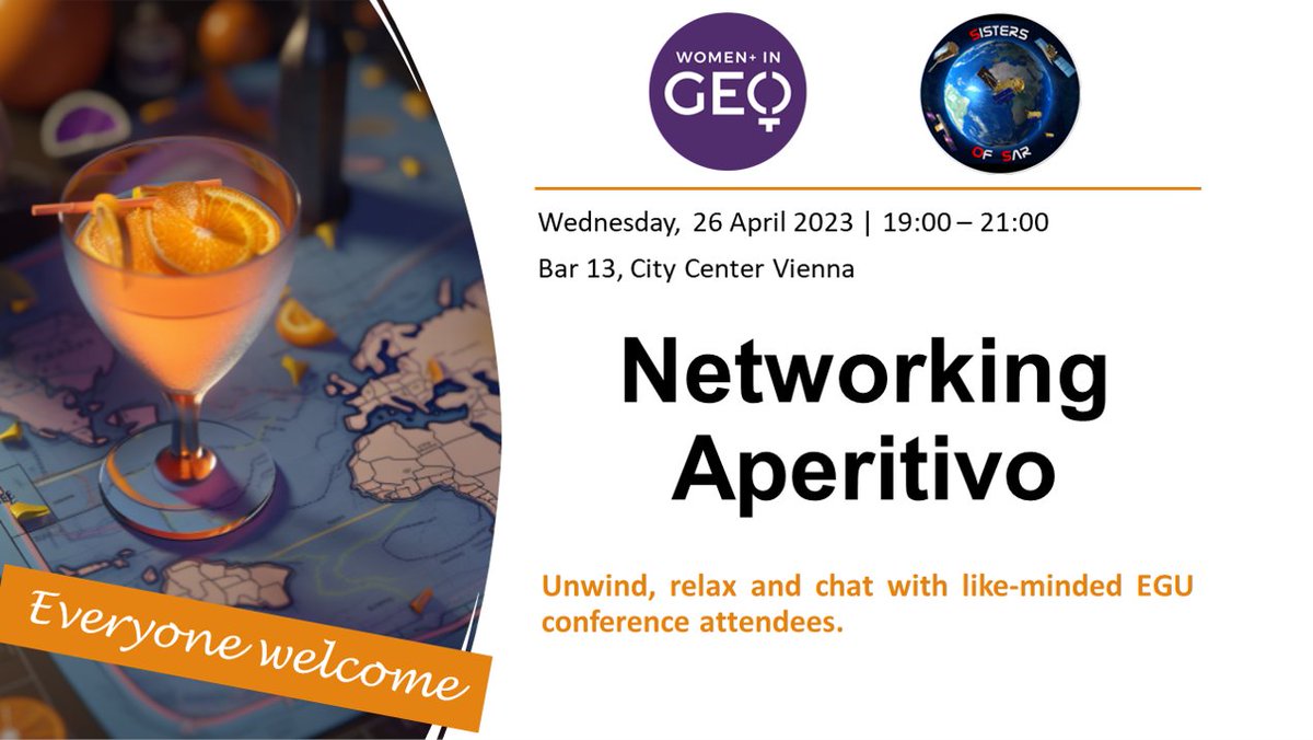
Don't miss out on the networking aperitivo by @SistersofSAR and @geospatialwomen during #EGU23! Join us on April 26, Wednesday at Bar 13 in City Centre Vienna to connect with like-minded professionals and support women in #EO!
Register @ https://t.co/sqkCIrHh9N
Spread the word!
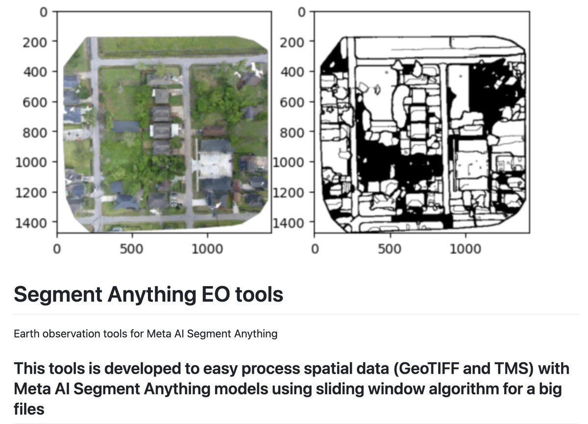
New discovery: Segment Anything EO tools 🔧
- download TMS data (including OpenAerialMap and Mapbox Maxar) as GeoTIFF files
- process GeoTIFF files with Meta AI Segment Anything models
- save predicted results as GeoTIFF raster data and GPKG vector data
https://t.co/lKz3SgOEaa
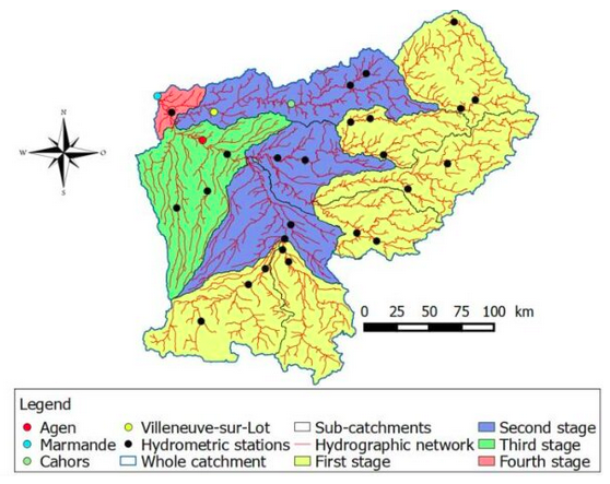
Want to know more about runoff modelling on large catchments with Shallow Water Equations? Check out our last conference paper "Modelling runoff for extreme rainfall events on large catchments using TELEMAC-2D"
https://t.co/xKcsnf5nrA
#TELEMAC#Hydraulics
A whole new view 🤩 🌊
First taste from the SWOT mission shows Earth’s water in higher definition than ever before. The spatial resolution of SWOT ocean measurements is 10 times greater than sea surface height data gathered over the same area by seven other satellites combined.