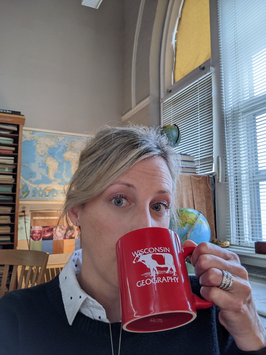
Sydney Davison repping #DayOfTheBadger while helping repair an old map in the map library. Who else has a cow shirt they want to show off? #DayOfTheBadger
https://t.co/eRIRhCTufR
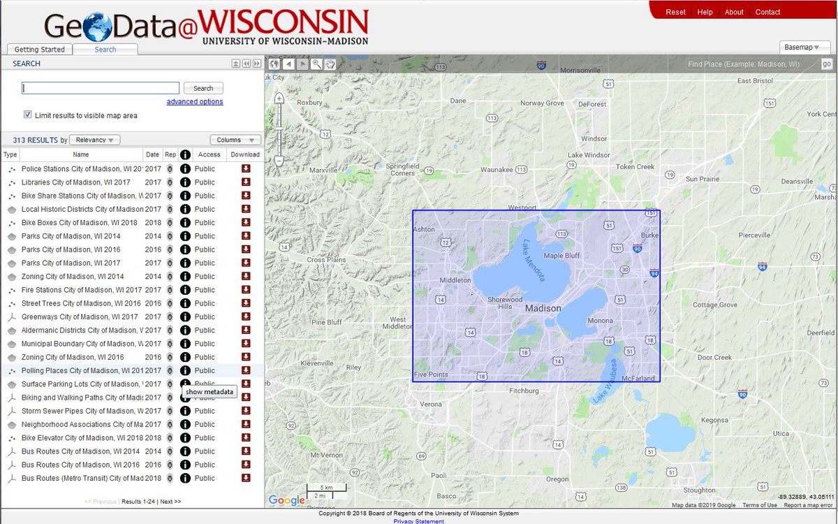
We just launched a new series of 'how to' videos - featuring tips on finding data, maps & imagery in the #geodatawi geoportal: https://t.co/mfyoyeW1R7
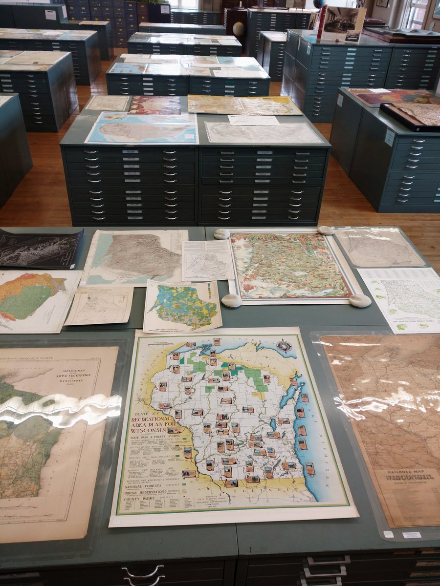
Shout out to @jymemart, Map & Geospatial Data Librarian @UWRobinsonMap, for continuing to support research and learning by scanning aerial photos from the library online request form - for remote library users. Visit online for map and data needs: https://t.co/6AJQIy2B4a
Check out our great interview with Dan Seidensticker, GIS Specialist from Greater Madison MPO. https://t.co/XoMZUzU9z0 Interview conducted by @jymemart @UWRobinsonMap#GIS#Madison
We're excited to share the new and improved Wisconsin Geoportal - https://t.co/mWImQnJMq8 We focused on new ways to develop collections, which means access to MORE data & maps from agencies & organizations across WI - including the geospatial archive at the Robinson Map Library
Big News! For the first time since it's initial launch in 2014, ALL geospatial data (over 2,500 datasets!) in the GeoData@Wisconsin portal are PUBLIC and freely downloadable by anyone. No restrictions on access is a WIN for data consumers everywhere! https://t.co/Ys4d5TRQwH
Looking for GIS data? The B1G Geoportal has a sleek new look! Now it's even easier to find data & scanned maps from all participating institutions: https://t.co/VyODoghZ80
Excited to add this to our collection today! Updated WI public school districts map, courtesy of our wonderful DPI. Thanks to @ohthatswitte for providing us with a copy!
Challenge accepted from @NYPLMaps
-7 days, 7 b&w photos of library life
-No humans, no explanations
-Challenge someone new every day!
For day 1 we challenge @AGSLib
#LibraryLife