Join our Facebook Live event at 9 a.m. tomorrow as Minister Sohi and PS Lauzon from @VeteransENG_CA release an interactive map to recognize the brave Canadians who fought for our country. #CanadaRemembers#LestWeForget#OpenMaps
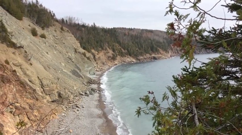
#DYK that radar satellites 🛰️ can measure centimetre motion of land? See how #NRCanSci is using this technology to monitor a slow-moving landslide in Gaspésie https://t.co/NGvkJjyJ8y #EPWeek2018
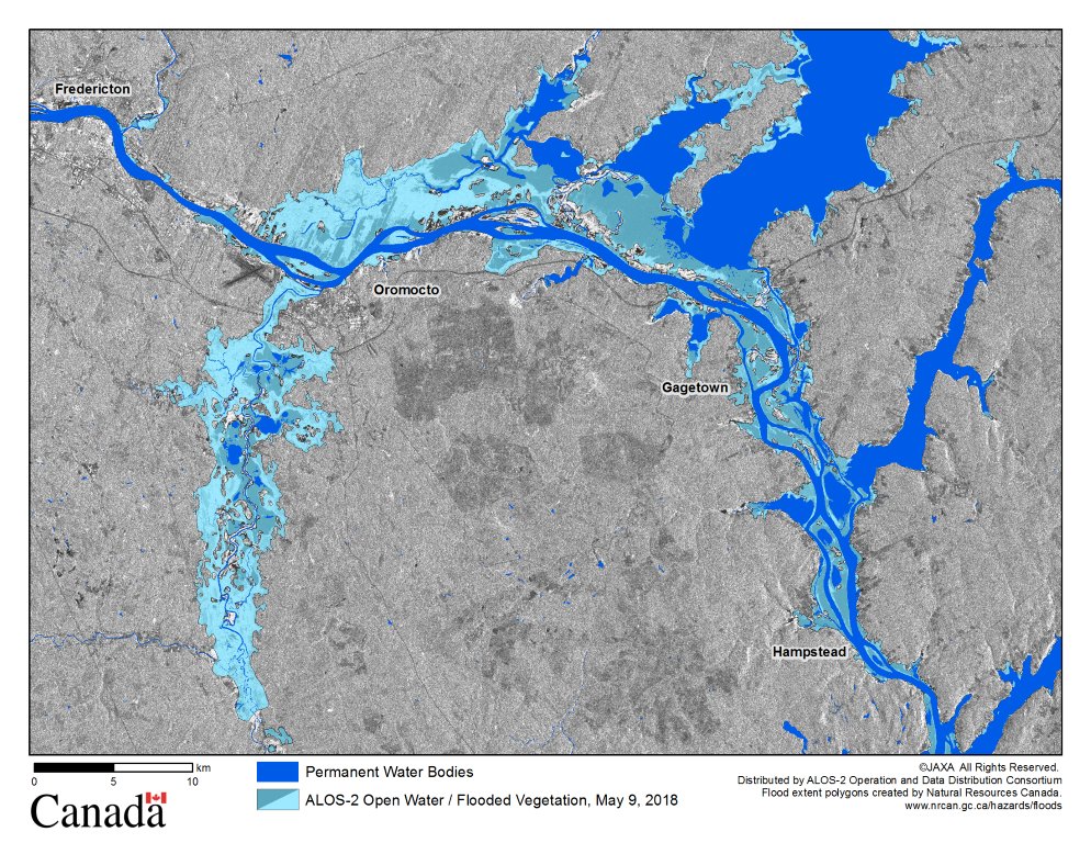
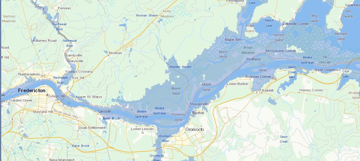
Check out #NBFlood’s new open water flood map 🗺️ produced by our Emergency Geomatics Service from ALOS-2 satellite imagery! This cool image is acquired by @csa_asc from @JAXA_en
Know the science behind the risks: see how #NRCanSci is using remote sensing to create flood maps to help emergency responders: https://t.co/RxuzCTCQ4a #EPweek2018
Found in @CanGeo Sept/Oct 17 issue : researchers mapping wildfire risk across northern Alberta. You guessed it! They needed our topographical data to produce their maps! Article by @jdvpearce#CCMEO
The #SDG’s provide us with a common language, concepts that are applicable and understandable all over the world says Kai Lintunen #FCN2017#ESPcon9@birdieviews
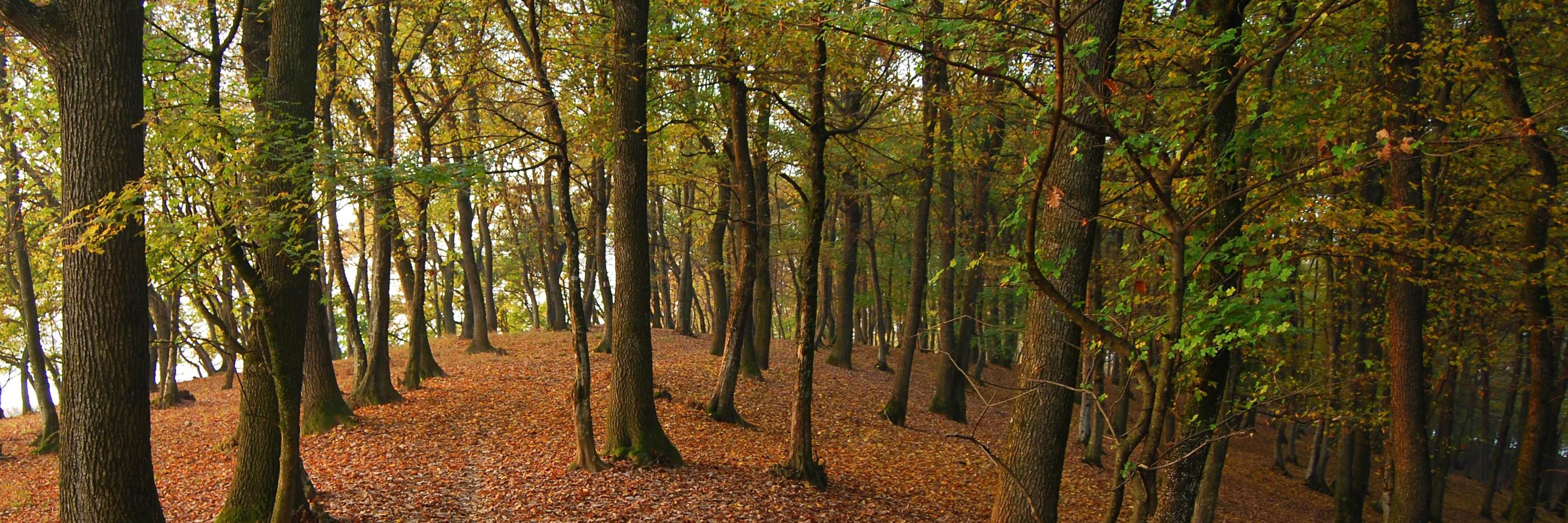
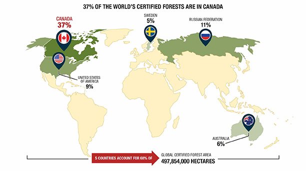
Want to know more? See @NRCan's 2017 State of Canada's Forests report for a short history of #forestry in Canada: https://t.co/3ntBkMLR9M https://t.co/ORHmu8mzdn