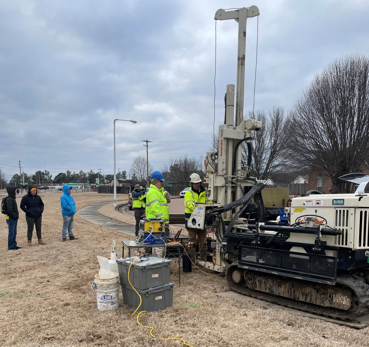
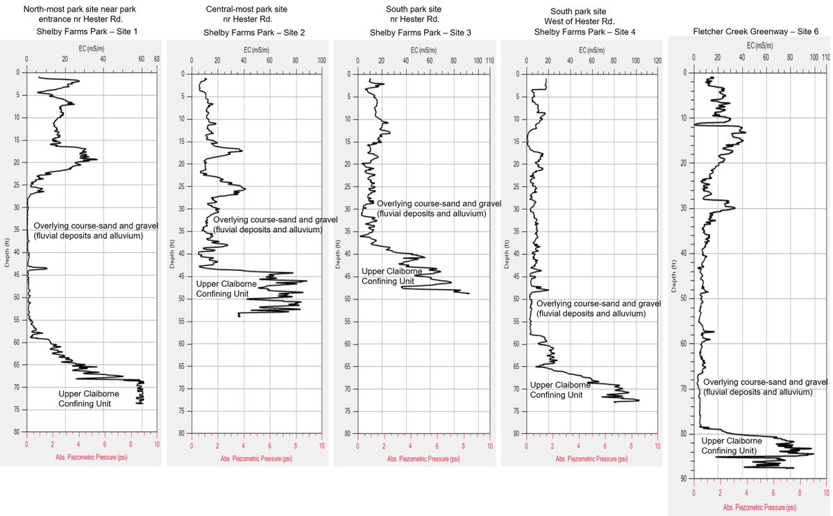
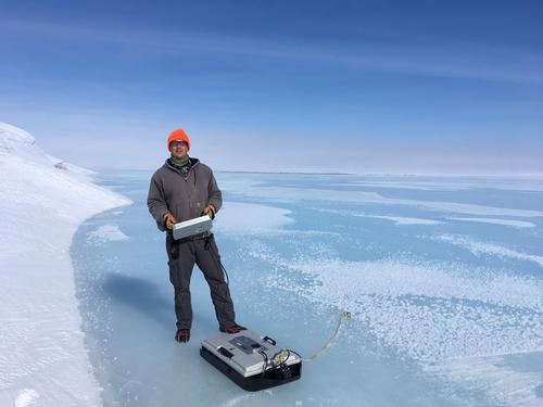
#USGSLMG Scientists Roland Tollett, Brandon Anderson, and Spencer Smith, along with professors, staff, and graduate students from @CAESER_UofM, performed geophysical logs by direct-push drilling in the Memphis area to study the shallow aquifer and recharge to the Memphis aquifer.
#USGSLMG Hydrologists Ben Miller and Amy Hourigan, with Brian Hamm from @TNEnvironment, were interviewed by @WKRN about a cooperative project helping to determine the source of groundwater used for drinking water supplies.
Watch the full interview here:
https://t.co/0LLgu9upRG
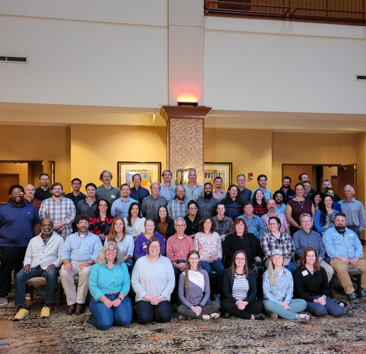
After a productive Studies Meeting, #USGSLMG personnel are heading home. Discussions included topics about enhancing research, efficient communication, coding resources, and more. The group is departing with new information, tools, and methods to apply to their work at USGS.
While in Hot Springs, AR, #USGSLMG personnel visited Hot Springs National Park. Park rangers spoke about the history and hydrology of the Hot Springs area.
#Hydrology
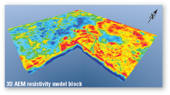
Excited to welcome the @CGGcompany Tempest airborne EM system to the US for the first time! Next phase of large regional airborne geophysics mapping for the Mississippi Alluvial Plain aquifer system starts soon #MAPWaterAvailibilityProject@USGS_LMG https://t.co/XEP3EME4mC
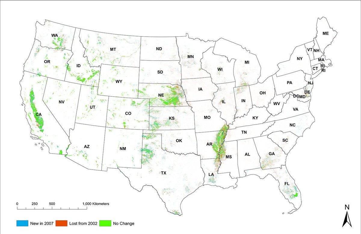
September 18 is World Water Monitoring Day.
EROS scientists use satellite data to produce a plethora of water monitoring tools, including these #MODIS-derived maps of irrigated agricultural areas in the U.S.
Learn more here:
https://t.co/Q711aN7nWf
#WorldWaterMonitoringDay
Meet Emily Read. Emily is a civil engineer and manages the Web Communications Branch at USGS Water. Her work is crucial to delivering timely hydrologic data and information to support water-resource decisions #WomenInStem#WomenInScience#WaterScience https://t.co/ge9l0RDuMI
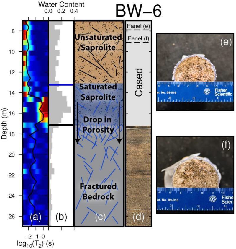
Our paper using nuclear magnetic resonance to study the Critical Zone is now available. This data set provides a unique perspective of the boundary dividing saprolite and fractured bedrock. https://t.co/1Xa22f9v2R
#USGSLMG#DataRelease hot off the press! #Groundwater withdrawal zones for #DrinkingWater from the Mississippi River Valley alluvial aquifer and Mississippi embayment #aquifers are now available online: https://t.co/TktkG1eauJ
Meet Molly Wood! Molly is a National Sediment Specialist & a Professional Engineer. She develops methods for & teaches training courses around the world on surface-water and sediment data collection. #WomenInStem#WomenInScience#WaterScience
#USGSLMG#EmployeeSpotlight! Meet Pierre Sargent, a hydrologist in our Baton Rouge, LA office. Pierre researches #WaterUse, using #Monitoring and #Modeling approaches to quantify how much water we use and how this use is changing over time. Learn more: https://t.co/GYNJIDaSXe
#USGS crews are in the field today installing advanced scientific instruments that will measure Hurricane Dorian's coastal impacts. The public can track these installations in real-time with the USGS Flood Event Viewer https://t.co/Pbu9JzPX5a. #HurricaneDorian#Dorian
View Hurricane Dorian info consolidated into one map. The #USGS Event Support Map has precipitation forecasts, elevation data, storm tracks, topographic maps, and more. https://t.co/EqYHgXBMKg
#HurricaneDorian#Dorian#Hurricane