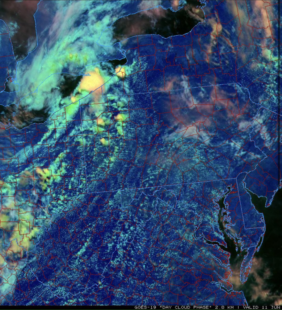
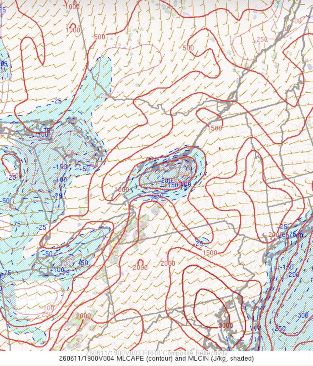
I would not be suprised to see CI across northern WV and into W MD within the next hour or two, given the healthy cumulus field colocated with high values of CAPE and moisture. If anything can break the cap this early in the day, this could do it.
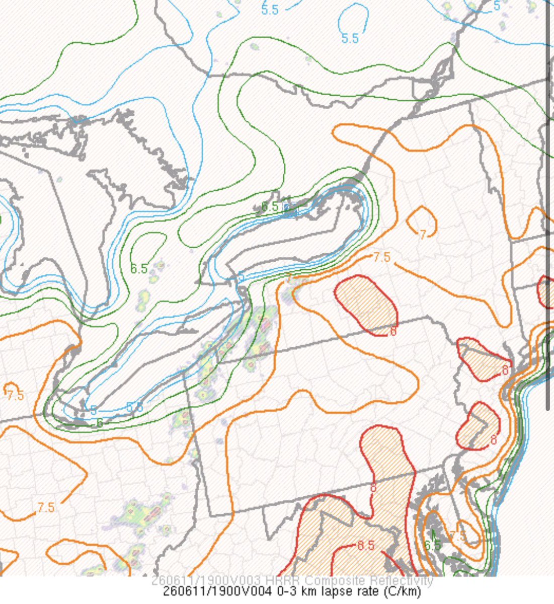
Widespread storm development amidst strong instability, moderate westerly 0-3 km shear, and steepening low-level lapse rates will support damaging wind gusts with multicell clusters. Given enough cold pool organization, a forward-propagating MCS may also be possible.
I recently graduated with my B.S. in meteorology and atmospheric science from PSU. I am now pursuing my Masters in meteorology and atmospheric science from PSU!
I just completed a new case study on the May 13, 2025 W MD flood disaster: https://t.co/YdgktF7iuO
@NWS_BaltWash