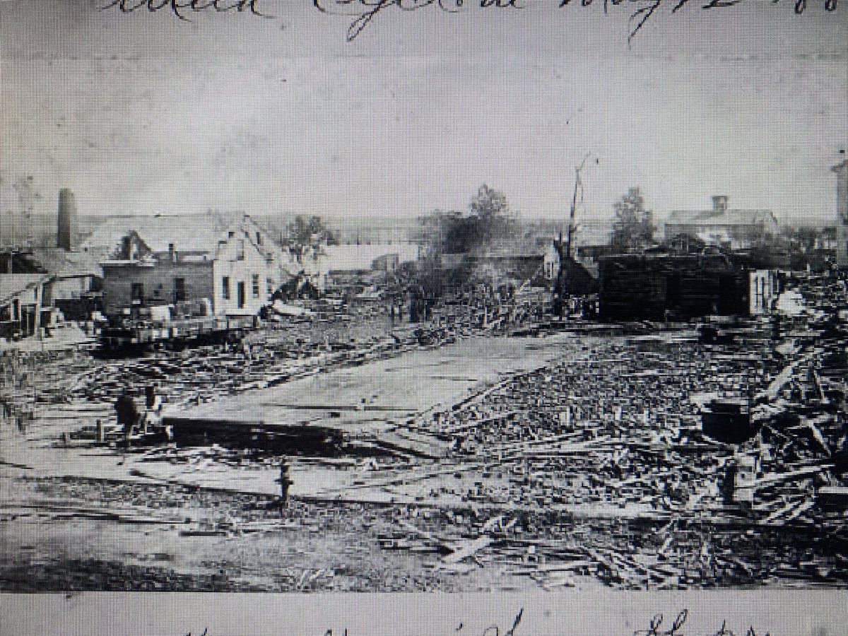
Join me July 6, 7 pm @TippeHistory in Lafayette for presentation on 10 most impactful severe weather outbreaks <1965. Peek at the first 250 pages of my book on Indiana state-wide severe weather outbreaks prior to 1905, too. @inwx @hoosierwxinwx @NWSIndianapolis
Another great example of how scud can be easily mistaken for funnel. This was not rotating, just moving scud on edge of shower. Taken southwest of Greenwood near St. Francis and Clare Church (off Morgantown) today at 4:40 pm #inwx#hoosierwx @NWSIndianapolis
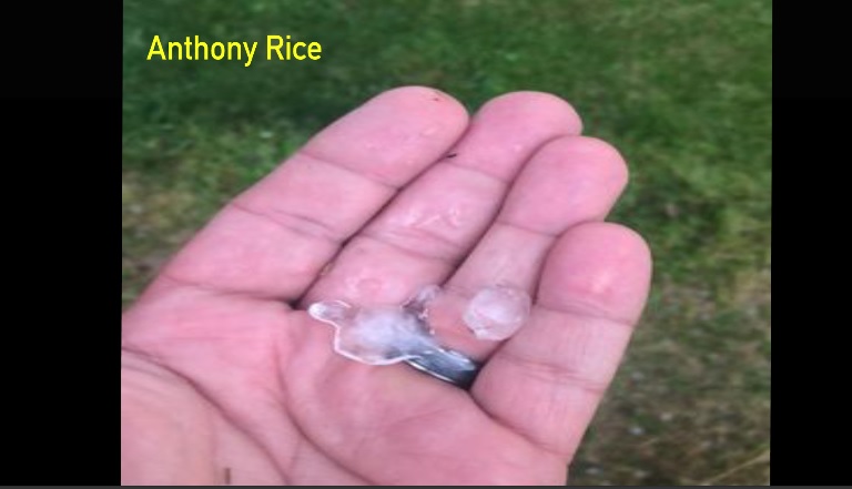
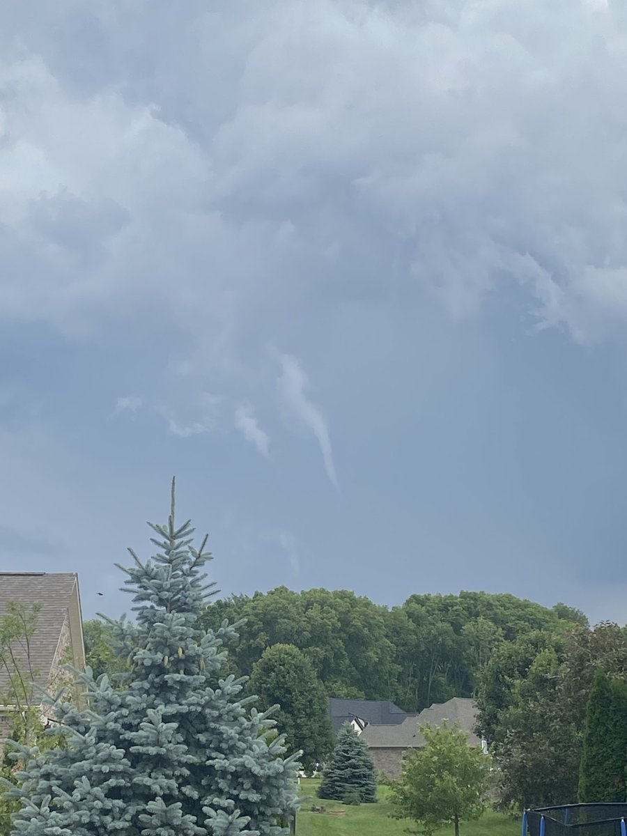
Thank you all for all of your reports & pics! Anthony Rice reported hail with some nickel to about quarter-sized with spikes all over it. Some had three lobes, others five! He also took an image of this funnel....all west of Wingate. #inwx#hoosierwx@NWSIndianapolis
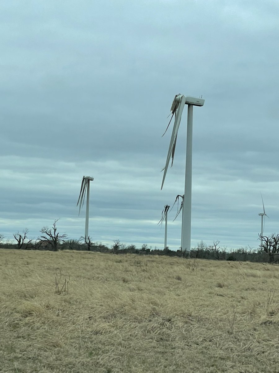
Jack County: Wind turbines shredded by a tornado. The sound they make as the remnants sway in the wind and hit each other is an unsettling, loud, explosion-like sound 😳
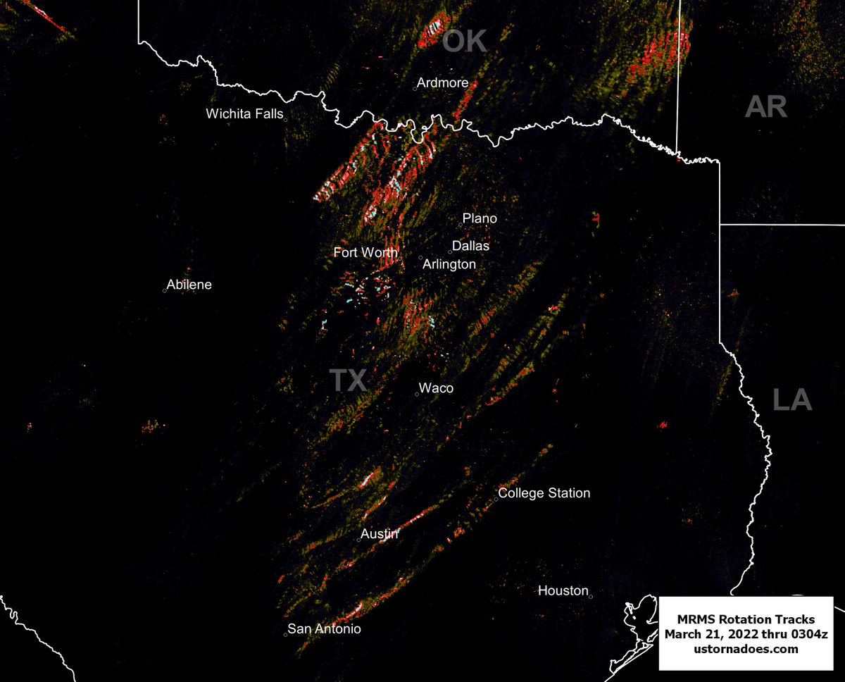
Rotation tracks from today, via MRMS.
The southern storm rotation track that starts near San Antonio and passes College Station is about 200 miles long and still going. #txwx#okwx
Heartbreaking scene from New Orleans Metro. Significant damage reported in Arabi/Lower Ninth Ward. 📸Clint, Chalmette looking towards Arabi. @weatherchannel