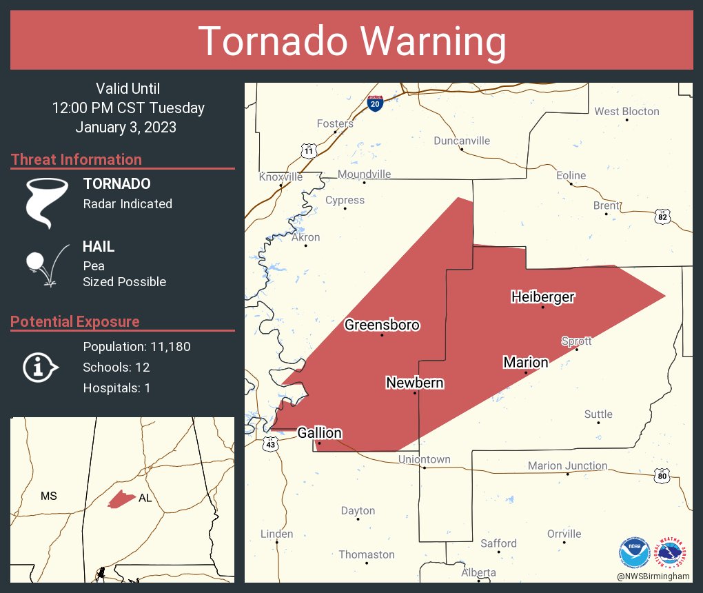
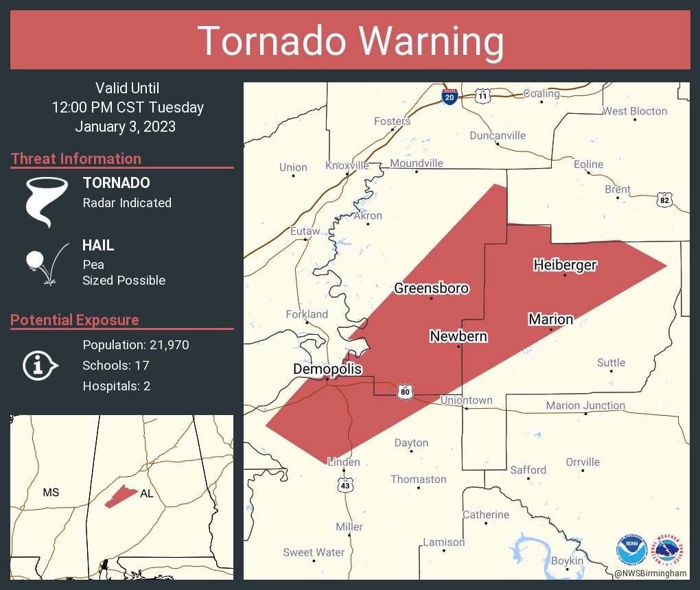
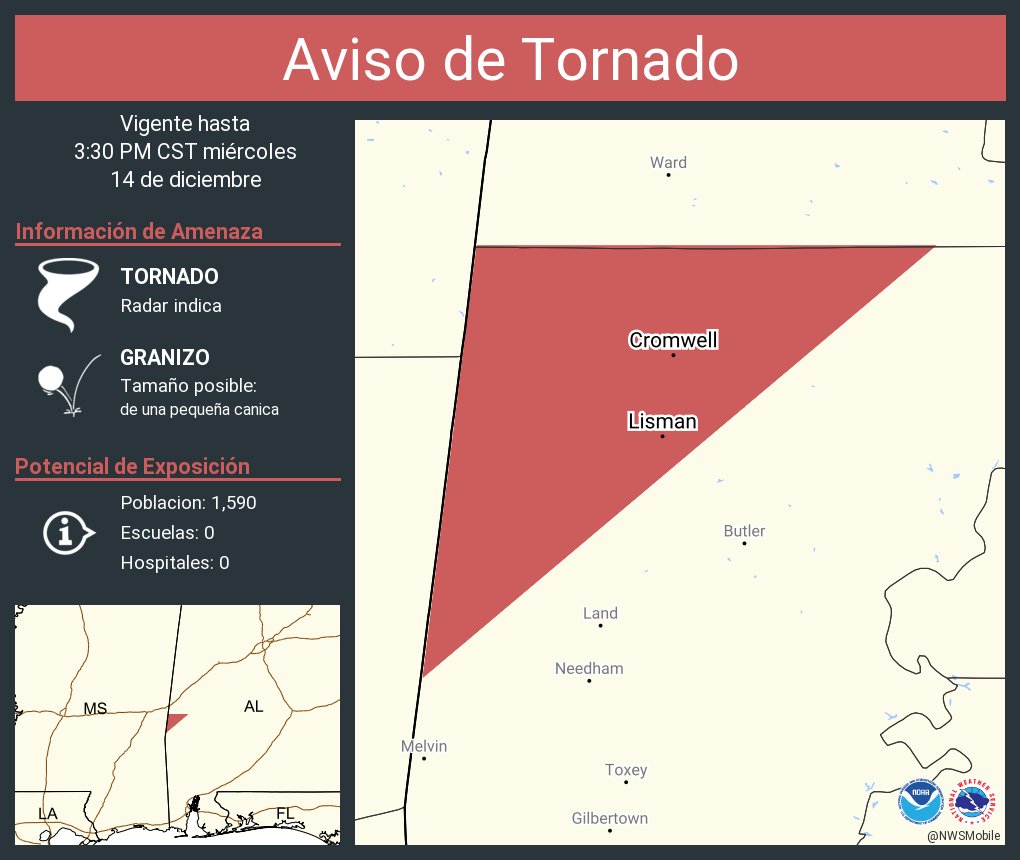
We'll be watching VERY closely off to our southwest as these storms develop and track into southwest AL. Severe storm ingredients continue to increase: #alwx
[11:35 am] A new mesoscale discussion just issued for our are by SPC. A new tornado watch will likely be needed shortly for N. AL and S.M. TN. Stay tuned for more details and updates #HUNwx
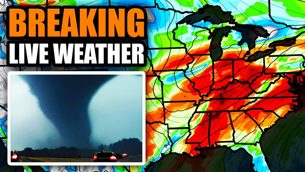
Tornado risk is elevated once again today. Conditional threat for strong tornadoes in the hatched risk area. I'll be live on YouTube starting around noon eastern.
Next week is going to be busy. SPC is already highlighting risk areas for WED & THU.
I am about to leave for a quick family trip but will have an XTRA update on YouTube this afternoon.
I'll have updates on here periodically before another big update on YT early next week.
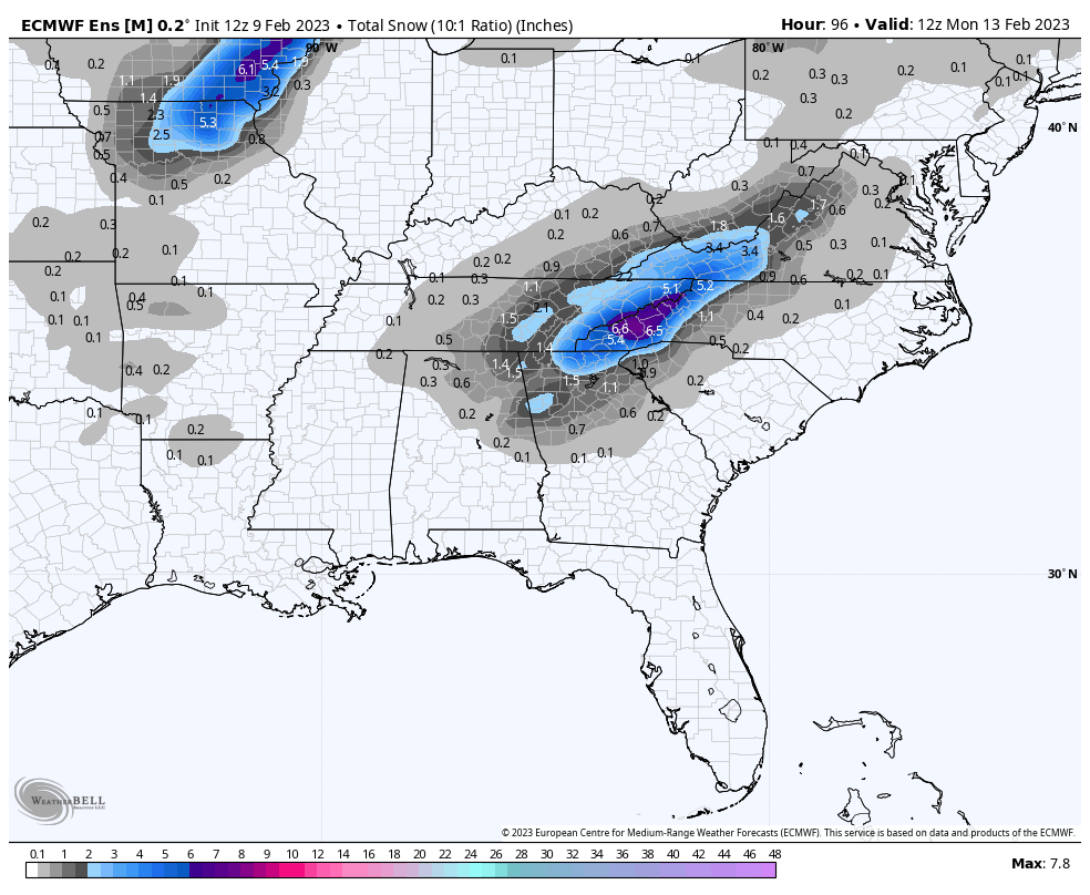
Cold core upper low, weatherman's woe. The one traveling through the Deep South this weekend might bring a few snow flakes to parts of North and East Alabama Saturday night and early Sunday. Too early to know it will bring any meaningful impact...