No doubt it's a hot one today! If you can, minimize your time outdoors, drink plenty of water, and check on those that are most vulnerable to the heat. If working outdoors, take frequent breaks in the shade and go indoors immediately if feeling ill. #heat
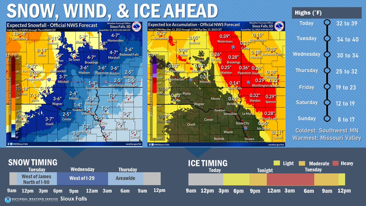
A major winter weather event will move through the region today into Thursday. Snow, wind and ice will all be threats as well as some heavier rain that could cause some localized ponding of water, especially in areas where storm drains are clogged with snow.
After the snow moves through, our wind chills Tuesday night are going to drop below zero for most of the area. We'll remain cold through Wednesday before we begin to warm up again Thursday.
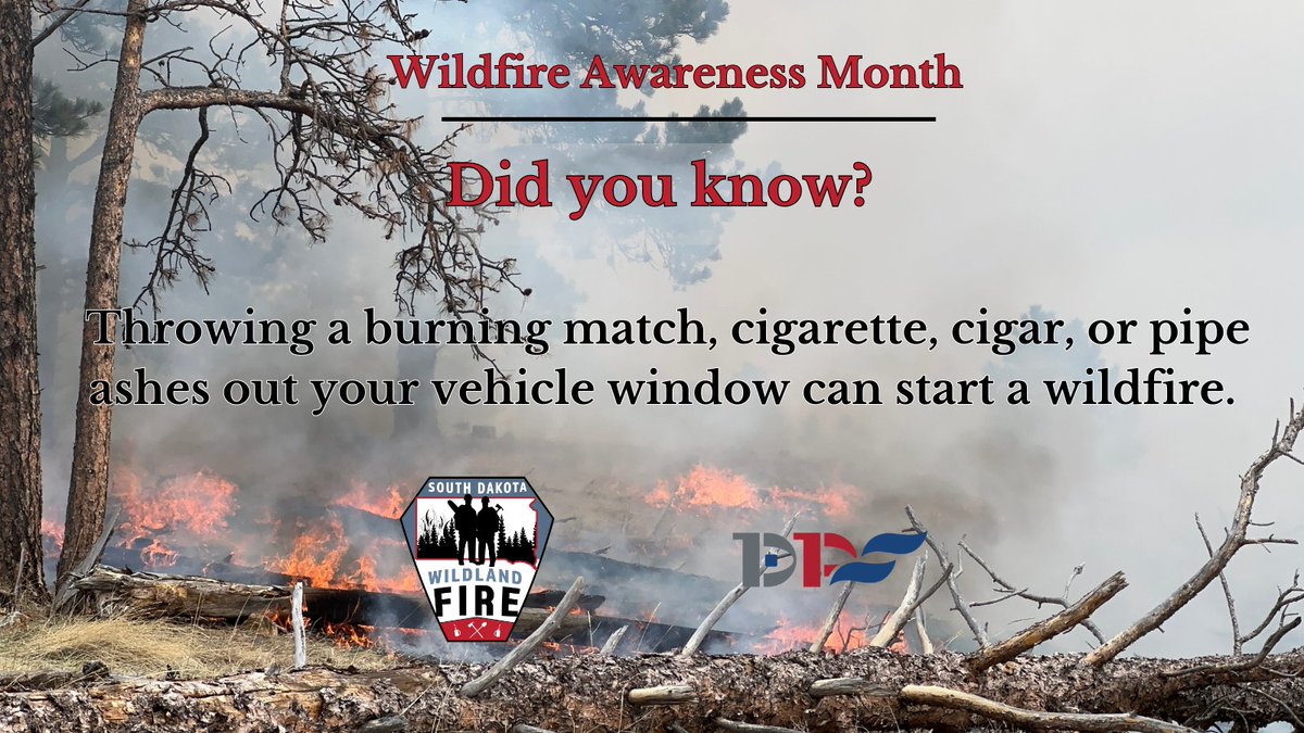
VERY HIGH #FIREDANGER for Northern Black Hills, Butte Co, Central & Southern Prairie Areas. HIGH Fire Dngr for Southern Blk Hills & Lawrence Co Prairie Area. MODERATE Fire Dngr for Central Black Hills.
Today, August 1st.
130pm UPDATE - The risk for a severe storm has nudged a bit higher for the Sioux City area for this evening (level 2 of 5). An isolated thunderstorm will be capable of large hail and damaging wind, so keep aware of skies around you. If thunder roars, get to a place of shelter.
+++ New Release +++
Yankton County Highway department will be closing 444th Ave (Walsh Town) between 305th St and 306th St. for a culvert replacement. Will begin tomorrow June 21st to June 22nd.
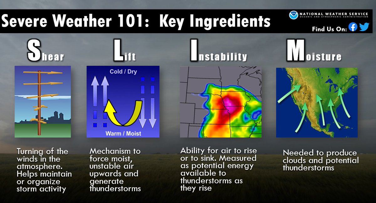
Let's talk about why we're having an increased risk of severe weather Tuesday into Wednesday.
In portions of the region, we have combination of all of the typical severe weather ingredients listed in the image: Shear, lift, Instability, and moisture.
Stay weather aware!
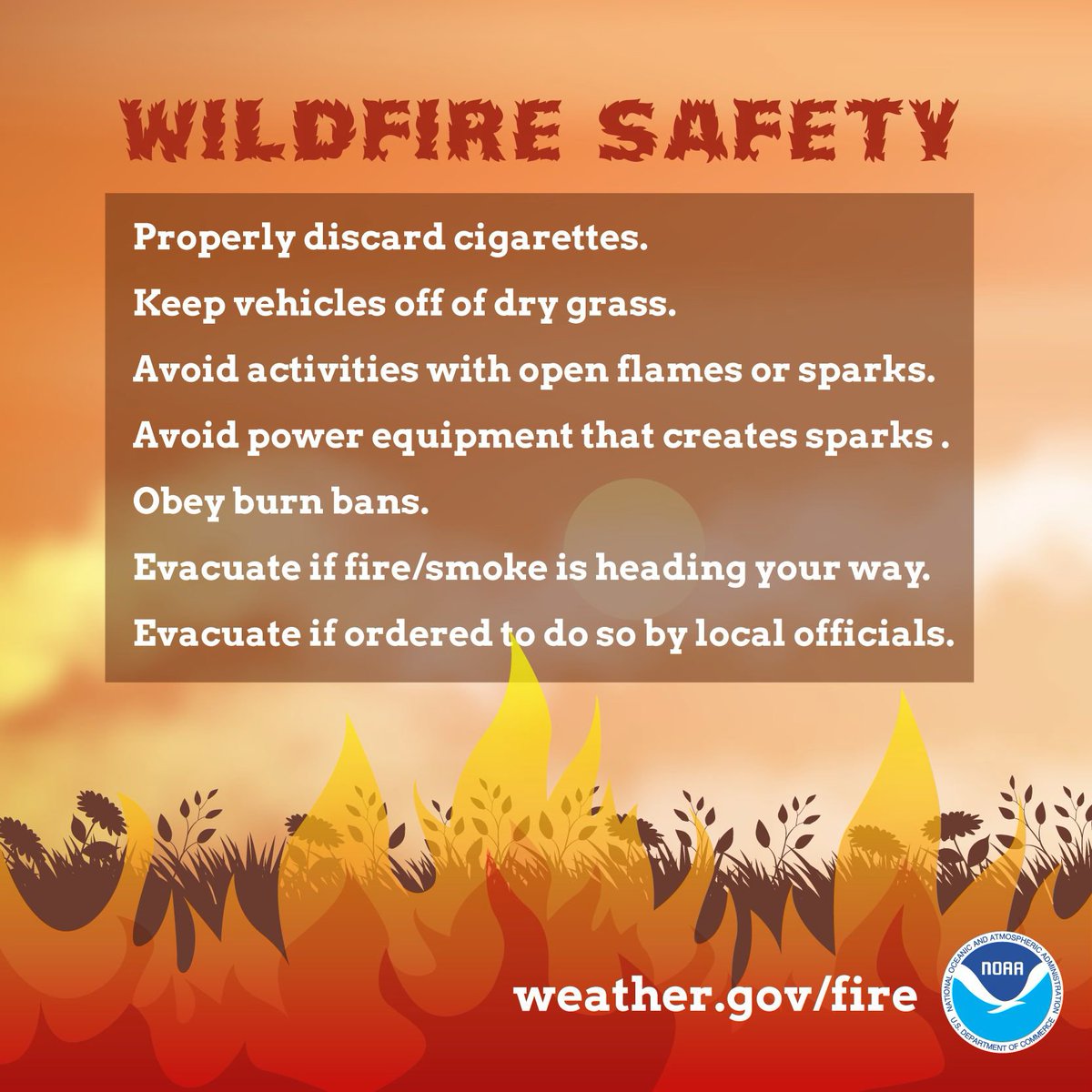
Elevated fire danger will continue through Saturday due to breezy
winds, low relative humidity, and warmer temperatures. Remember to
obey county burn bans and to avoid any activities that may use an
open flame!