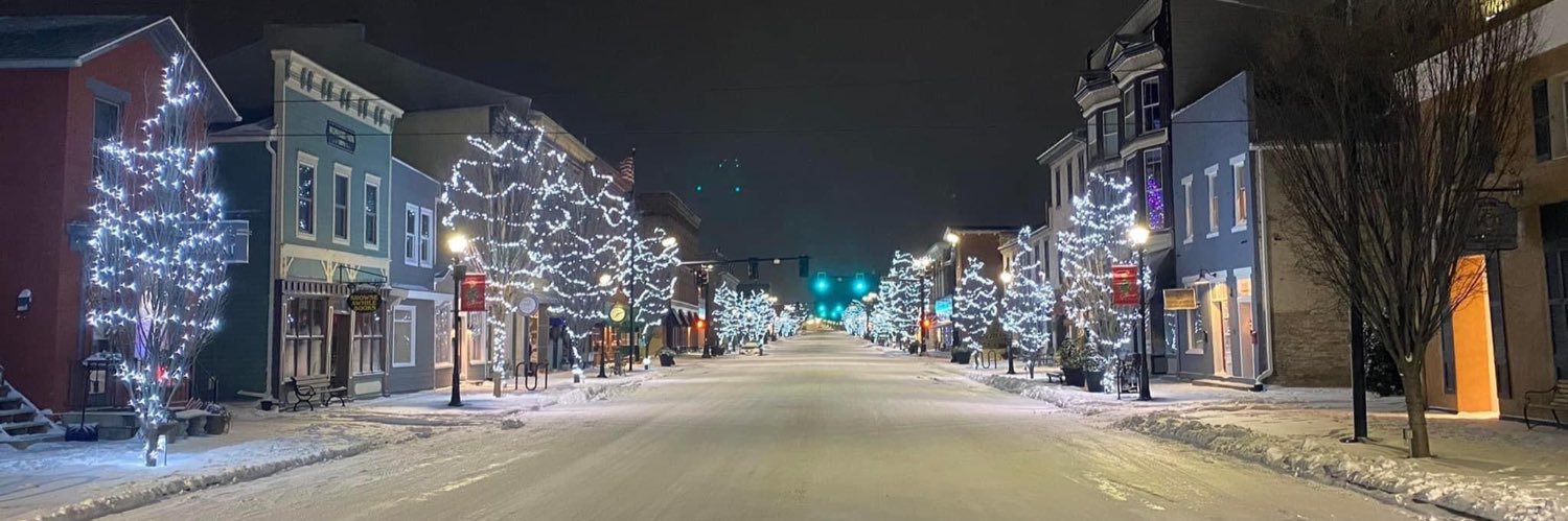
The current view from Kyle Park in Tipp City, Ohio. What are you seeing where you’re at? Throw your photos in the comments below.
#zerkleworkingforyou#northernlights
All roads in and out of Asheville, NC are still closed! It sounds like Asheville is still only accessible by air unless you head up from I26, and even then you will encounter closures before the city. This is an absolute mega disaster for western NC on the order of Hurricane Katrina
Hurricane Helene is attempting to develop a dominant inner eye wall and inner core before rapid intensification can really rip. It sure happens fast with these mesoscale systems. You blink an eye and a pin hole eye appears on satellite. This Hurricane will be moving over 30-31 deg C waters of the Loop Current. Category 3-4 at landfall Thursday evening seems very reasonable
The latest drought report was released this morning and dry conditions continue to expand across Ohio. 🌵
The good news is some much needed rain and cooler temperatures are on the way! 🌧️
#zerkleworkingforyou
🚫SCHOOL CLOSINGS/EARLY RELEASES🚫
🚫 Horizon Science Academy - Elementary
🚫 Horizon Science Academy - High School
🚫 Summit Academy Transitional H.S.
⚠️ Celina City Schools
⚠️ Tipp City Schools - (Broadway Elementary/L.T. Ball Intermediate)
⚠️ Troy City Schools
☀️HEAT ADVISORY☀️
WHAT: Heat index values up to 104 expected.
WHERE: Portions of east central and southeast Indiana, northeast and northern Kentucky, and central, south central, southwest, and west central Ohio.
WHEN: From noon Tuesday to 8 PM EDT Wednesday.
#zerkleworkingforyou
[4:10 PM] Now that most of the storms with the initial round(s) have cleared the local area, focus is now shifting to our west across parts of IN where additional storm redevelopment is expected through the next 2-3 hours. This activity will spread E into the local area later.
If you're heading to the beach this summer, it's important to be aware of the dangers of rip currents.
Here's what you need to know about rip currents and how to stay safe: https://t.co/7M0Nu5nP3C
Dangerous rip currents are forecast to persist Sunday along much of the Atlantic and Gulf coasts, where at least eight people have drowned since Thursday after being dragged out to sea by the powerful currents, officials said. https://t.co/JryehBfL71
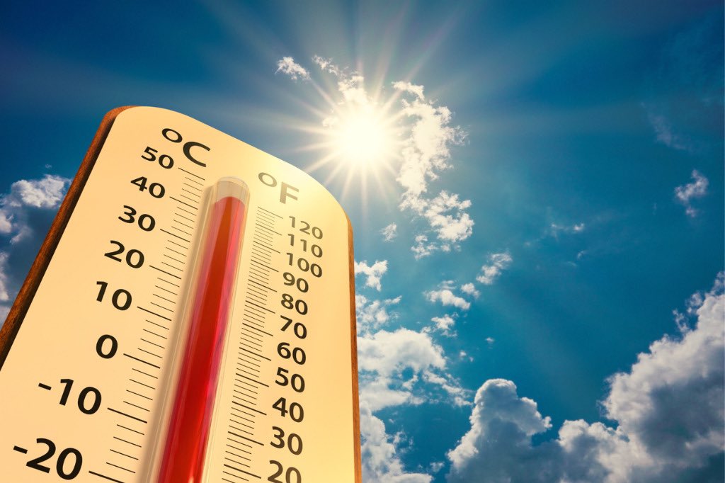
Expect Heat Index Values to reach 100 today. A chance of rain may bring relief at times, but otherwise the afternoon and early evening are going to be pretty miserable. 🥵
🎨: US National Weather Service
#zerkleworkingforyou☀️
An Excessive Heat Watch has been issued for our area beginning Monday afternoon and lasting through Friday evening. Heat index values will be over 100 at times and temperatures won’t dip enough to provide much relief overnight.
🎨: National Weather Service
#zerkleworkingforyou
It’ll be a little muggy, but other than that it’s shaping up to be a great day for prom. Have an awesome night Red Devils! 🕺💃
#zerkleworkingforyou#throwback#prom