Very excited to share I've had my first journal paper published (with @CaRobson and @AlistairCFord) on identifiying #LTNs using #opendata.
We show our methods to locate where existing LTNs are across cities using measureable features of every neighbourhood (cont.)
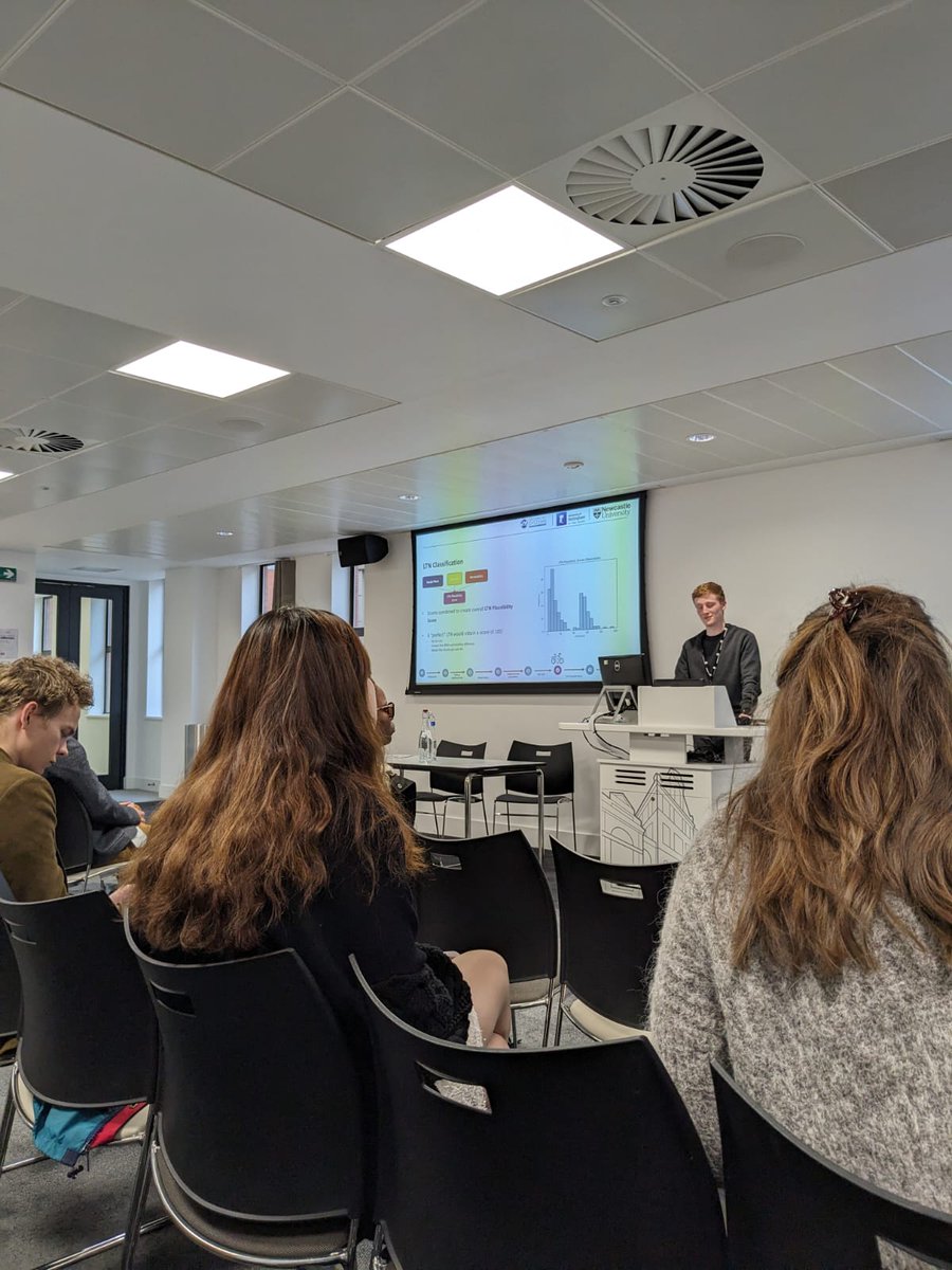
Latest published research on low traffic neighbourhoods from Cohort 3 CDT student Chris Larkin and supervisors. Nice work, Chris!
https://t.co/loU1wDePjq
@CaRobson@AlistairCFord This allows us to identify where already is, where are close to becoming and where is currently lacking in low traffic zones. This can be seen through webmaps which also highlight the features which make a given neighbourhood more or less "LTN like"
Latest published research on low traffic neighbourhoods from Cohort 3 CDT student Chris Larkin and supervisors. Nice work, Chris!
https://t.co/loU1wDePjq
Had the most wonderful time working on all things cycle networks and superblocks related with the fabulous people at NERDS, ITU. Very excited to share the outputs of our collaboration in the near future!
@David_AlvCas@GeospatialCDT The talk by @_Chris_Larkin on his PhD work to develop an open-source approach to mapping LTNs was well-received, with some rich disucssions and suggestions for improvement. Here's an example of his outputs for Zurich if you'd like to explore!
https://t.co/SxJzHkT2wm
3/n
@AlistairCFord presenting @David_AlvCas's agent-based model for Tyne and Wear, showing how changes in policy impact cycling levels 🚲📈
Fascinating session on cycle modelling and simulation this morning at #CRBAM 🚴♀️👨💻
Excited to be at @ETH for the 8th Cycling Research Board Annual Meeting. Looking forward to hearing from world-leading cycle researchers (and giving a talk myself, although world-leading qualities may or may not be present) #CRBAM2024
@AlistairCFord@badparkingncle not as bad as your example, but found this exquisitely parked "car" on Heaton Road on Saturday. Every other driver seemed to understand how car-parking spaces work!
@AlistairCFord No, but they were too muddy to wear around the YHA. Authentic Northumbrian mud in abundance up there at the moment. @cpeiretgarcia was in the same boat but managed to hide behind people (and gain a fair few centimetres in the process!)
After a fantastic week in the field, we're back on campus and about to hear from our students. Thanks to all of our colleagues for contributing to a fantastic week @VindolandaTrust@nationaltrust@LeicaGeo_UKI
We're starting our session with a keynote talk from Fabio on GeoAI
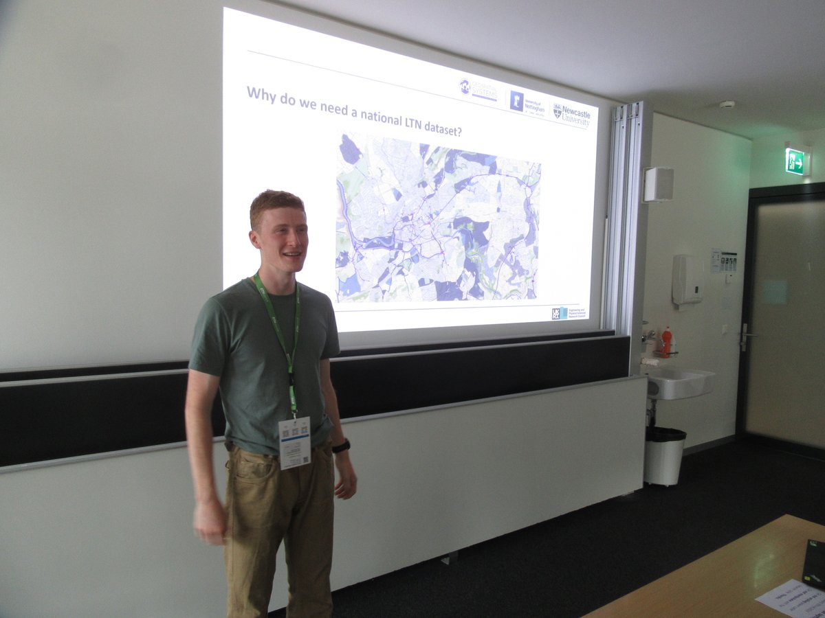
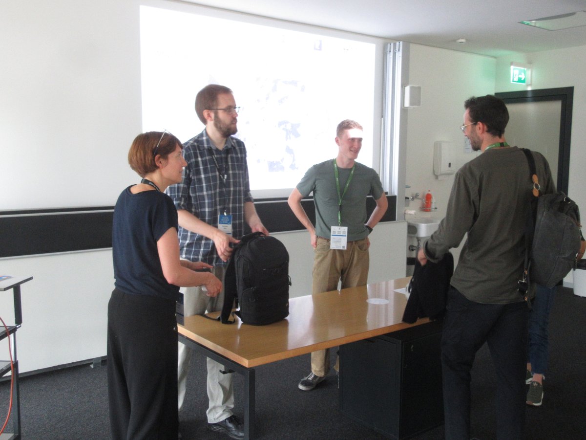
Thanks to everyone who came along to my #gisruk2024 talk yesterday 😊 had some great discussions and feedback afterwards 👍 You can find more info on my GitHub page about the project and play around with some examples:
🧑💻 https://t.co/52lA7DRVew
🗺️
https://t.co/UiSaWuf8lY
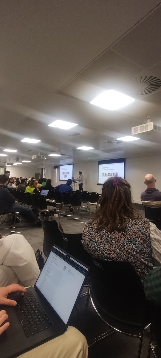
Kicking off GISRUK 2024 at Leeds! Excited for the rest of the week up coming. I'll be presenting my work on #LTNs in the first session on Greener Neighbourhoods later today #gisruk2024
@Microlambert@AlistairCFord@felt And on top of those, I ended up making my own "potentially cyclable" tag. It's essentially for streets which can't be driven on but have cycle parking (thus we assume that we must be able to cycle to the bike racks). Works well for town centres.
@Microlambert@AlistairCFord@felt (cont). generally, these are the tags which give the best mapping for myself: highway == 'cycleway', highway == 'bridleway', cycleway == 'crossing', cycleway == 'track', cycleway == 'separate', cycleway == ' oppesite_track', bicycle == 'yes' & highway == 'pedestrain' ...