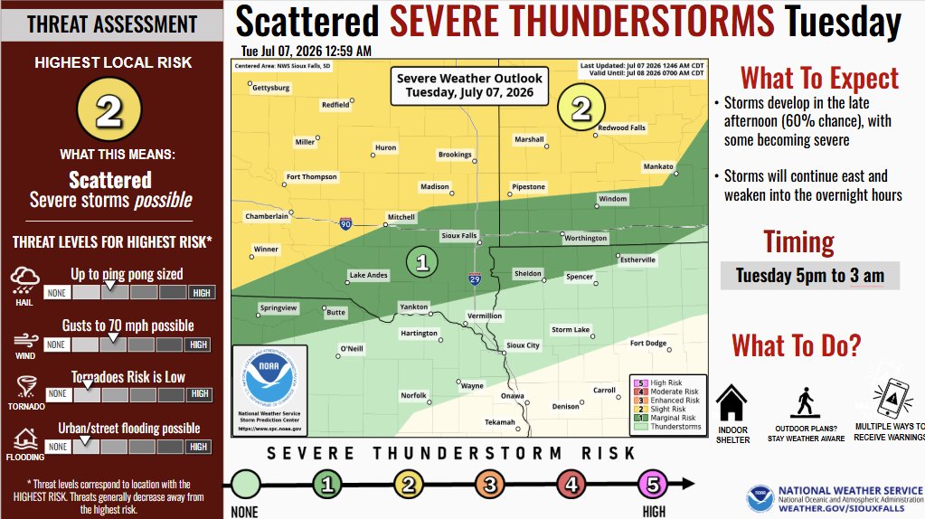
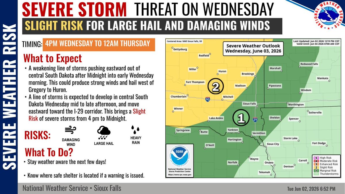
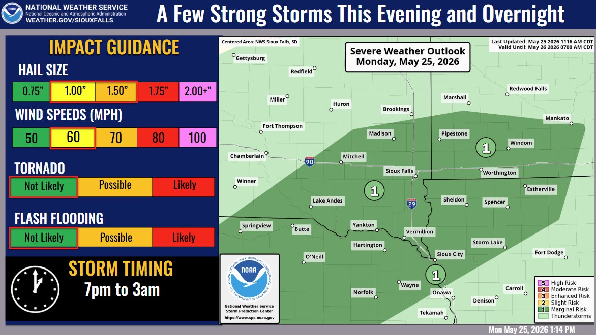
We'll continue to have severe thunderstorm risks through Wednesday.
TODAY: Be aware for development after 5pm, especially along and north of Highway 14 and into central/northcentral South Dakota.
Wednesday: Isolate storm development could take place by mid-afternoon.
6:30 AM Mon 07/06: Heat will continue to be the main story for most today, while we also start to bring a few isolated t-storms back into the picture. Only a few will see a storm today, but storm chances, coverage, and intensity increase significantly Tue afternoon. #wywx#sdwx
Keep an eye on the radar if you have outdoor plans this evening!
A Marginal Risk (level 1 of 5) is in place for eastern NE/western IA later today.
Main Threat: Wind gusts up to 65 mph (potential for downed limbs/power outages).
Good News: Most locations will remain dry!
Out for afternoon 4th of July activities? Keep an eye to the sky as a weak boundary slipping northward will focus potential for a few brief funnel clouds through early afternoon. While not expected to touch down, if you feel your safety is threatened, move to sturdy shelter.
Looking ahead to the Fourth of July tomorrow? Seasonal temps with light winds expected. Isolated to scattered showers will be around during the day for some, with the more scattered chances during the evening into the night. Severe weather is not expected.
The threat for severe weather is increasing for for late this afternoon and evening, with damaging winds being the primary threat. However, large hail, flooding, and tornadoes are also possible. Have plans for shelter if you'll be outdoors.
There is potential for two more rounds of severe weather today—one in the early afternoon and another during the evening and overnight. Large hail and damaging winds will be the main threats.
Scattered strong to severe thunderstorms are possible Monday evening as storms develop near and east of I-29. Have a plan to shelter indoors if storms threaten!
The heat continues today with an increased risk for heat exhaustion and heat stroke. Make sure you have ways to cool off and drink plenty of water. Chance of strong to severe storms tonight with primary hazards being large hail and damaging winds.
⚠️Extreme Heat Warning in Northwest Iowa Today⚠️
As temperatures climb into the 90s, high humidity levels will push heat indices above 100 degrees in some areas this afternoon. Those sensitive to heat or spending time outdoors should be sure to take breaks and stay hydrated.
With a shift towards building heat and humidity from the weekend into next week, this is your reminder to stay hydrated and to limit any strenuous activity! Check out the graphic below for more information.
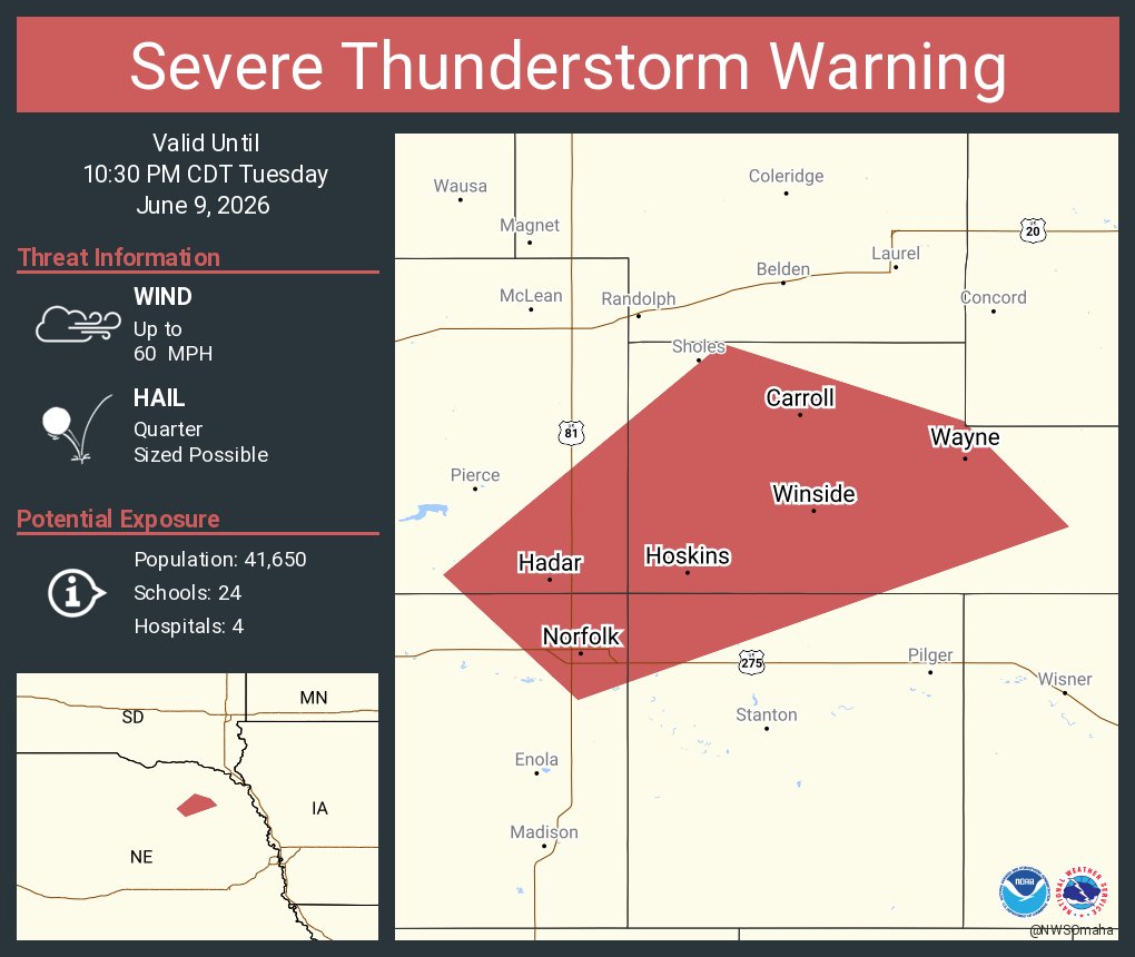
Strong to severe storms are on track to impact the area today, with the main threats being flooding and damaging winds, though hail and a brief tornado cannot be ruled out.
If you have outdoor plans, make sure you keep an eye on the weather and have ways to receive warnings.
A few severe storms could bring large hail, damaging winds, and localized heavy rainfall Monday and Tuesday afternoon/evening. Be weather aware and have multiple ways to receive warnings if you have outdoor plans this week!
While there is an isolated threat for severe storms near a Gregory to Huron line later this evening through overnight, the better chances will come Wednesday afternoon and evening.
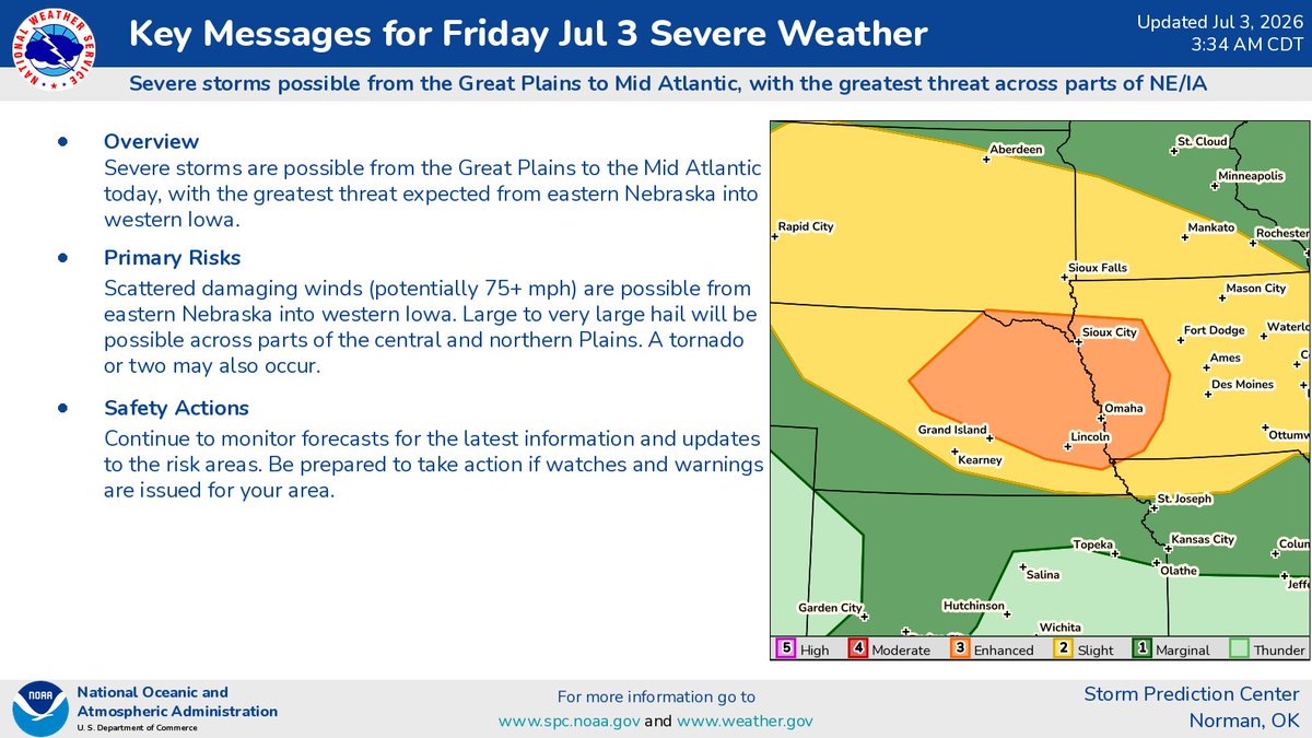
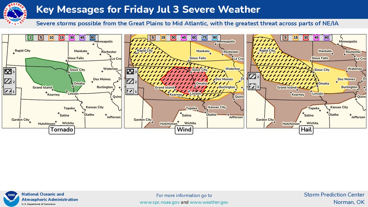
Severe storm chances continue through Friday. Storms may reach northeast NE this evening/overnight, with more widely scattered storms possible Thursday & Friday. Damaging winds and hail are the main threats, with Friday carrying a potential large hail & brief tornado risk.
Planning for the weekend? Shower and storm chances continue, with some strong to severe storms possible. Wind gusts to 60 mph and hail to half dollar size are the main threats. Have multiple ways to receive warnings. Stay weather aware - especially if you have outdoor plans!