Here are the Key Messages for extremely dangerous Hurricane #Laura for Thu pm. An unsurvivable storm surge with large and destructive waves is coming soon for Sea Rim State Park TX to Intracoastal City, LA, including Calcasieu and Sabine Lakes & could penetrate 40 miles inland.
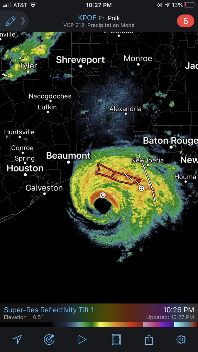
Extremely dangerous Hurricane #Laura is just a few hours away from landfall. Unsurvivable storm surge, damaging winds, dangerous flooding, and tornadoes are all possible tonight as this storm moves onshore.
We're LIVE all night in the field.
Hurricane #Laura Advisory 29: Extremely Dangerous Hurricane Laura Closing in On the Northwest Gulf Coast. Catastrophic Storm Surge, Extreme Winds, and Flash Flooding Expected Tonight and Early Thursday. https://t.co/VqHn0u1vgc
OVER THE GULF OF MEXICO - Inside the eye of then CAT3 Hurricane #Laura seen from the flight station of @NOAA WP-3D Orion #NOAA42 "Kermit" during the Aug. 26th morning mission. Credit: Lt. Rannenberg NOAA Corps. Follow @NHC_Atlantic for latest forecast and advisories. #FlyNOAA
The area to watch currently located over the northwestern Caribbean Sea is now being given a 60% chance of tropical development within the next 5 days. The Gulf Coast needs to monitor the progress of this storm.