CV4EO @ @wacv_official deadline extended to Oct 25, in light of delay of Round 2 decisions from main conference. Working on #AI & computer vision for #EarthObservation? Consider submitting full research papers, short/vision ones, or noteworthy preexisting works as Nectar track
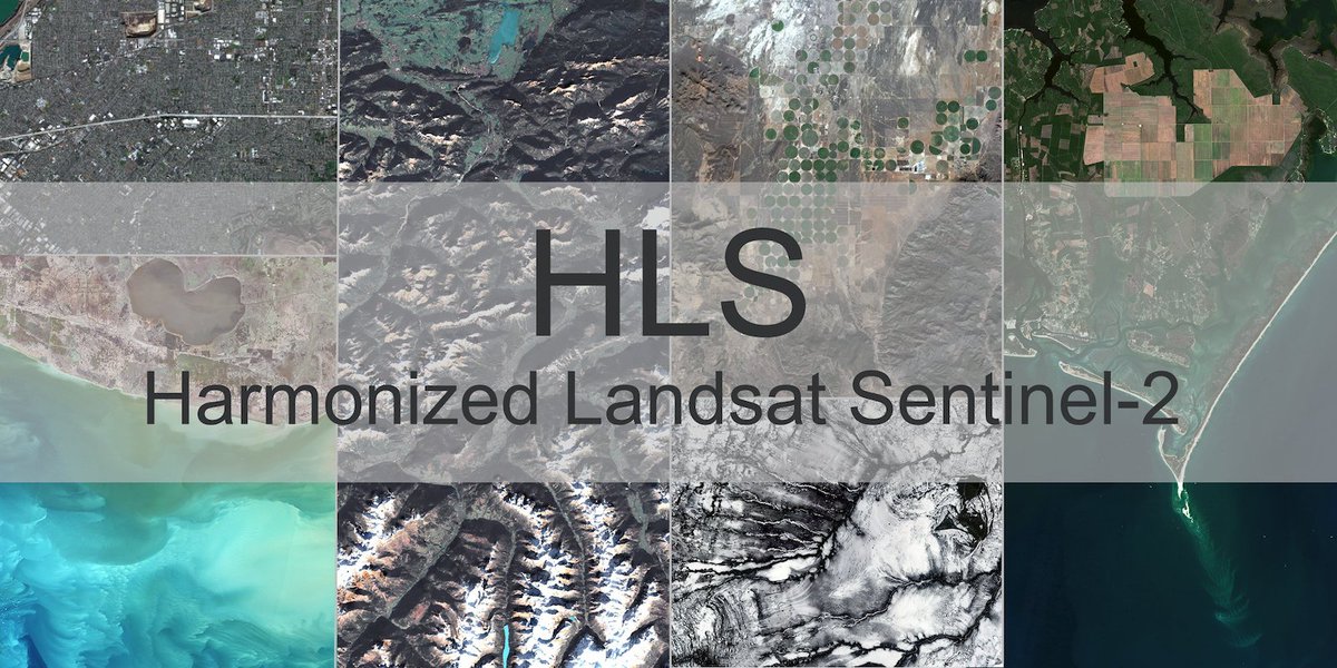
Historical processing of the complete Harmonized #Landsat and #Sentinel-2 (HLS) data and imagery archive is complete. Users can now access continuous HLS data and imagery from 2013 to present.
Read more: https://t.co/E9Bjyg2h2D
🗓 15 days to go for the #InGARSS2023#Research Track paper submission deadline!
We are also happy to receive papers that were accepted at @igarss but had to be withdrawn owing to travel visa issues. Visit https://t.co/PAMSEtu3QD for more details!
@IIITB_official@IEEE_GRSS
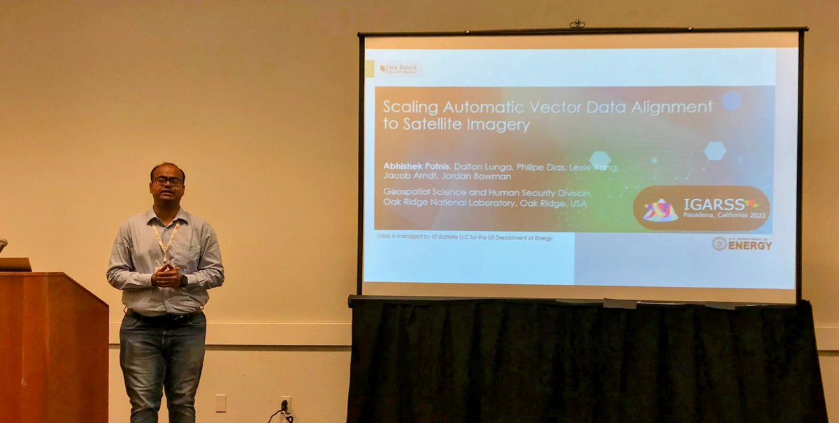
My colleagues and I will be presenting our research on #GeoAI at @IEEE_GRSS@igarss 2023! If you are attending #IGARSS2023, we invite you to our presentations! Looking forward to connecting with fellow researchers at IGARSS! 😊
Catch some expert insights about research happening at our @geosysiot by our group incharge Dr. Surya Durbha. Amazing initiative by #NASA#IMPACT Team (https://t.co/4tppyvR8Zz) for recognizing the pressing need and organizing the Tech Talks.
More details: https://t.co/UYoYnIh69y
Meet Frontier — the world's first #exascale computer!
At 1.1 exaflops, Frontier is also the world's fastest #supercomputer and can solve more than a quintillion calculations per second. 🤯
#DiscoverFrontier ➡️ https://t.co/Yk0HA7PzmK
Scientists from @IITBombay have proposed a novel computational method for compression and reconstruction of information about land features collected using light pulses
https://t.co/kuTnDIbCS4
@Geosysiot, @shinde_rajat@abhishek_potnis
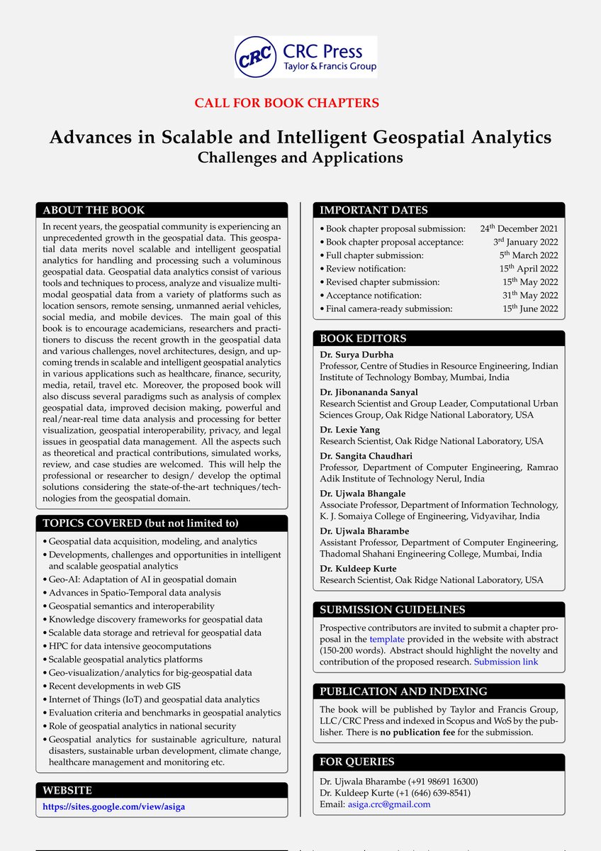
📢Extended deadline chapter proposal submission: 24th December 2021.
Call for book chapters: "Advances in Scalable and Intelligent Geospatial Analytics: Challenges and Applications”
Book chapter call: https://t.co/ykrChtS7PA
#geoai#geospatial#AI#GIS#remotesensing#CFP
I am elated to share that our recent work on 3D #reconstruction and 3D #lidar point cloud #classification has published in the @isprs Journal of Photogrammetry and Remote Sensing (IF: 8.97). Brief overview follows. Link: https://t.co/5SCRasLCMR
@ELSenviron @abhishek_potnis
Did you miss EV21? Then we have good news for you! You can now watch the complete workshop at your convenience! Visit https://t.co/964DrUYZqk or https://t.co/2W8AGEJmsB
If you are attending #IGARSS2021, then please join us in the session Thermal and Non-optical monitoring of #urban areas. 😀
We will discuss about #DeepLearning
Based #questionanswering using 3D #lidar point clouds
Details- https://t.co/K9c4CvghXu
⏳- Fri, 16th Jul, 11:25 UTC
@mkoubarakis I would recommend 2 papers that have inspired me and have demonstrated the potential of leveraging Linked Data for Earth Observation - (1) Spatial Image Information Mining Framework: https://t.co/WmSG5Zt1Os and (2) Wildfire Monitoring Service at NOA: https://t.co/4sHlxIP6EC
Amazon researchers have developed a system, called DataTuner, that can convert structured data — such as tables and knowledge graphs — into fluent and semantically faithful text. DataTuner can be downloaded free from @github. #AmazonScience https://t.co/XIvJVeTqSg