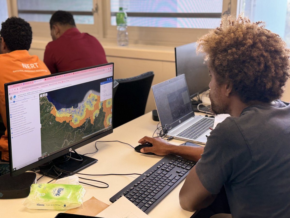
Thrilled to support the Ministry of Environment, Climate Change, Disaster Management & Meteorology (#MECDM) in launching a new landing page 🚀 An all-in-one platform giving #SolomonIslands easy access to climate & disaster risk apps.
➡️Discover it here: https://t.co/jK9l0fmhQf
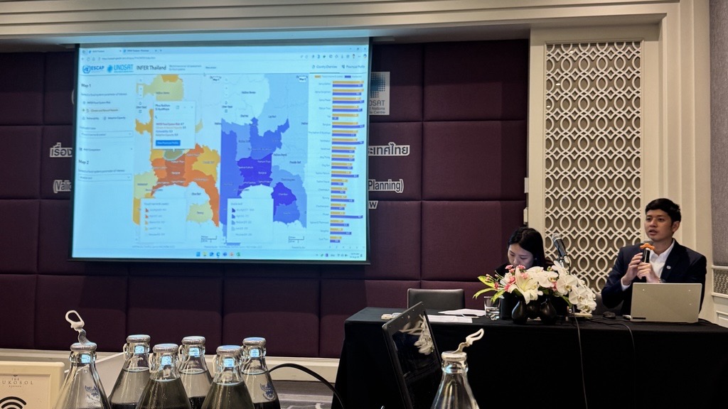
Agriculture and food systems are central to Thailand’s economy and resilience. Together with @UNESCAP, the Ministry of Agriculture and partners, we validated the Subnational INFER Tool to reflect local realities and guide risk-informed policies.
➡️https://t.co/nAnFJZR5rT
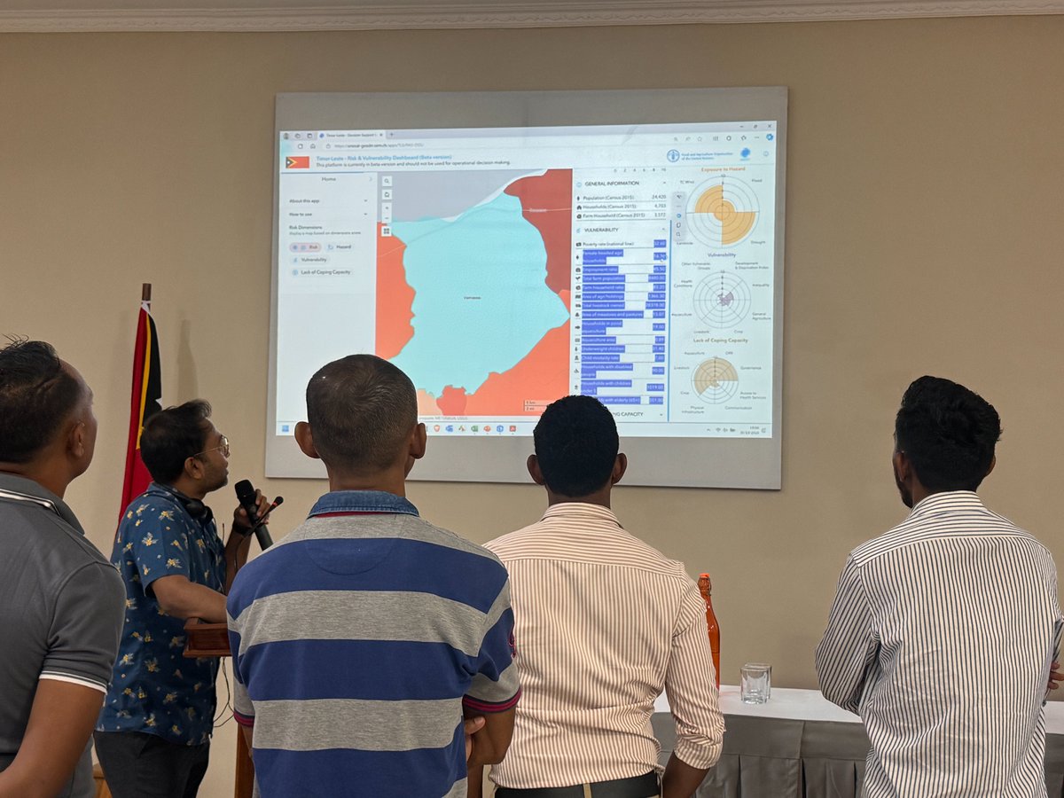
Together with stakeholders in Lao PDR & Timor-Leste, we dove deep into the functionalities of the Risk & Vulnerability Mapping Dashboard, developed in partnership with @FAOAsiaPacific!
With their insights, we aim to make the tool more robust to support resilient agriculture.
Growing up in a coastal village in Papua New Guinea, Emma Oliver 🇵🇬 cherished the beautiful nature surrounding her. Her first-hand experience of the devastating impact of ocean pollution motivated her to address the climate crisis.
Through her organisation, ENB Sea Keepers, Emma is fighting back by restoring reefs, training the next generation of conservationists, and reviving marine life. Every action counts! 🌎
#OYW24
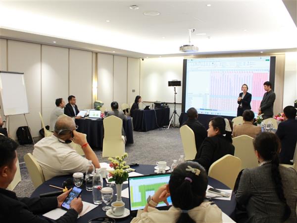
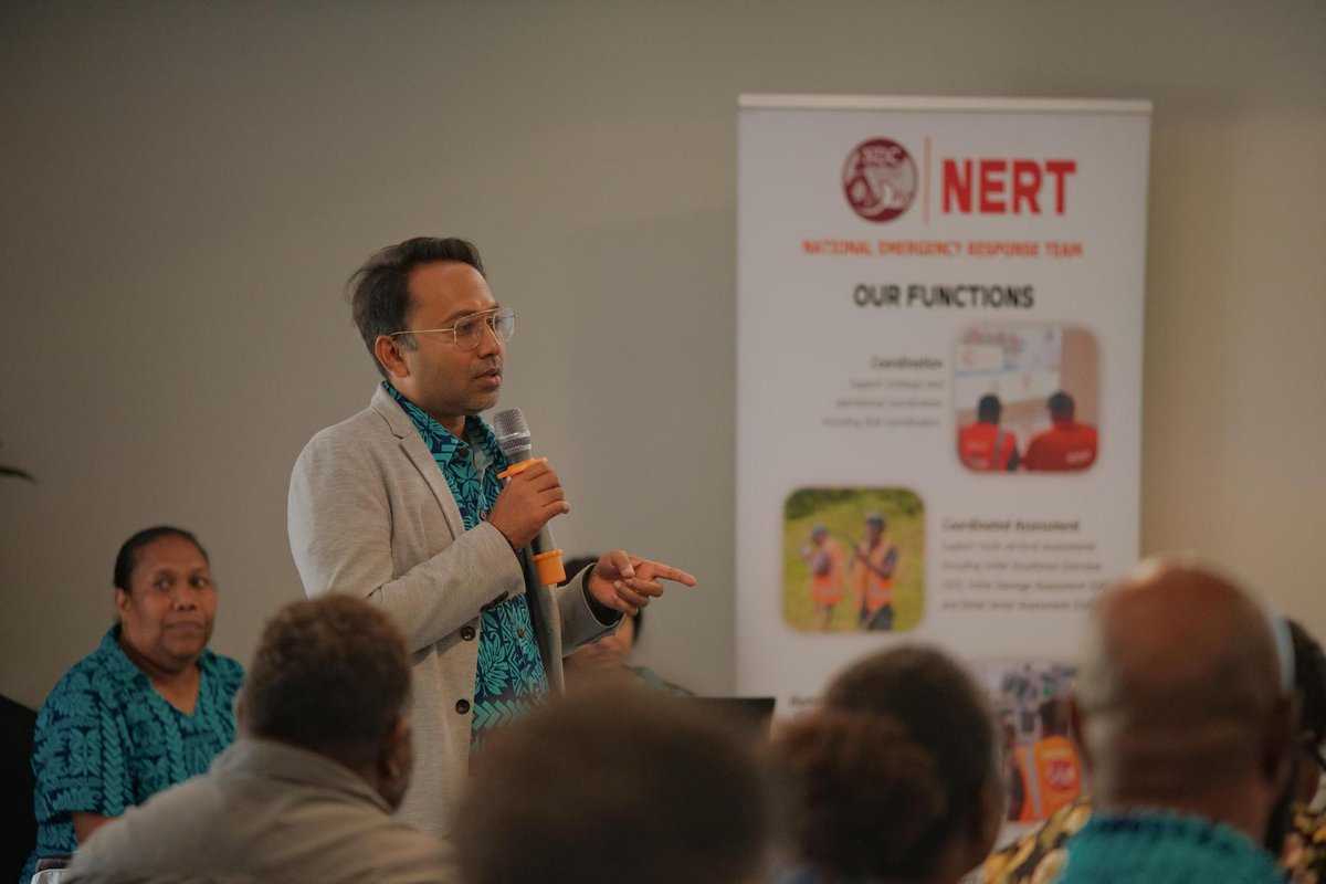
Exciting day at UNOSAT's Geospatial Insights for Climate Resilience event! We launched 3 innovative apps to support government ministries in the fight against climate change. Tagio Tumas for the amazing turnout and collaborative spirit from our stakeholders! 🌍🚀 #UNOSAT
We are overjoyed with today's vibrant and dynamic session with our amazing participants in the Solomon Islands during UNOSAT's Geospatial Decision Support System training! Your energy and active involvement were off the charts! 🚀🌍 #UNOSAT#Geospatial#Training#SolomonIslands
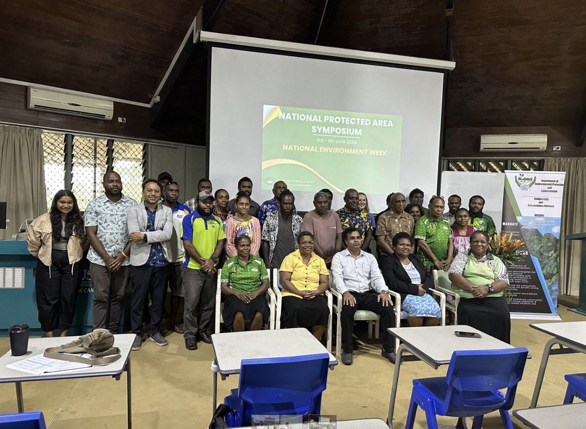
Proudly celebrating National Environment Week in Vanuatu! UNOSAT is excited to be part of the National Protected Area Symposium in @uspEmaluscampus, @UniSouthPacific.
It was an honor to meet Dr. @kotra_krishna and discuss our shared commitment to protecting our planet.
Congratulations to the Fijian government for securing $5.7 million from the Adaptation Fund to construct 14 nature-based seawalls.
This project will protect approximately 2,466 people, enhancing climate resilience for vulnerable coastal communities in Fiji.
@UNOSAT officially launched its Geospatial Decision Support System in the Fiji Islands. Today, we provided training to government technical officers.
Empowering local professionals with cutting-edge geospatial tools for better decision-making to support climate resilience!🌏
📡 Preliminary satellite-derived impact assessment for Agam Regency, Sumatera Barat, Indonesia (20 May 2024)
Summary of findings:
Damaged structures, landslide, & washed away area in Sungai Pua Washed away area in Baso
#UNOSAT#Indonesia#DisasterResponse
From IT to disaster management hero: Branson Pitakia's story shows the transformative impact of knowledge and innovation.
🛰️Through GIS training, he's strengthening his organization's resilience, one map at a time.
🪶: https://t.co/XX4pO25rPg
@UNOSAT has a new home in Bangkok! We are thrilled to announce the opening of our new offices hosted at the United Nations Bangkok premises. Huge thanks to @UNESCAP for their unwavering support for our growth in the Asia-Pacific region.
Conclusion of a scoping mission in Timor-Leste for the development of a risk and vulnerability dashboard focusing on agriculture livelihoods.
We are thrilled to have collaborated closely with government, ministries, and counterparts to tailor it to Timor-Leste's unique context.
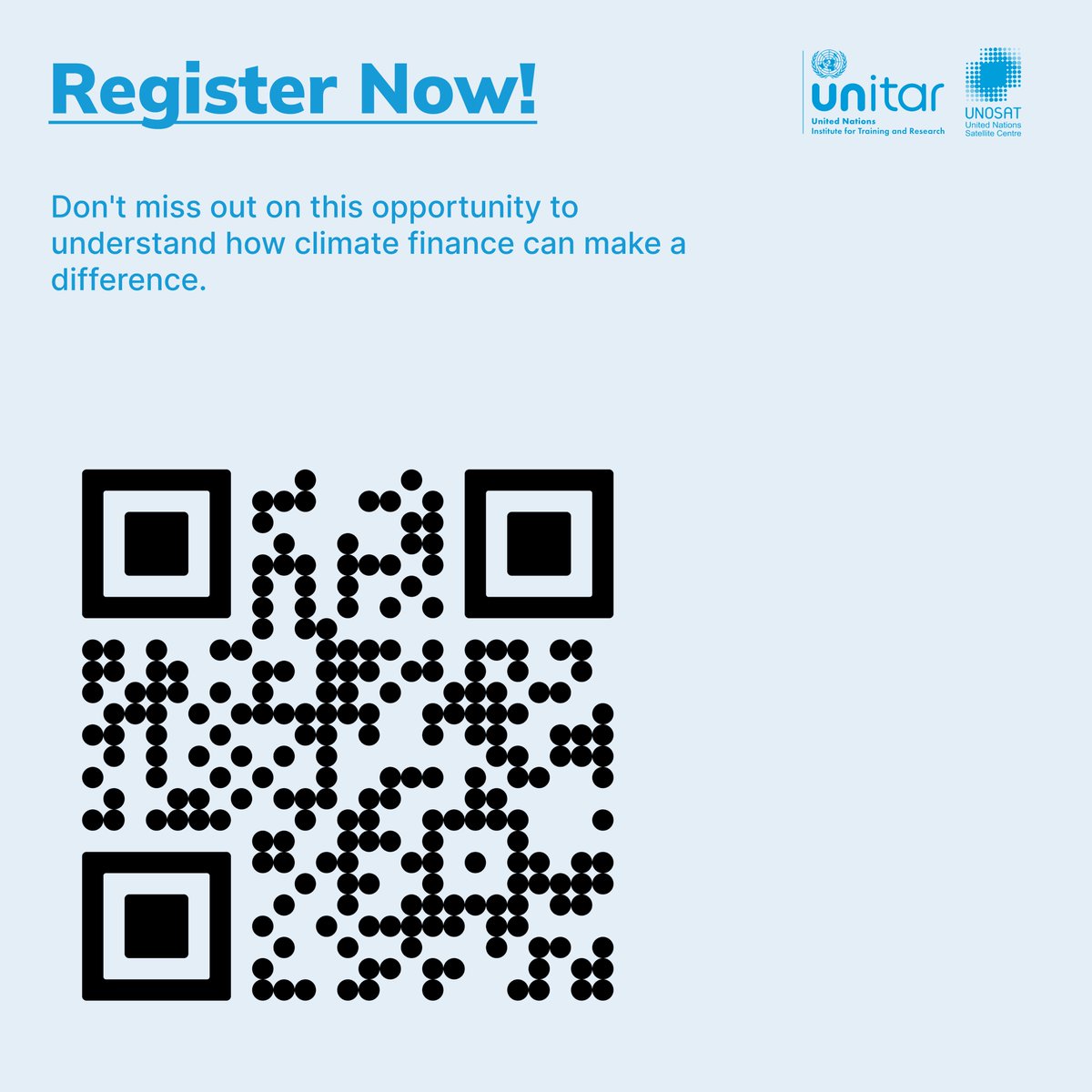
🌟 Join us for a special webinar on #InternationalWomensDay! 🌍
💻 Explore strategies for gender equality & empowerment in Geospatial Information Technology.
🛰️ 8 March, 9:00 CET.
Register now: https://t.co/EQD6DwjFj7
🛰️On February 23, UNOSAT had the privilege of leading a GIS workshop at Makerere University in Kampala, Uganda.
Led by @nedala_shafiq, the session focused on utilizing open-source geo-information technology tools to enhance spatial analysis in research.
Excited to announce UNOSAT’s new partnership with @FAOAsiaPacific! The project will develop a dynamic risk assessment dashboard for Lao PDR and Timor-Leste focusing on Food Security. #FoodSecuirty#GIT#DisasterResilience
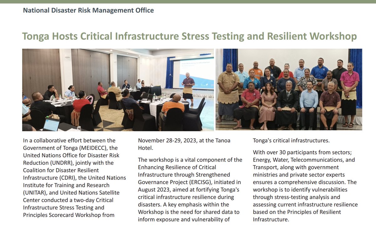
🌏 Exciting news! UNOSAT is honored to be featured in the latest National Disaster Risk Management Office (NDRMO) newsletter in Tonga. Grateful for collaboration with NDRMO, CDRI, and UNDRR in fortifying critical infrastructure resilience. Let's shape a more resilient future! 🤝
🛰 UNOSAT's team in Bangkok is very excited to kick off a week-long Earth observation training in Vang Vieng, Lao PDR, with the Disaster Prevention Division (DPD). Government participants will harness satellite data/tools for robust disaster risk management. 🌎 #EO4DRM@noradno