🌍 UN Satellite Centre rosters are open:
🛰️ Geospatial Analysts (GVA)
https://t.co/BCUKZGMm6N
🧠 QA/QC & Training Specialists (GVA) https://t.co/C14uO6BgIh
🛰️ Geospatial Analysts (Remote) https://t.co/MTwP7lQbRh
🧠 QA/QC & Training Specialists (Remote) https://t.co/O1FzEoWxiz
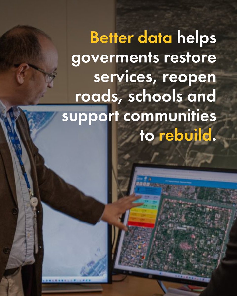
First 48 hrs after a crisis matter.
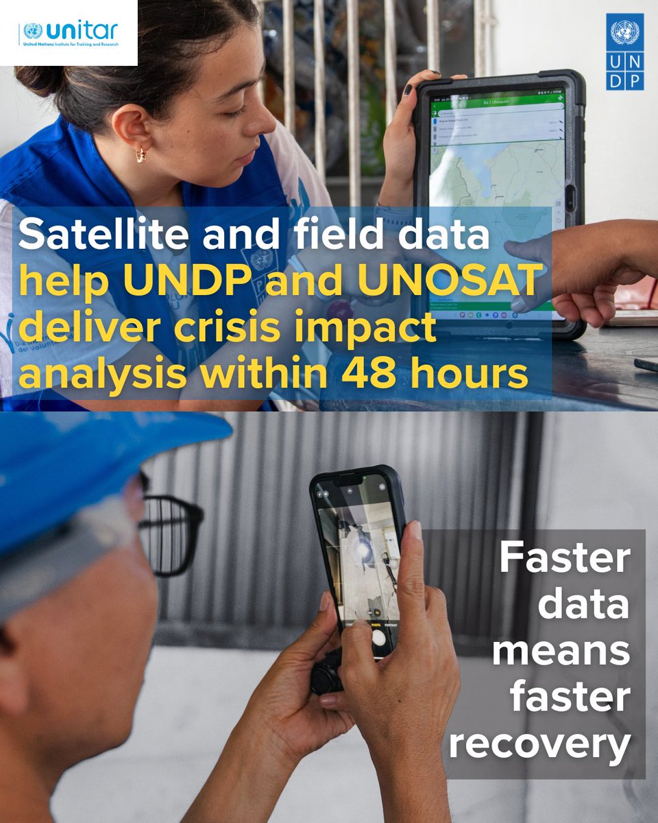
Today in Geneva, Shoko Noda @shokonoda & Michelle Gyles-McDonnough @UNITAR_ED launch a strengthened partnership between @UNDP and @UNOSAT to deliver impact analysis in 48 hrs.
Faster data = faster recovery
#DisasterResponse#SatelliteImagery
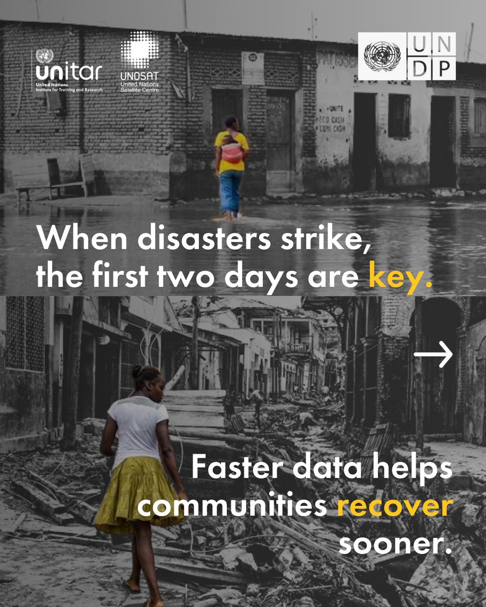
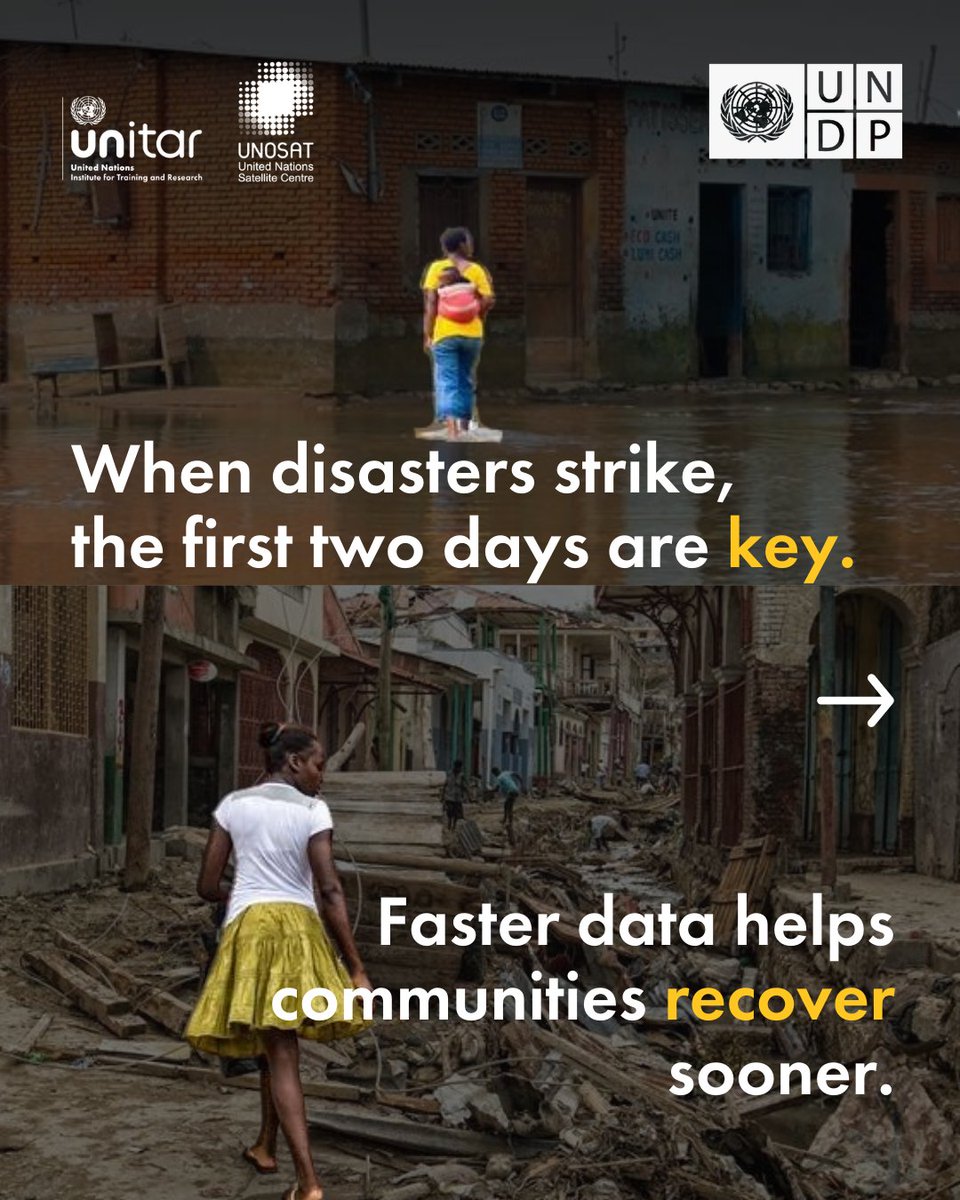
When crises strike, the first 48 hours are key.
Today in Geneva, @shokonoda & Michelle Gyles-McDonnough @UNITAR_ED launch a strengthened partnership between @UNDP and @UNOSAT to deliver impact analysis in 48 hrs.
Faster data = faster recovery.
🛰️ https://t.co/ZFP6N9X9Lq
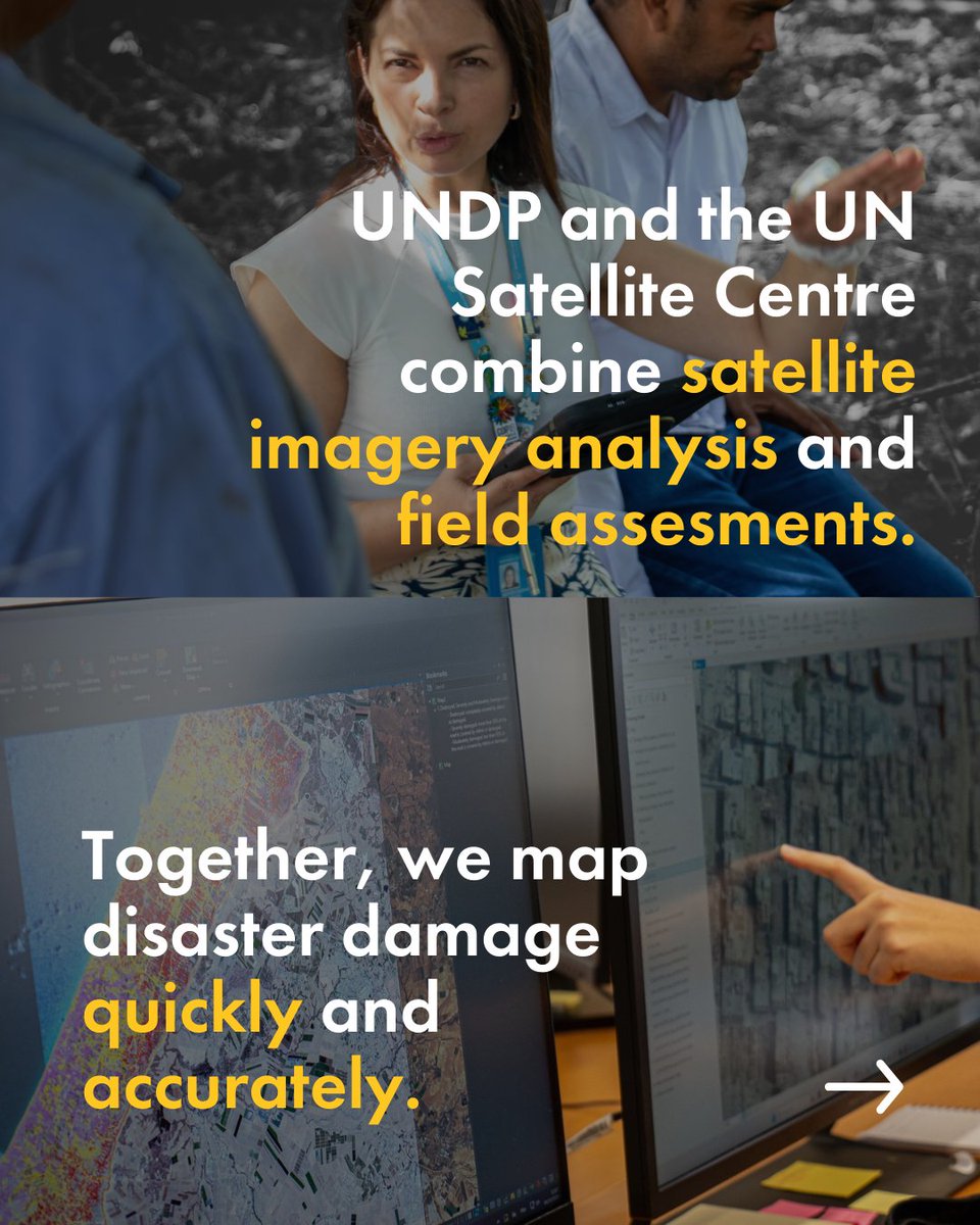
Timely satellite data helps accelerate recovery.
Today in Geneva, @shokonoda and Michelle Gyles-McDonnough @UNITAR_ED marked a strengthened collaboration between @UNDP and @UNOSAT to deliver rapid impact analysis within the first 48 hours after a crisis.
🛰️https://t.co/GDvdccPb9m
Consult the latest analysis for #floods in Boeny Region, #Madagascar from our web map:
~3,000 km² of land appears to be affected by floodwaters
~36,300 people are potentially exposed to or living close to flooded areas
➡️https://t.co/1SP5B22oNd
Amid rising global tensions, @UN Secretary-General António Guterres calls for action on peace, justice, and sustainable development as top priorities in 2026.
There is no lasting peace without development. #ActNow
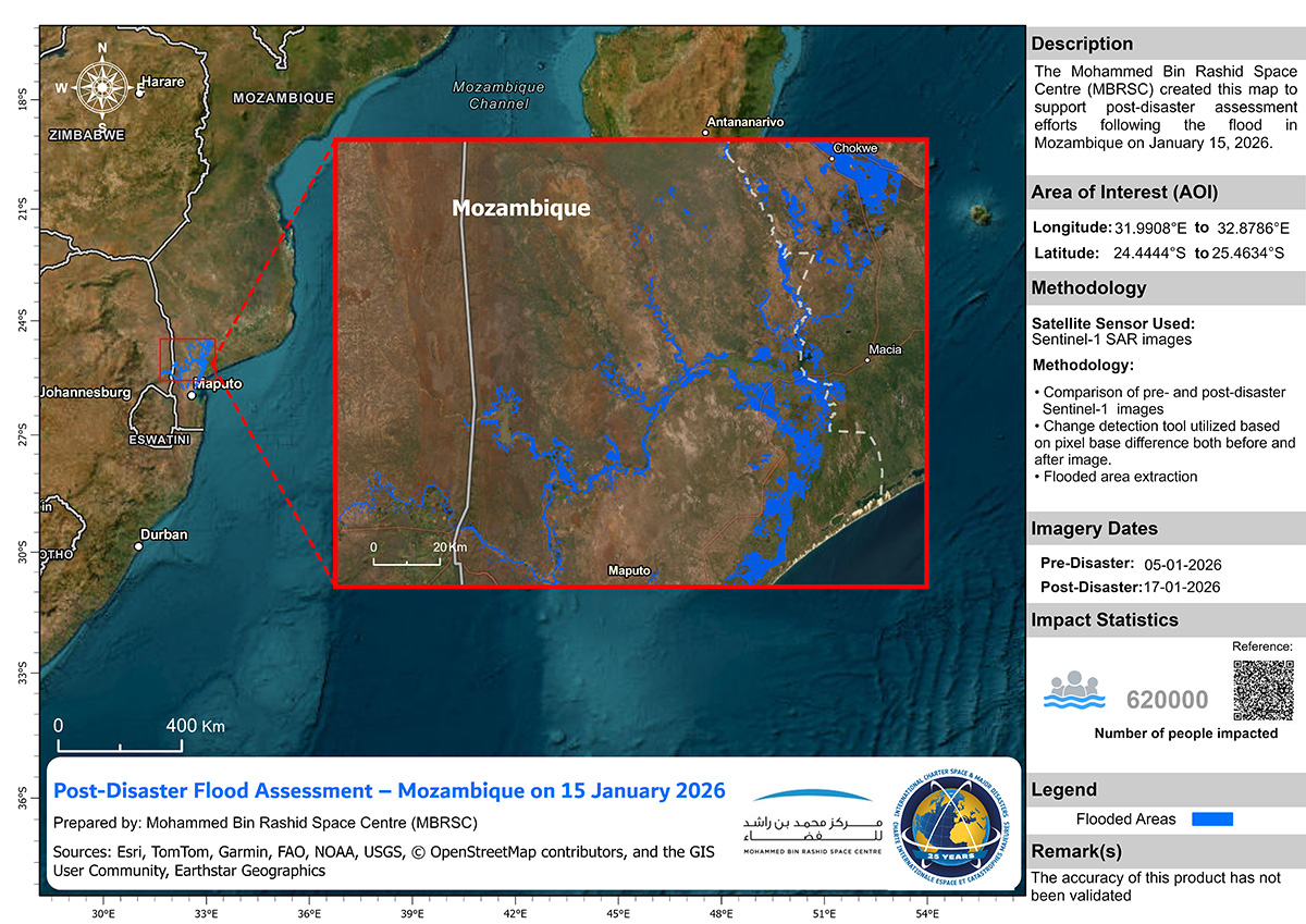
The Charter has been activated to provide satellite data over the flood in Mozambique: https://t.co/FZybBtvMce
Our first maps of the disaster use #Sentinel1 data to estimate flooded areas.
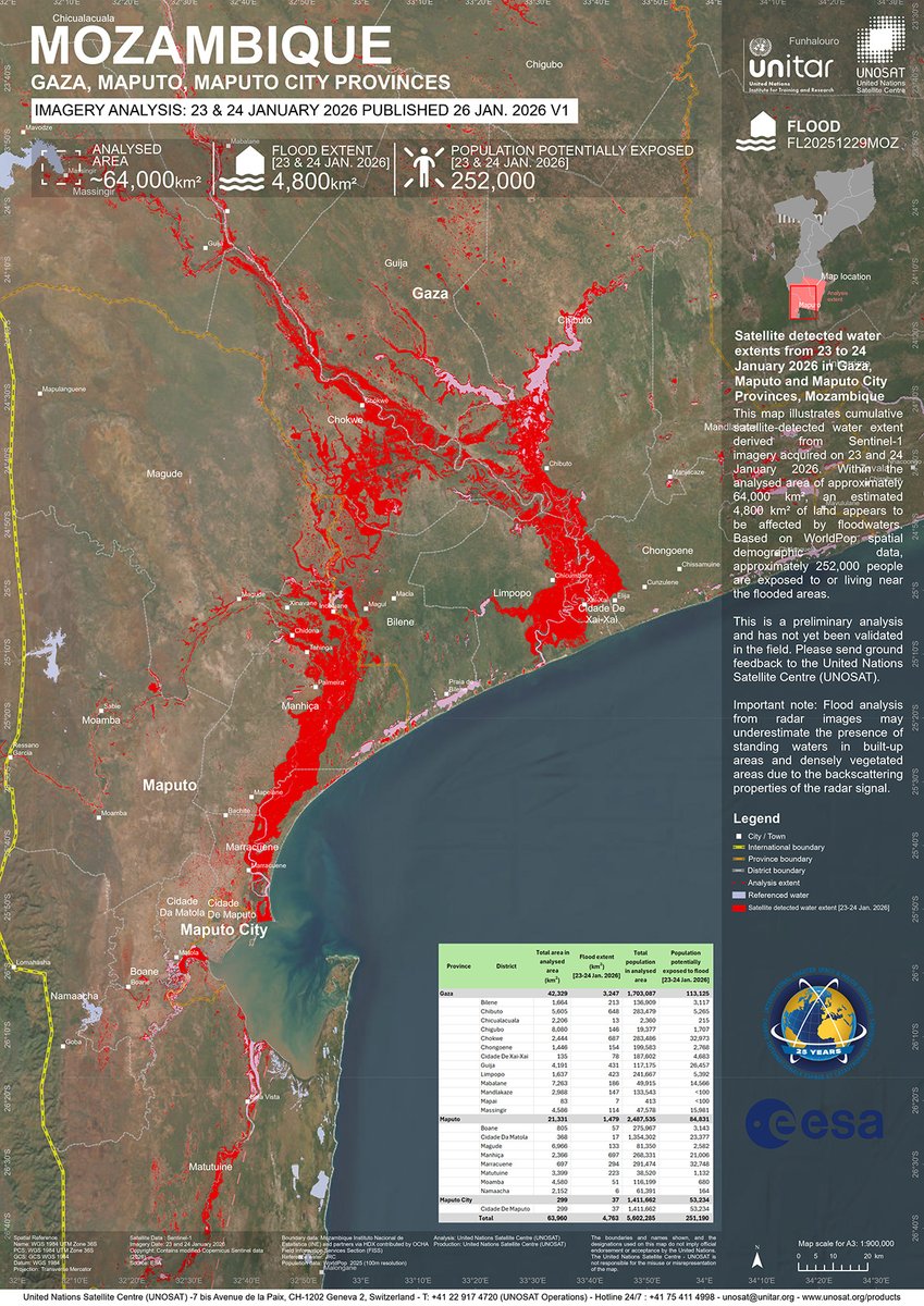
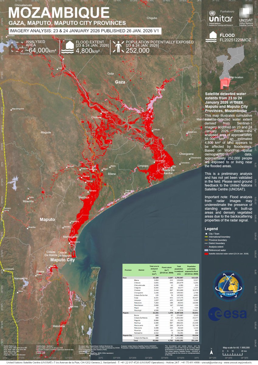
Consult the latest analysis for #floods in #Gaza, #Maputo & Maputo City Provinces, #Mozambique from our web map:
~4,800 km² of land appears to be affected by floodwaters
~252,000 people are exposed to or living close to flooded areas
➡️https://t.co/4szyDAwswI
When severe storms hit Cabo Verde 🇨🇻 in 2025, @UNCaboVerde mobilized global expertise to support a rapid, evidence-based response. Satellite analysis from @UNOSAT, @UNITAR centre, helped guide emergency action and informed national recovery planning.
More https://t.co/YnwZbut5d1
In 2005 we received the UN21 Award for Team Productivity, & it is still today at the core of our engagement for an efficient UN system working for the Peoples of the United Nations: strategic engagement, sound technical expertise, innovation, partnerships, synergies & dedication.
Did you know about our collaboration with the UNCT in Cabo Verde following severe storms last summer? See our exchange with @PatPortelaSouza highlighting how we supported the full disaster cycle from emergency response to recovery and long-term resilience: https://t.co/rAyNcic7Zn
In support of NCAM, we have published a damage assessment report of #heritage in #Sudan covering 2023-now. Further analysis is required of additional cultural heritage sites across Sudan, and continued monitoring is essential.
➡️https://t.co/CmbJUBV2Vp
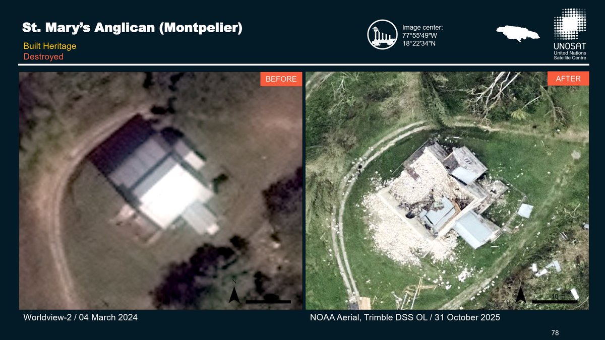
#HurricaneMelissa damaged Jamaica’s #culturalheritage, including #historic buildings and #churches across the island.
➡️A new PDF report provides information on more than 200 locations: https://t.co/RVqcqAiMkG
#UNOSAT highlighted how innovative geospatial analysis and technical training are powering disaster resilience and SDG progress across Asia-Pacific, presented at Session 5 of the Regional Workshop on Multi-hazard Risk Assessment for Risk Reduction & Planning.
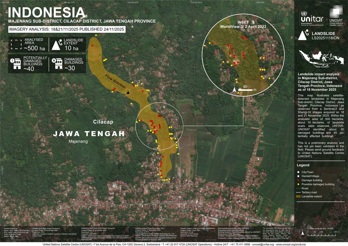
#Indonesia update: Satellite analysis (18–21 Nov 2025) detected landslides in Majenang (~10 ha; 30 damaged buildings / 40 at risk) and Pandanarum (~30 ha; 70 damaged buildings/ 60 at risk) in Jawa Tengah Province.
➡️https://t.co/l9O5rjGjvq
➡️https://t.co/s5eJARo1RB
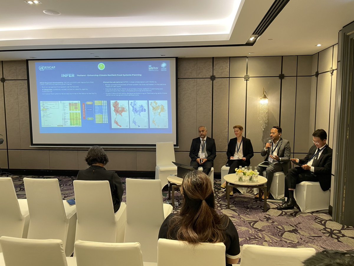
UNOSAT joined today’s panel on climate-resilient food systems, sharing how geospatial analytics reveal vulnerability hotspots and strengthen food security & safety. Thailand’s INFER risk mapping demonstrates a scalable model for ASEAN-wide climate and food system resilience.
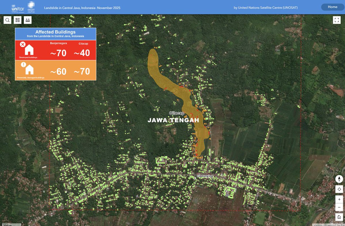
Following a request from @WFP, our Emergency Mapping Service has been activated to monitor landslides in Central #Java, #Indonesia.
➡️Access the map here: https://t.co/lqMBxyJdtE
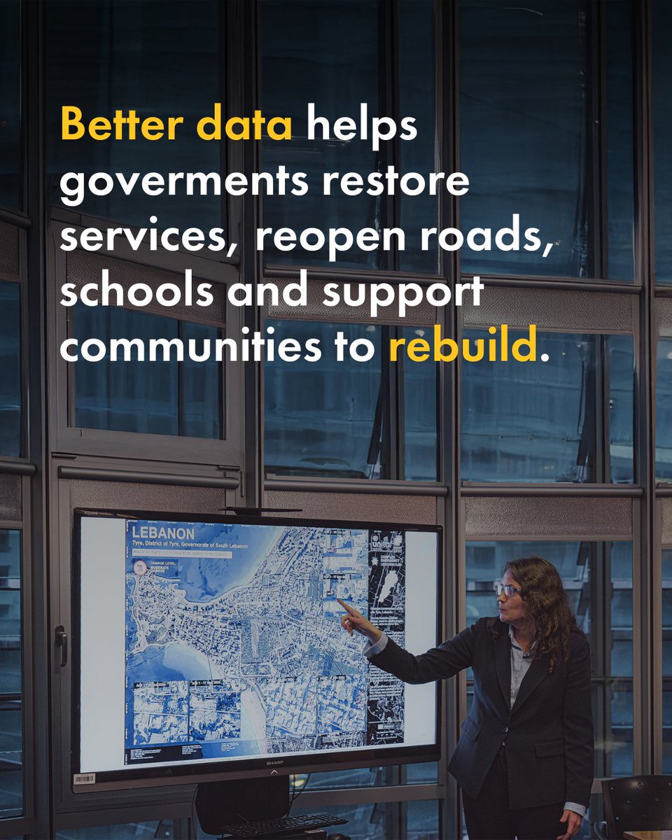
In #Lebanon, satellite imagery is an essential tool to assess damage to homes, farmland, and vital infrastructure. 🛰️
@UNOSAT analysis guides UN agencies working on recovery and resilience, supported by #LuxAid