NWS Alert> Potential Tornado Near Batesburg-leesville Moving NE At 15 MPH. Mobile Homes May Be Damaged. Damage to Roofs, Windows, & Vehicles will Occur. Tree Damage is Likely. Locations Impacted Include Delmar... #scwx https://t.co/yPnVGjsXTN
Just went through the tornado warned storm appeared to be cycling closer towards wagener visually with a new wall cloud developing. Encountered pea size hail on New Holland Rd & Kirkland St. @NWSColumbia
@CNN your article New coronavirus cases are on the decline in only three US states is not accurate. SC only had low case numbers bc DHEC has had test reporting issues for last week.
At this time, Lex 3's schools and District Office will operate on their normal schedules. We will continue to monitor the storm’s path and work with the Governor’s Office and Emergency Preparedness officials as the week progresses. #hurricanedorian#lex3
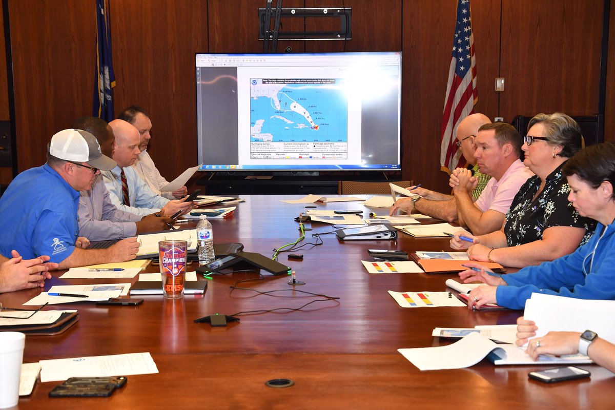
SCDOT Management are in a meeting on Aug. 28, 2019, to discuss the possible impacts Hurricane Dorian has on South Carolina. Staff will have equipment and employees ready as the storm gets closer to landfall.