🚨New Paper🚨
Azzam et al. explore machine learning techniques for automated petrographic analyses and provide 2 novel open source tools (GrainSight and PetroSeg) for grain detection, grain characterization, and porosity calculations.
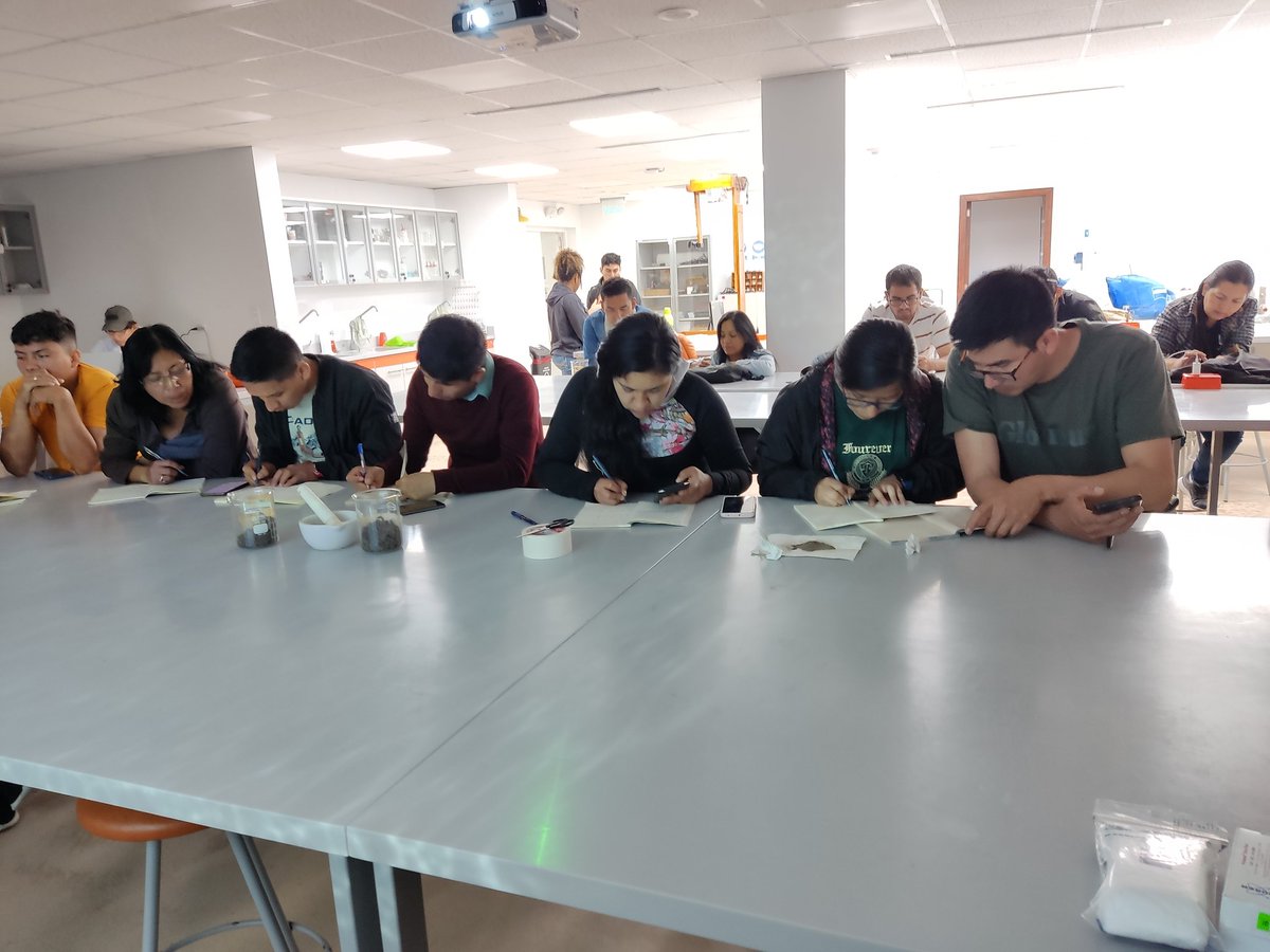
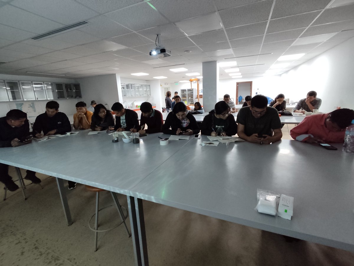
Those samples were analyzed during the second day using the portable X-Ray Fluorescence (pXRF) spectrometer where the students contrasted the obtained results with previous analysis made by 7th-semester Ikiam students in an area without anthropogenic intervention around Ikiam.
On the first day, soil samples were collected from Ikiam's plots after discussing both the national regulations for research/analysis purposes and sampling techniques.
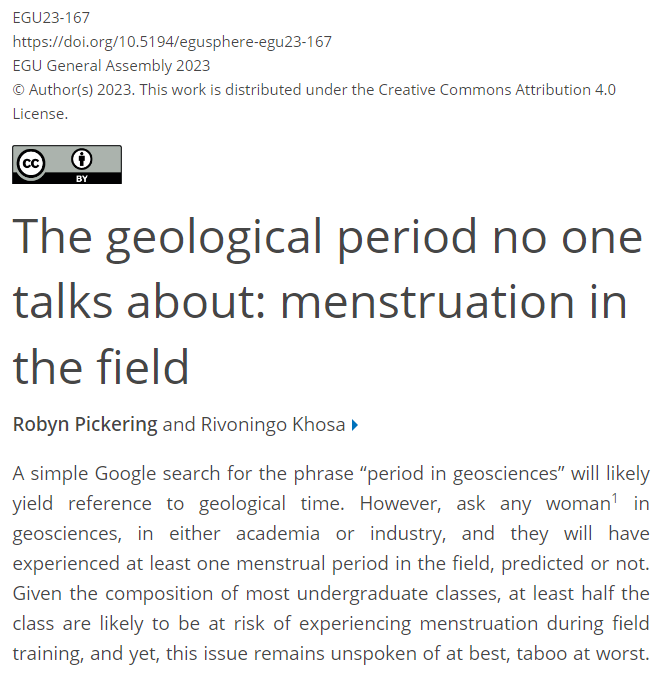
As a female geoscentist that has done a LOT of fieldwork, I cannot empahsize enough how much it frustates me, that people still consider this a taboo. Grow up, and be considerate of females, this is part of our biology. https://t.co/FXJ78Xk2xe
What if there was a way to:
• Mitigate climate change
• Create more life
• Grow the economy
• And make money along the way?
Let's call it *Seaflooding*
This chart shows the hours of daylight as a function of day of the year and latitude
[source u/harpalss: https://t.co/QowhMPPpXC]
[equation used: https://t.co/AVR07FbouX]
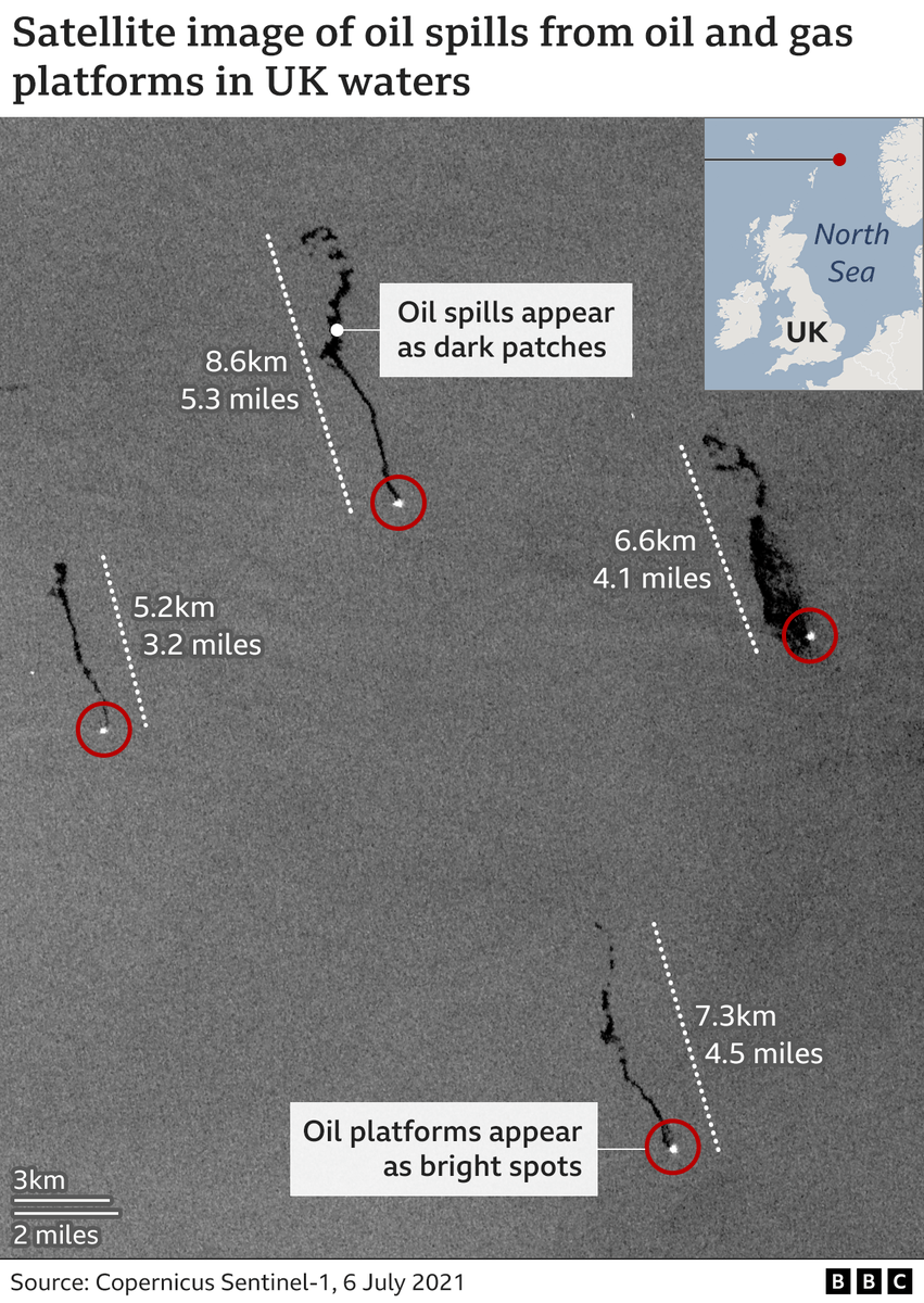
Oil spills from offshore platforms in the North Sea revealed by radar satellite imagery and FOI requests
This is the most impressive @CopernicusEU Sentinel-1 image I could find, 4 oil platforms, 4 oil spills
Mines | Dig & Fill ⛏️
Mesmerizing six years of coal pit mine evolution. Eastwards movement while it is filled. @CopernicusEU#Sentinel2 🛰️ 2016-2022
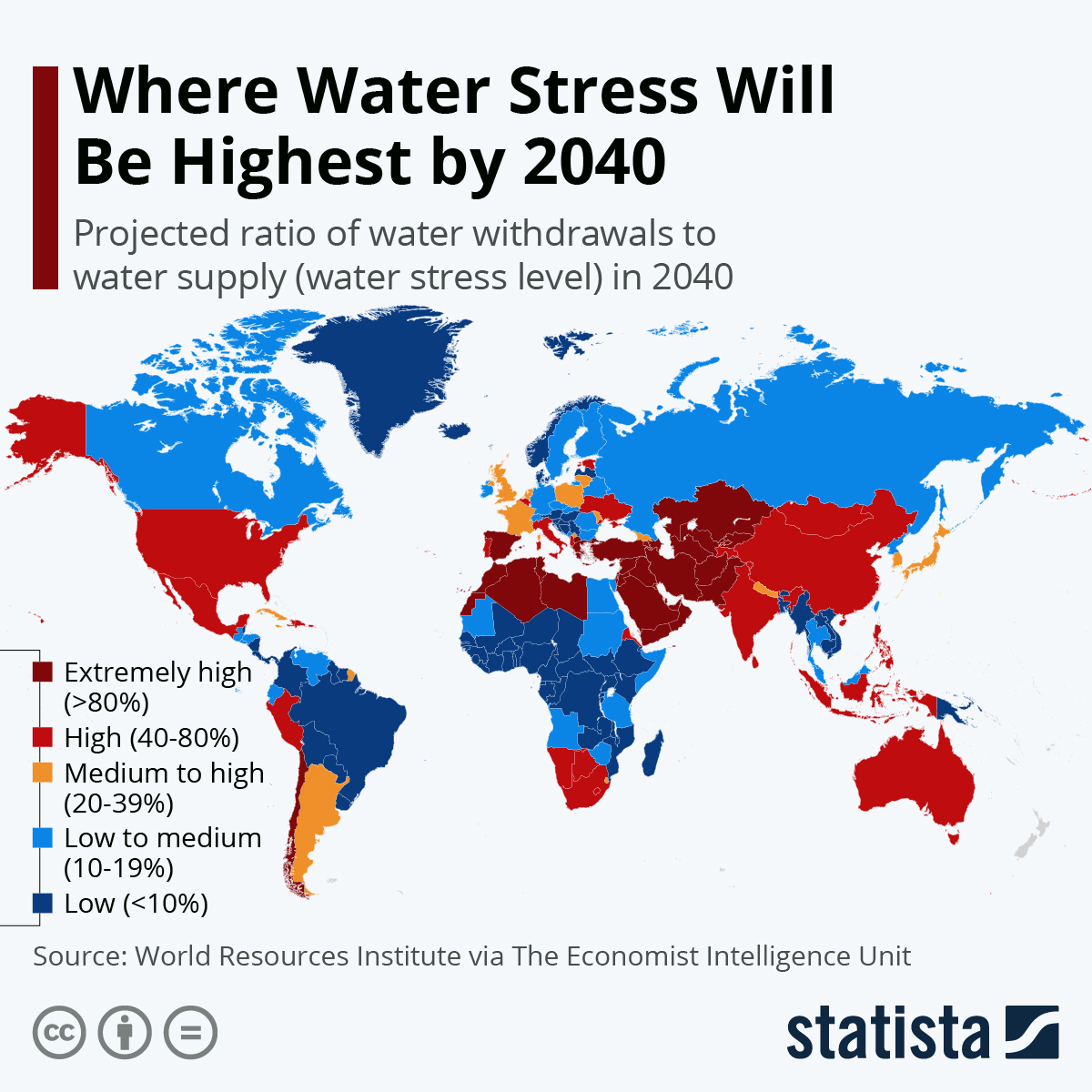
Where will water stress be felt the most by 2040? According to the outlook, 44 countries will face either “extremely high” or “high” water-stress levels by 2040.
Explore more: https://t.co/tkPFcyNFaJ
Rainfall trends over the Amazon Basin (1981-2020):
- Northern and western portions have been facing more rainfall (blue)
- Southern portions, the opposite (red).
One of the consequences are record-breaking floods along the Amazon River in the last decade.
To finish this week of seismic tomography results in @u_ikiam Geosciences, we have published a paper to contribute to understanding the headward erosion problem on the Coca River in Napo province in Ecuador's Amazon region.
https://t.co/sEXusQ8v85