My lead author supercell paper with James Ruppert, @mattnado, and @UpdraftwMax is now out in final form in Journal of the Atmospheric Sciences!
https://t.co/I0pJrJF3Xl
@CameronJNixon@hyskywx Should we even try to make inferences about updrafts/mesos from dx=3 km models (i.e., probly too coarse)? We know enough about the env to do it ourselves, no? Plenty of days (4/26/24) where HRRR UH was weak (or strong!) and it was reflected in fcsts, usually for the worse IMO.
Top metro areas by Danish ancestry:
Logan, UT-ID (6.2%)
Provo, UT (4.9%)
St. George, UT (4.3%)
Ogden, UT (3.6%)
Racine, WI (3.4%)
Salt Lake City, UT (3.4%)
Pocatello, ID (3.3%)
Idaho Falls, ID (2.7%)
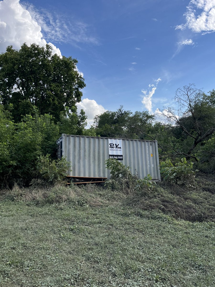
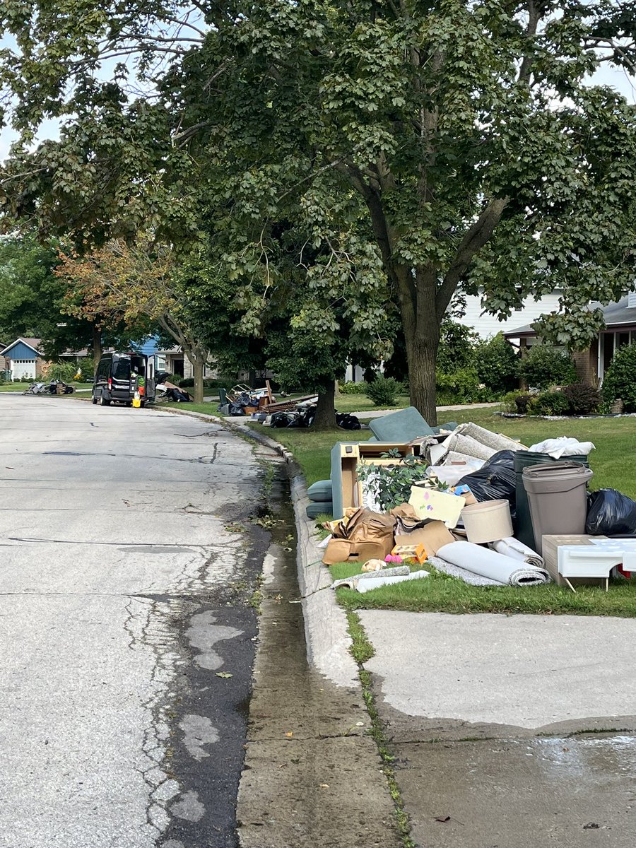
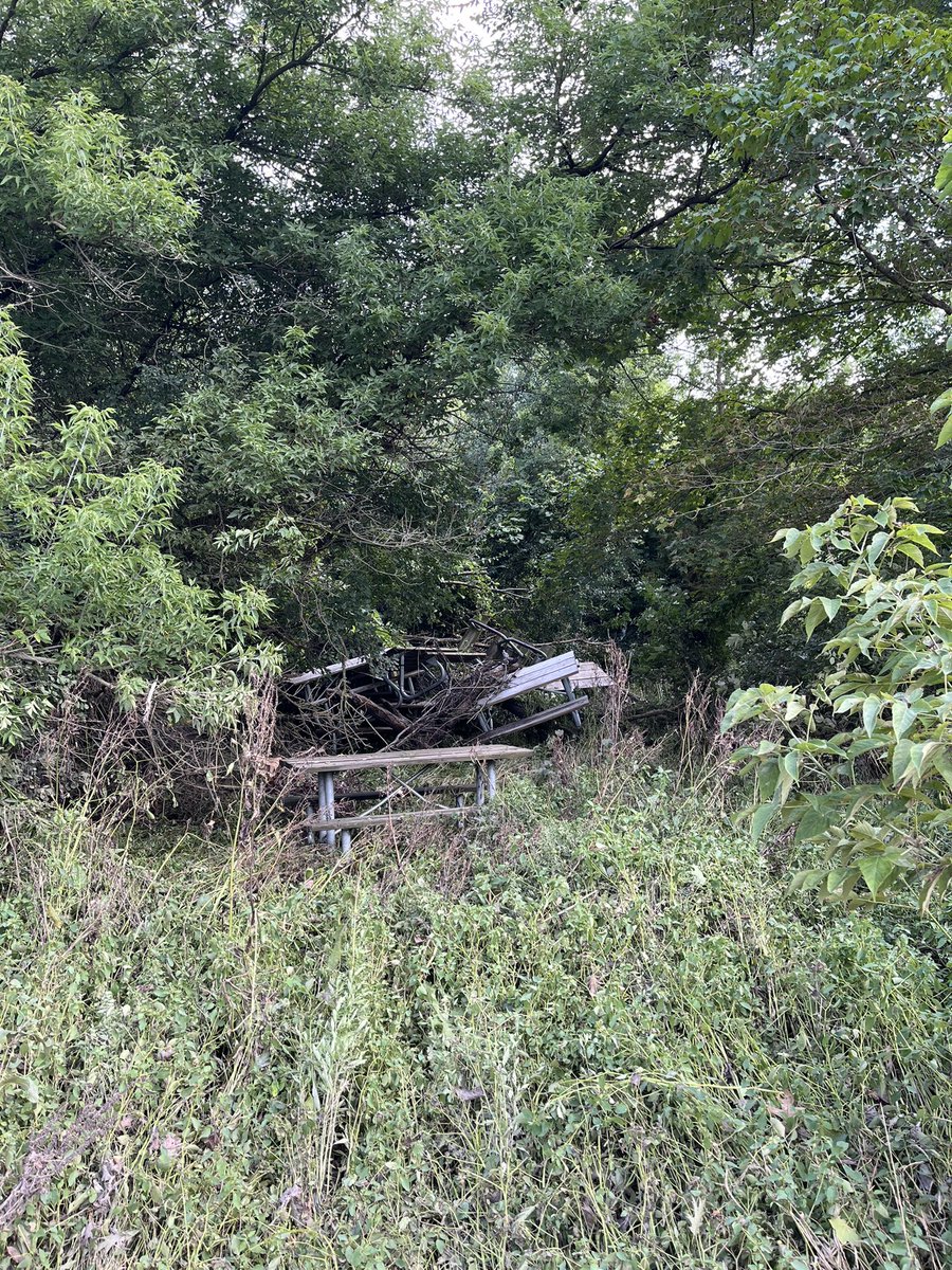
Widespread flooding impacts in Milwaukee Co. First three videos/images are at the Whitnall Park Beer garden in Greendale, near the Root River. The shipping container was moved about 100 yards. Last photo shows what many streets around town look like. @NWSMilwaukee@BrianNizTMJ4
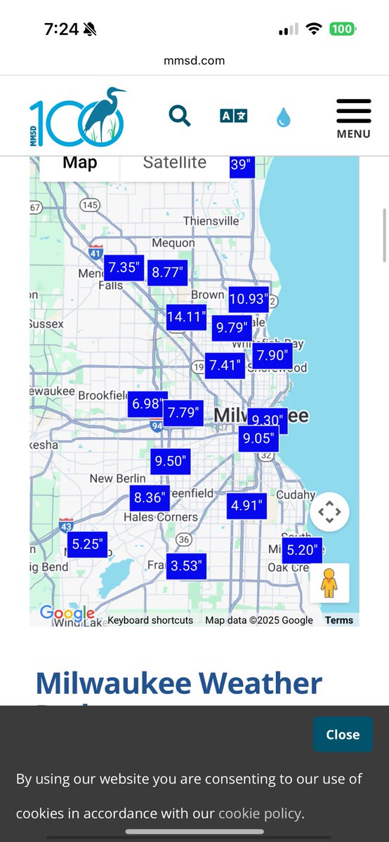
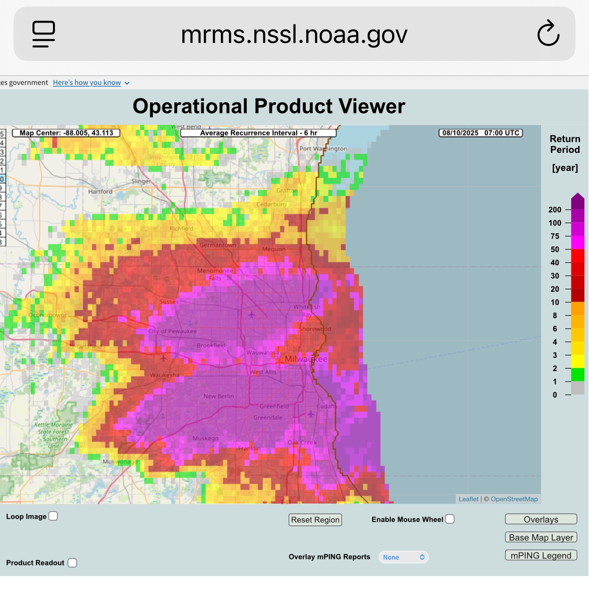
Extreme rain event centered on Milwaukee overnight, more than 14” locally recorded with additional downpours moving through. Probably one of the biggest in state history. Very well forecasted by the local WFO and the WPC, who issued a moderate risk despite so-so model support.
The Milwaukee River at Estabrook Park and the Root River in Franklin have both broken the old flood stage records. The Fox River in Waukesha will also reach record flood stage later today.
To say this is a historic and unprecedented flood isn't hyperbole. It's a fact.
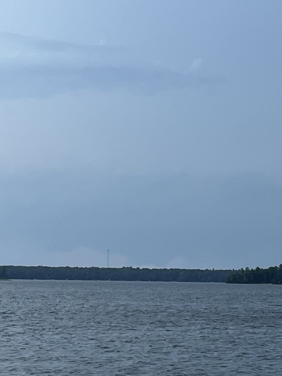
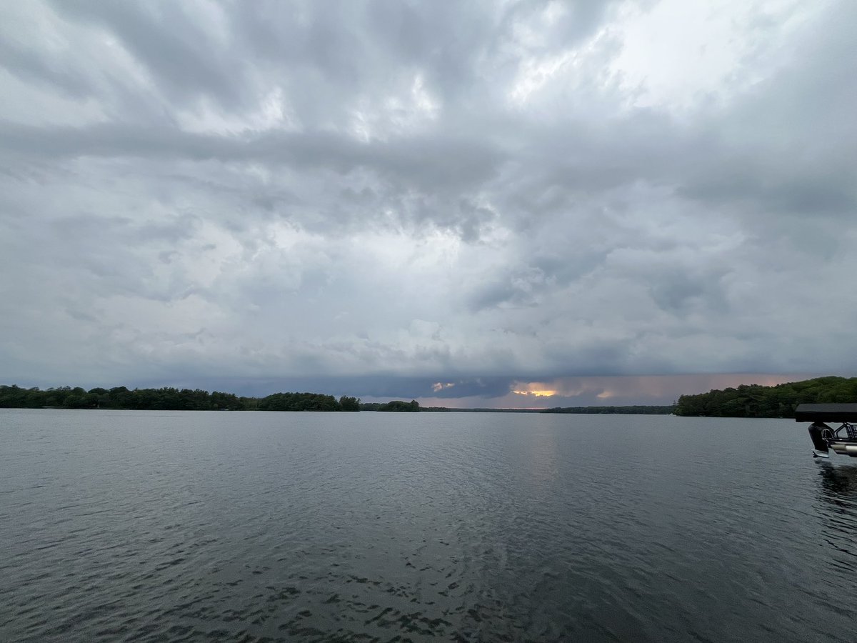
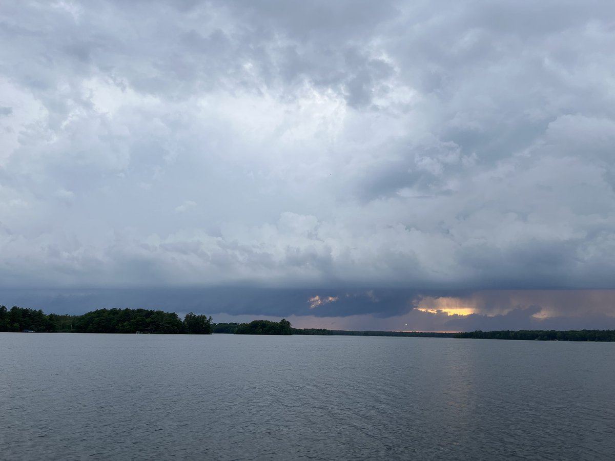
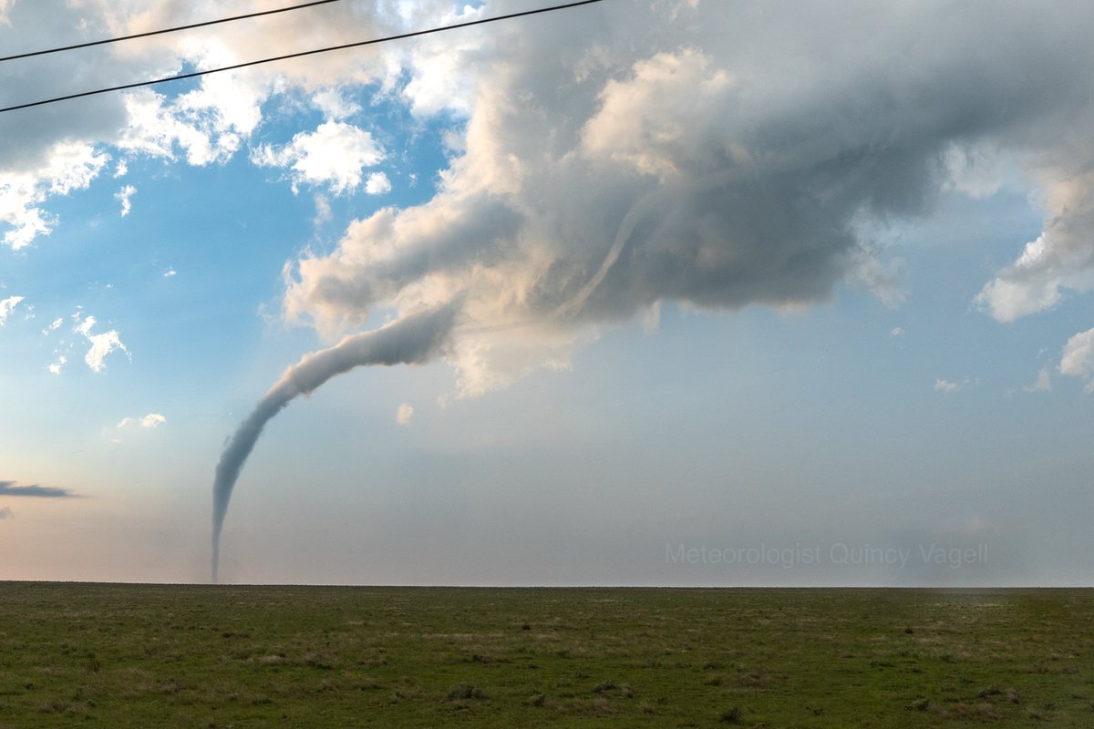
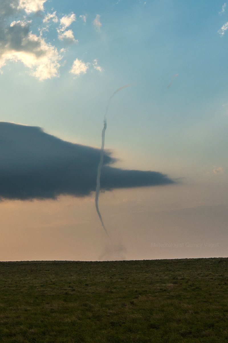
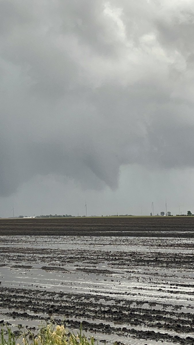
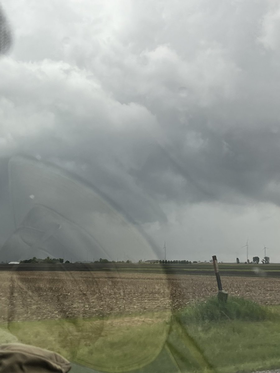
Some shots of what might have been a brief tornado just south of Penfield, Illinois yesterday. First video was taken at 5:07-5:08 pm, last photo was at 5:11 pm CDT. In the first part of the video there appears to be a couple faint swirls at the ground. @NWSLincolnIL