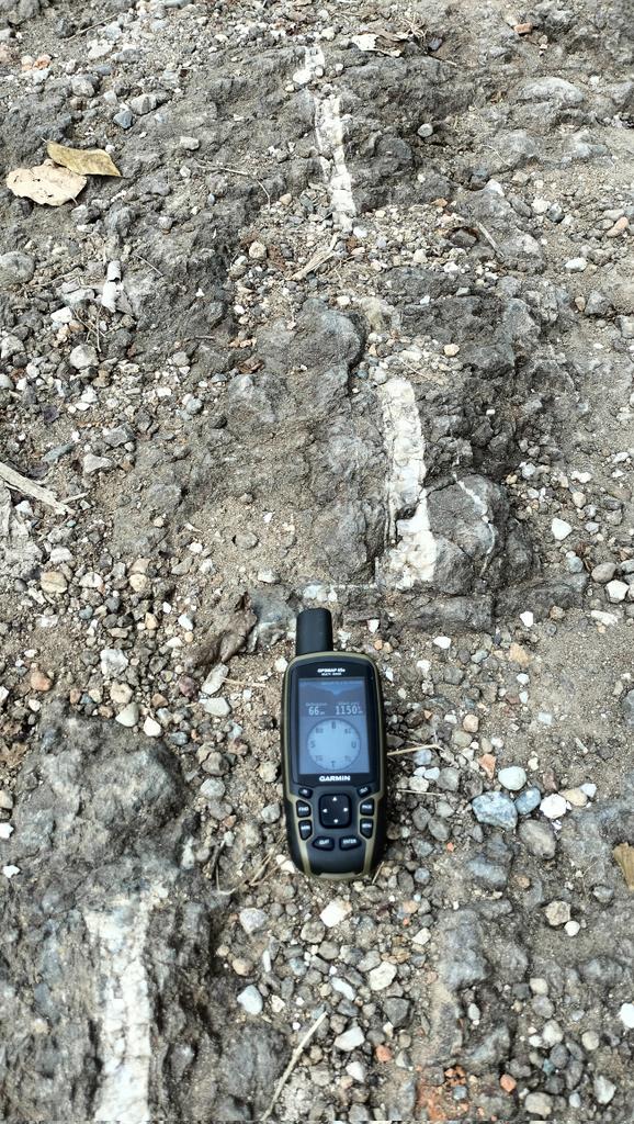
Likely a shallow, left-lateral strike-slip event. USGS ShakeMap shows a ~120 km WNW–ESE-trending strong-shaking zone, possibly reflecting bilateral rupture.
The rupture appears to have avoided the most densely populated areas of Panama.
Sakurajima, Kagoshima, Japan, 13 September 2026
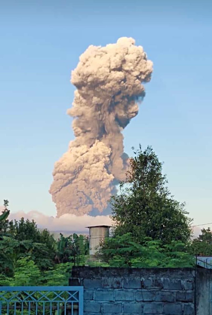
Four explosive eruptions shook the Minamidake summit crater of Sakurajima on 13 September, sending dark ash plumes up to 2,400 metres into the sky. The resulting clouds drifted across Kagoshima Bay, prompting regional disaster-management officials to issue routine ashfall advisories for nearby settlements.
Surveillance cameras maintained by the Osumi River and National Highway Office documented the rapid ascent of the tephra columns from viewpoints along the coast and local riverbanks. Such episodic expulsions represent standard Vulcanian activity. Viscous, degassed magma periodically solidifies in the upper conduit until gas pressure accumulating underneath shatters the plug, driving an abrupt burst of fragmented rock, volcanic glass, and vapour into the atmosphere.
Settlements around the bay have organised daily routines around these repeated ash showers for decades. Municipal street sweepers clear the gritty deposits from roads, whilst authorities advise residents downwind to keep windows shut and take care on slippery pavements. With the Volcanic Alert Level remaining steady at Level 3, the activity conforms to the long-term behaviour of the volcano, keeping the standard two-kilometre exclusion zone in effect around the active summit.
Vulcaniya | Volcanoes • People • Planet
Synoptic Paleoclimatology by Ian D. Goodwin
By interpreting the natural climate archive, this book reconstructs past weather and projects future regional weather and climate patterns.
📚 https://t.co/tHQn1Zwsmr
#climatechange
A M7.0 earthquake struck beneath the Hubbard Glacier in the St. Elias Mountains at 11:40 am AKST on December 6, 2025. Early remote-sensing results confirm hundreds of landslides and snow avalanches were triggered in the region. No injuries or fatalities have been reported due to the remote location.
This GIF shows before-and-after radar images highlighting changes in surface roughness caused by the quake. The dots mark USGS’s preliminary mapping of potential landslides and avalanches.
🔴probable larger landslides
🟡probable smaller landslides/snow avalanches
🔵other increases in surface roughness of unknown origin
Learn more here: https://t.co/lmnqD1SBWD
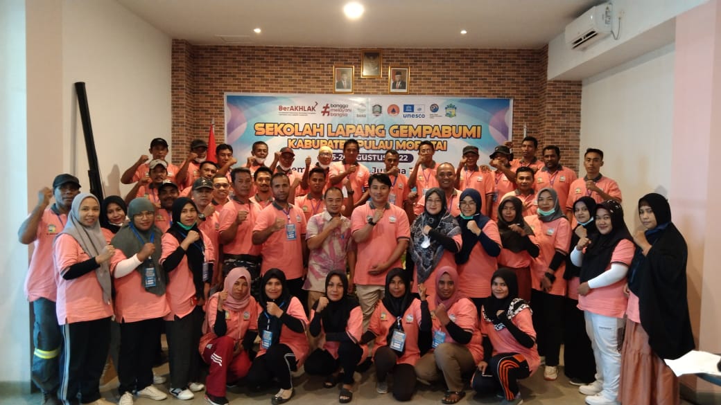
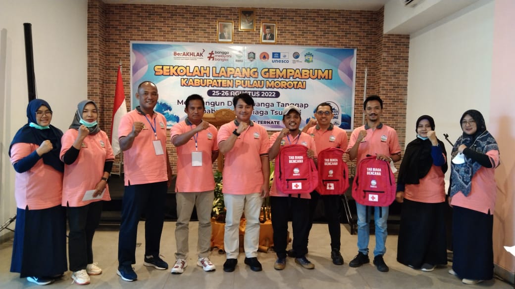
I and the Head of the Ternate Disaster Management Agency checked the facilities for tsunami evacuation signs and Assembly points. We made sure the evacuation routes were in good condition and on track.
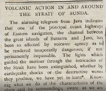
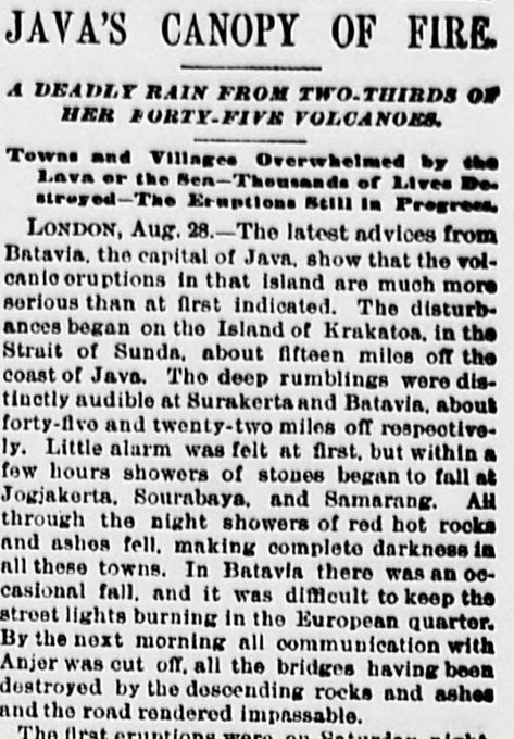
August 28, 1883, the news about the catastrophic eruption of #Krakatoa in #Indonesia with over 30.000 victims spread quickly around the globe, thanks to modern #media, like the telegraph system
https://t.co/FIP8tdCQRt