@JoshExile82@ATT Same thing happened to me, I was on a desktop so I was able to back out, go to my account and click upgrade on the specific device and enter It manually. Took until 8:07 to place the order but its showing these dates which is the earliest I've seen:
@rileyksufan@ATT Same thing happened to me, I was on a desktop so I was able to back out, go to my account and upgrade the device and do It manually. Took untio 8:07 to place the order but its showing these dates which is the earliest I've seen:
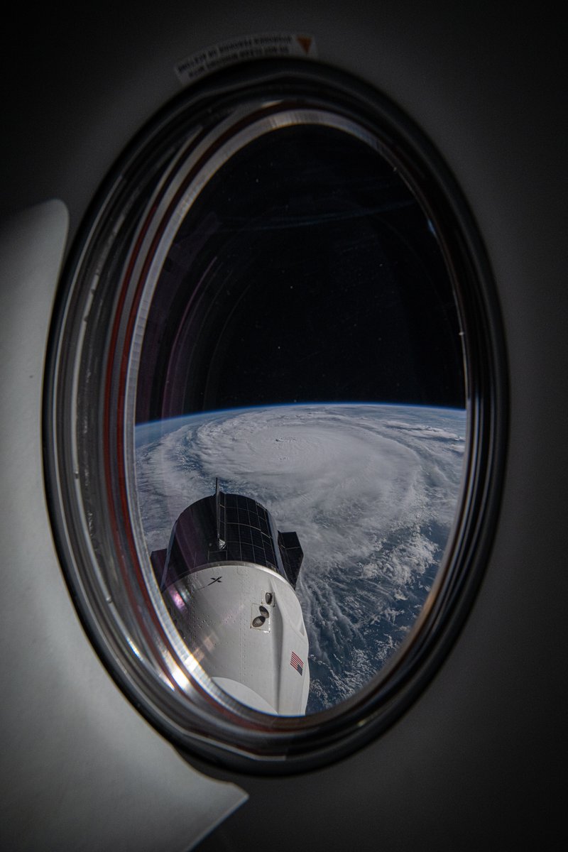
We flew over Hurricane Milton about 90 minutes ago. Here is the view out the Dragon Endeavour window. Expect lots of images from this window as this is where I’m sleeping while we wait to undock and return to Earth.
Timelapse coming in a separate post.
1/6400 sec, f8, ISO 500
Milton has absolutely went bonkers. Now a CAT 4 150mph Major Hurricane. Some models showed a CAT 5 now we might actually see that. Weakening is expected. But how much. Should we even say weakening at this point as it nears Florida. Significant impacts regardless. https://t.co/0EQMEw6Iu0
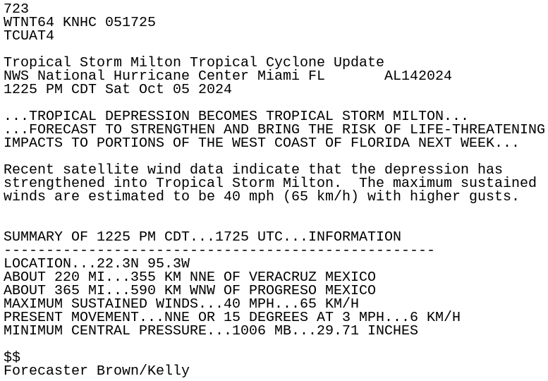
We now have Tropical Depression #14. Expected to reach 110mph before landfall into Florida. They note might nudge upward. Track thinking solid. Cone is where the eye could go. Impacts sometimes reach well outside the cone. Impacts for Florida's west coast, inland, and east coast coming next week. https://t.co/0EQMEw6Iu0
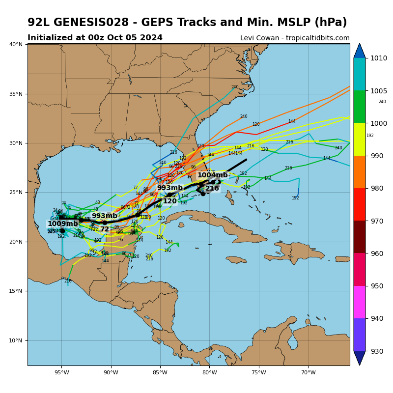
Saturday morning finds the disturbance in the southwest Gulf of Mexico becoming far better organized overnight and computer models locking into a more consolidated solution. Unfortunately, that solution looks to have potentially significant impacts for Florida.
The models are in good agreement the disturbance strengthens and moves east reaching Florida by midweek.
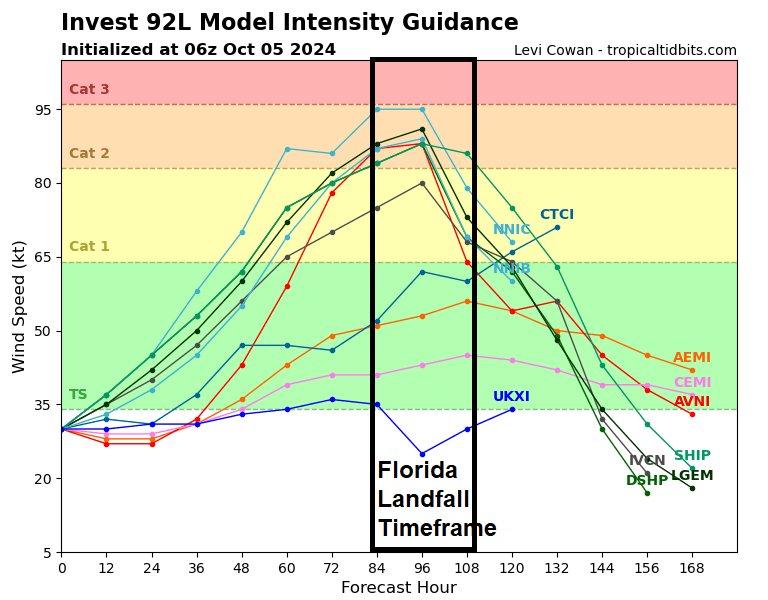
The models also indicate the possibility of a strong hurricane by the time it reaches Florida.