Singapore through SkyFi 🛰️
From a regional view down to Changi airport, Sentosa, the Port, Marina Bay, and the CBD, imagery from @vantortech , @planet , @umbraspace , and @Satellogic
Different use cases call for different imagery sources. SkyFi brings them together so you can search, compare, and buy in one place.
https://t.co/PJr4waApOT
One of the largest AI infrastructure builds is rising, and its progress can be followed from above. SkyFi's multi-provider network combined satellite imagery from Vantor, Planet, and Satellogic with Vexcel aerial as fine as 7.5 cm to track the Stargate campus in Abilene as it grew from open ground into a large-scale complex.
We’re hiring across three exciting roles at SkyFi:
🔸 Customer Success Associate
🔸 Product Designer
🔸Capture & Proposal Manager
Explore open roles and apply: https://t.co/XoNn8VSTHB
SkyFi has advanced to the Mission Track of NATO DIANA's Defense Innovation Accelerator for the North Atlantic (DIANA).
As one of five companies selected from DIANA's 2026 cohort of 150 innovators, and chosen from over 3,600 proposals across 24 NATO countries, SkyFi is now entering the adoption phase of the program.
In the coming months, we will refine our AI-enhanced geospatial decision-support platform alongside NATO end-users, aiming to broaden coalition interoperability and strengthen decision support in contested, denied, and austere environments.
Thank you to @NATO DIANA for the opportunity to support the readiness of all member nations.
Read our full announcement 👉 https://t.co/0VY043oL3c
The Earth doesn't stop changing. Neither should our ability to monitor it.
Earth Day is a reminder that better decisions start with better visibility.
Deforestation, flood risk, urban expansion, wildfire monitoring, crop health: these aren't abstract concerns. They're measurable, trackable, and actionable when you have the right view.
SkyFi brings together 50+ satellite providers and built-in analytics in one platform, giving organizations a clearer picture of the planet and enabling faster answers about what's happening on it.
We only have one Earth. Let's keep a close watch on it.
Happy Earth Day. Start monitoring what matters. → https://t.co/edMMs6SQ0U
When you build something at the edge of what's possible, the best engineers show up. That's how Silicon Valley was born and that's what Terafab is about to do for Austin. I wrote about the 80-year arc connecting classified Cold War labs to a $20B chip fab in central Texas.
If you are coming to Austin for Tectonic, I'll be speaking at 10:15am tomorrow alongside great people from @vantortech, @NRO_gov, and @umbraspace.
@SkyfiApp
New @Newsweek story, powered by @SkyFiApp. 🛰️
Tasked satellite imagery shows construction advancing on China's Type 004 aircraft carrier at Dalian. Defense analysts have identified what appear to be nuclear reactor compartments, suggesting China's first nuclear-powered carrier is taking shape.
Read more: https://t.co/j6JTuKYnbJ
It's here 🛰️
Vantor Connect is now live. Built by SkyFi in partnership with @vantortech, this self-serve platform puts high-resolution satellite imagery at your fingertips with no subscriptions or minimum spend.
Featuring:
🔎30–50 cm resolution optical imagery
🌎Archive imagery and new tasking from Vantor's full constellation
🤝Transparent pay-as-you-go pricing
Sign up, define your area of interest, and order.
It's that simple. 👉https://t.co/H7sJ7U2qgK
We’re hiring leaders to help build the future of Earth intelligence 🌍
Open roles at SkyFi:
💼 Security & IT Director
💼 Engineering Manager (Senior / Director levels)
💼 Program Manager
💼 Government Product Manager
Apply now: https://t.co/XoNn8VSTHB
Incredibly proud of the work we’re doing at @SkyFiApp to simplify Earth Intelligence and geospatial data.
@BuoyantVentures just published a deep dive into our mission and our recent oversubscribed Series A funding. Onwards and upwards! 📈🛰️
https://t.co/d71PHKm14L
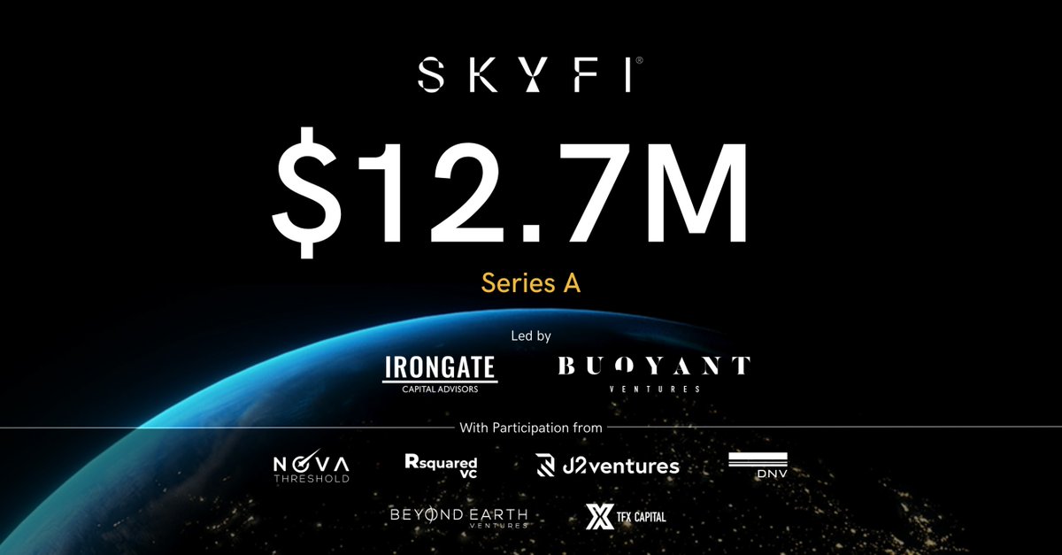
🚀 SkyFi's next chapter starts today. We’ve officially closed our oversubscribed $12.7M Series-A!
From expanding multiple government contracts, building for the @USSpaceForce through @DIU_x , to working with @SOCOM, and being selected for @NATO DIANA - all while growing our network to 50+ commercial satellite and analytic partners - 2025 was a massive year for us.
This new capital means we will ship faster, build smarter AI tools, and continue to deliver answers from space at speed for every industry and individual.
🌎 Earth Intelligence is no longer just for specialized experts. With SkyFi, actionable, on-demand, dual-use data from space is just a few clicks away.
Special thanks to our investors! More in the press release 👉 https://t.co/axMoiqG6Ko
#earthobservation #VentureCapital #Geospatial
🛰️ @vantortech Is Now Available on SkyFi
Vantor imagery is officially available on the SkyFi platform and mobile app, giving users immediate access to on-demand satellite tasking and high-resolution archive imagery.
Users can now task Vantor starting from 25 km² and order archive imagery starting from just 1 km², making it easier to pull the specific data you need at the scale that works for you.
Whether you’re monitoring infrastructure, tracking environmental change, or performing site analysis, you can now access precision satellite imagery at a scale that fits your project.
Explore Vantor on SkyFi today 👉 https://t.co/CQaiWG77uf
We are excited to announce that SkyFi has been selected as one of 150 companies joining the NATO DIANA 2026 Challenge Programme Cohort!
SkyFi will refine and expand its geospatial decision-support platform through the DIANA program, integrating additional data sources, enhanced AI analytics, and operator-focused workflows to improve mobility planning in contested and austere environments.
We are particularly excited about engaging with end-users, gaining early feedback, and building a pathway towards adoption by @NATO and Allies.
More here: https://t.co/rYXUaEqBoQ
Introducing ICEYE US Direct powered by SkyFi. Define your area of interest, specify imaging parameters, and task an @iceye_global SAR satellite with just a few clicks.
From national security and maritime domain awareness to disaster response and infrastructure monitoring, ICEYE US Direct has you covered.
Learn more and get started 👉https://t.co/idIQuFSeF3