@thelonningsguy has a new book coming out it April. If you fancy a free copy, like or retweet this. In 48 hours, I'll select a random winner and send you the book.
@ThamesPathNT@networkrailwest@EnvAgencySE Sadly the same can’t be said for the Oxford Green Belt Way, which is on the southern bank, and being diverted via a long section of pavement walking along the A415 into Abingdon.
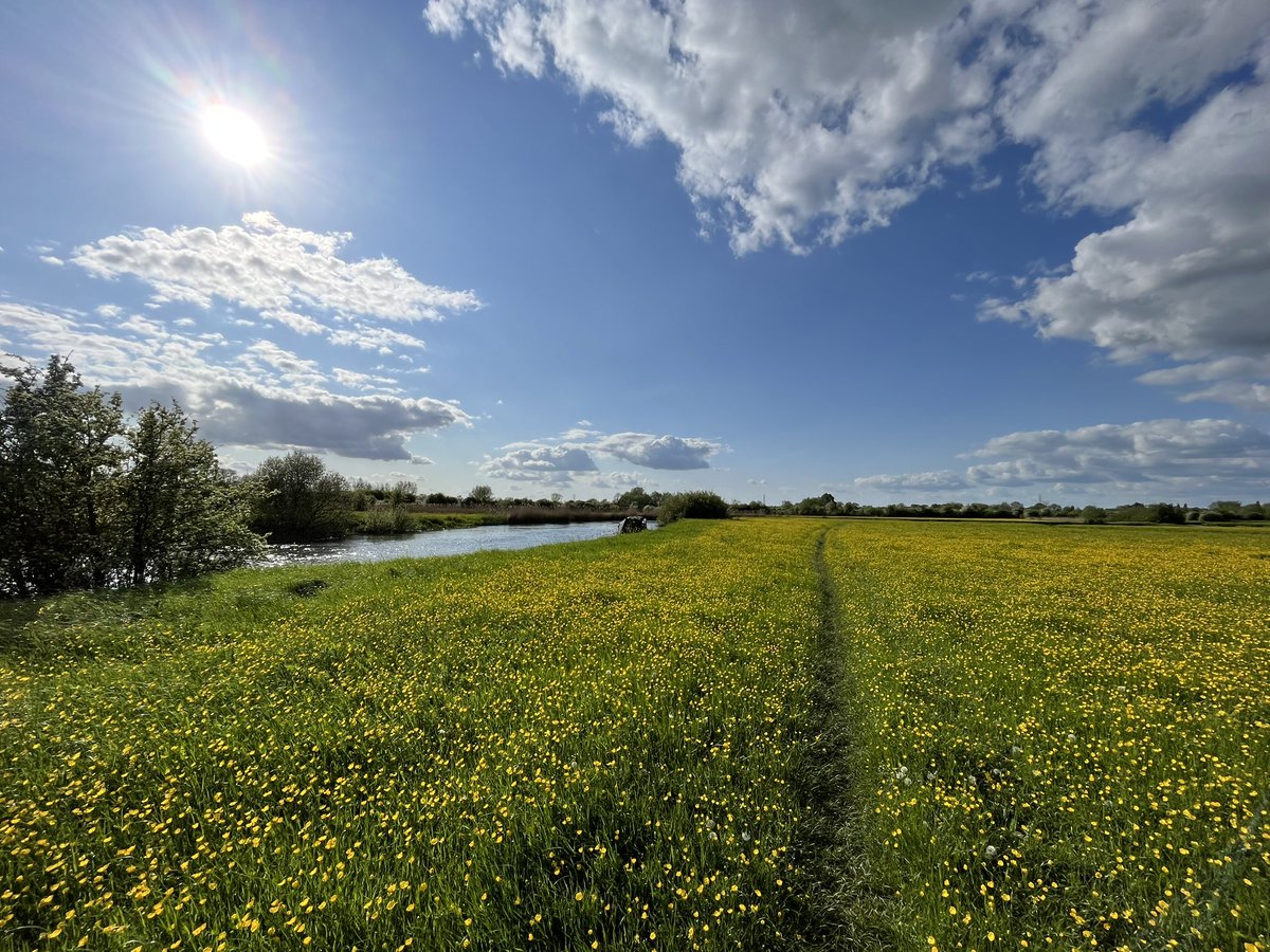
@BeckyOB2 @chapmanbookman @FingerpostFri Looks like the bridge at the eastern end of Shifford Lock Cut. Which also crosses the boundary between West Oxfordshire and Vale of White Horse district councils.
*GIVEAWAY*
To celebrate our partnership with Leica, we are giving away some amazing prizes to one lucky winner.
Includes: Leica Trinovid HD 8x32 binoculars
Leica binocular accessories Curlew Action x Leica tote bag
Curlew Action x HebTroCo socks
Curlew Action pin badge
@jackthurston @PaulWhitewick The Oxfordshire Countryside Access Map is a useful resource (digital version of the Definitive Map), but isn’t very mobile friendly & slow to load. Frustratingly, needs to be viewed in conjunction with their Adopted Highway map, otherwise you miss UCR. https://t.co/u19PL6NibD
@KevindotHickman @ParadiseOxford If public need is there, local authority could do creation order (s26 HA80) to upgrade footpath to bridleway. No requirement to consult landowner. Unknown ownership reduces the risk of a claim for compensation within statutory time limit.
@KevindotHickman In my view, no. TTRO could only be used to restrict a user (e.g. horse from a bridleway). Landowner could grant temporary permissive access, if they weren’t willing to dedicate permanent higher rights.
@eynsham1 @cllrbartington @A40Oxford Pleased to say the requirement to dismount never made it into the final draft of that legislation. Only requirement is for cyclists to ‘give way’ to both pedestrians and equestrians.