As several intense wildfires continue to rage in Oregon, California, and other states, there's a wall of smoke on the U.S. West Coast. https://t.co/pTLIHTPIKj #OregonFires#CaliforniaFires
Maine aims to install 100,00 heatpumps into homes by 2025, accounting for nearly a fifth of the state. “To really get to the full scale and take it even further, federal investment would make a big difference,” said @PingreeHannah.
https://t.co/ucWEpj6hv2
An analysis found that deforestation for palm oil has plummeted from a million acres per year to fewer than 250,000 acres in each of the past three years. It’s a remarkable decline, like wiping away the pollution from more than 80 coal-fired power plants. https://t.co/OyQYCNYZln
Did you know that Ursa Major is the most visible constellation? Check out this #VOTD by @ritz_Tableau to learn about constellations named after Greek and Roman myths: https://t.co/MbHI1pIW1N
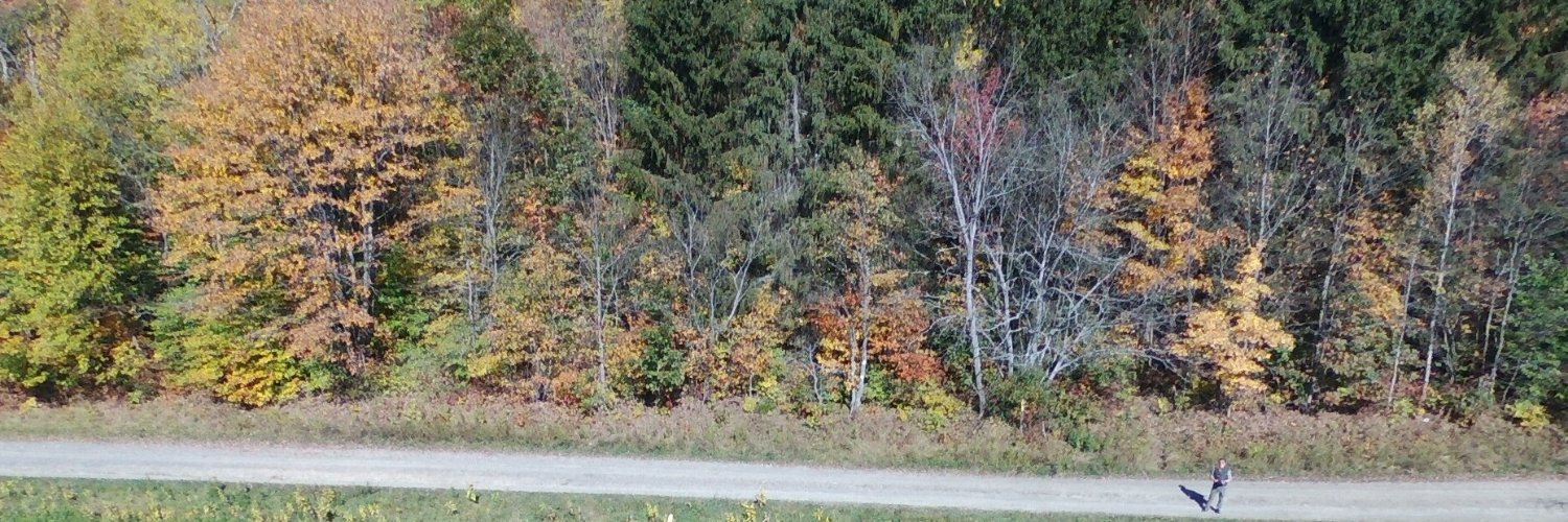
Harmful algal blooms may get worse as temperatures and nutrient-rich runoff increase. Satellite sensing could help detect blooms early and limit health risks.
@AguGeohealth research from @yusukekuwayama et al., @RFFvaluables@rff. Story by @dshultz14
https://t.co/bbSJhJ56Ut
The Lost Treasures of Coco, by Jakob Listabarth, is filled with wonderful, textured details... AND intricate design in the marginalia 👀
Want to see it all and read about what inspired this design?
PRE-ORDER LINK HERE! https://t.co/mP0KcBhSzW
#gischat#cartography#maps
ICYMI - "Continuous land imaging from space is vital to accurately assess the impacts and implications of global land change, now and in the future."
Read it here: https://t.co/U98H98ZH4h
#ICYMI#LandsatPublication
Mapping three decades of annual irrigation across the US High Plains Aquifer using Landsat and Google Earth Engine (Nov. 2019)
#Landsat
https://t.co/wrgaPfgVCM
The California and Colorado blazes are the latest examples of climate-driven wildfires around the world burning not only bigger, hotter and faster, but exploding into once rare landscapes and seasons in which they were previously rare.
https://t.co/pYYhl0ItuF
Join @napsgfoundation@nsgic and @URISA on Tues Aug 25 for the 2nd part of the series "Open Community Forum: COVID-19 Technology & GIS Hot Wash" - to listen, learn, and share your data science, GIS, and technology-related challenges and success stories. https://t.co/7YFaVJ37Zq
This year will rank among the hottest in recorded history and could possibly break the all-time record set in 2016. If 2020 does top the list, it will do so without the major El Niño event that boosted global temperatures four years ago. @sciam reports: https://t.co/BafeRAOAEu
I have a piece in the New Yorker about the vulnerability of GPS and the global rise of attacks on the system. It was posted last week on the 75th anniversary of the bombing of Hiroshima. The timing was coincidental, but it’s an interesting coincidence. (1) https://t.co/wbztNhZWNJ