NAPSG is presenting SARCOP® wildfire scenarios that demonstrate how geospatial technology supports situational awareness and coordination during wildfire incidents. Stop by our booth to learn more and connect with our team.🔥📷 #INTERSCHUTZ2026#WildfireResponse#SARCOP® #GIS
NAPSG is bringing SARCOP wildfire scenarios to INTERSCHUTZ 2026. See how a common operating picture can support situational awareness, coordination, and decision-making during complex wildfire incidents.
#INTERSCHUTZ2026#WildfireResponse#SARCOP#EmergencyManagement#GIS
Day 2 of #InSPIRE2026 is about to start!🚀
It’s the final day of the 11th Annual Innovation Summit for Preparedness & Resilience! Day 1 brought incredible conversations and insights, and Day 2 is just getting started.
Learn more: https://t.co/4VGIaefw1a
🚨 InSPIRE 2026 Has Officially Begun! 🚨
And guess what? You’re still on time to be part of it! 👏
Join us and experience the innovation firsthand.
More info: https://t.co/4VGIaefw1a
1 Day Until #InSPIRE2026
Tomorrow, the 11th Annual Innovation Summit for Preparedness & Resilience begins! Be ready for 2 days of innovation, collaboration, & the latest advancements in GIS, AI-powered search, drones & public safety technology.
More info: https://t.co/4VGIaefw1a
2 DAYS LEFT UNTIL #InSPIRE2026
From cutting-edge geospatial technology to powerful real-world public safety solutions, get ready for inspiring sessions, live demos, networking, and the GIS Solutions Pageant!
More info : https://t.co/4VGIaefw1a
3 DAYS UNTIL #InSPIRE2026
Get ready to explore the future of GIS & public safety innovation! Join leaders and innovators as we dive into GeoAI, drones, real-time analytics, integrated video, 3D/VR visualization, semantic search, & more
More info here: https://t.co/4VGIaefw1a
Join the GIS Solutions Pageant at #InSPIRE2026
Have a map, dashboard, app, or geospatial solution that made an impact in public safety?
Present a live demo, PowerPoint, or another creative presentation style!
Apply now: https://t.co/wGqa3jgrsN
Learn how AI interprets natural-language questions, uncovers connections traditional keyword searches miss, and helps make data smarter, faster, and more intuitive to navigate.
More here: https://t.co/4VGIaeeYbC
#InSPIRE2026#GIS#PublicSafety
Registration closes TODAY! 🚨
Join industry leaders & public safety professionals as we explore the latest innovations in GIS, GeoAI, drones, real-time analytics, 3D/VR visualization, & more!
Secure your spot before registration closes: https://t.co/4VGIaeeYbC
REGISTER NOW! https://t.co/4VGIaeeYbC
Don't miss out on the nation’s leading summit dedicated to advancing the use of geospatial technology for preparedness & resilience.
Join us at the 11th Annual Innovation Summit for Preparedness & Resilience
May 19–20 | Sandy, Utah.
REGISTRATION CLOSES ON MONDAY!
Explore the latest advancements in GIS & discover how technologies like GeoAI, drones, real-time analytics, integrated video, & 3D/VR visualization are transforming command centers & public safety agencies.
Register Now: https://t.co/4VGIaeeYbC
The countdown is on!
Join leaders, innovators, and public safety professionals at the 11th Annual Innovation Summit for Preparedness & Resilience, as we explore the future of preparedness, resilience, and emerging geospatial technologies.
Register now: https://t.co/4VGIaeeYbC
This hands on session will simulate the hours after a disaster when drone imagery is requested and delivered. Attendees will walk through the process of developing a flight plan and consuming drone imagery into their local GIS systems.
Register Now: https://t.co/4VGIaeeYbC
You don’t want to miss out!🚨
We’re less than a month away from the nation’s leading summit dedicated to advancing the use of geospatial technology for preparedness & resilience.
Join us at InSPIRE 2026 | May 19–20 in Sandy, Utah.
Register now👉: https://t.co/4VGIaeeYbC
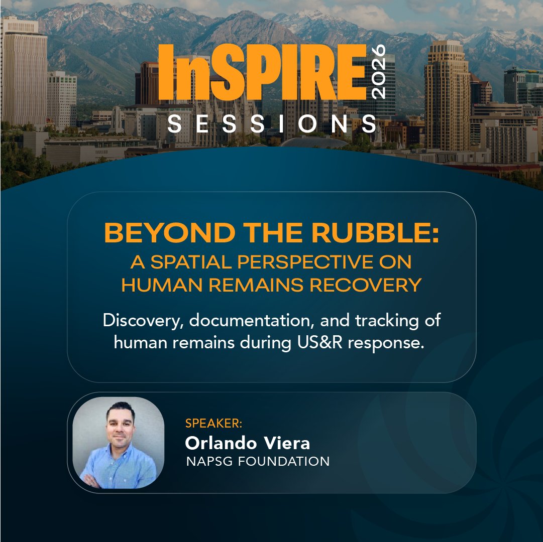
Disasters demand precision and compassion. Join our session to learn how multi-agency teams use geospatial best practices to track, document, and respond to mass fatality events!
Register Now: https://t.co/4VGIaefw1a