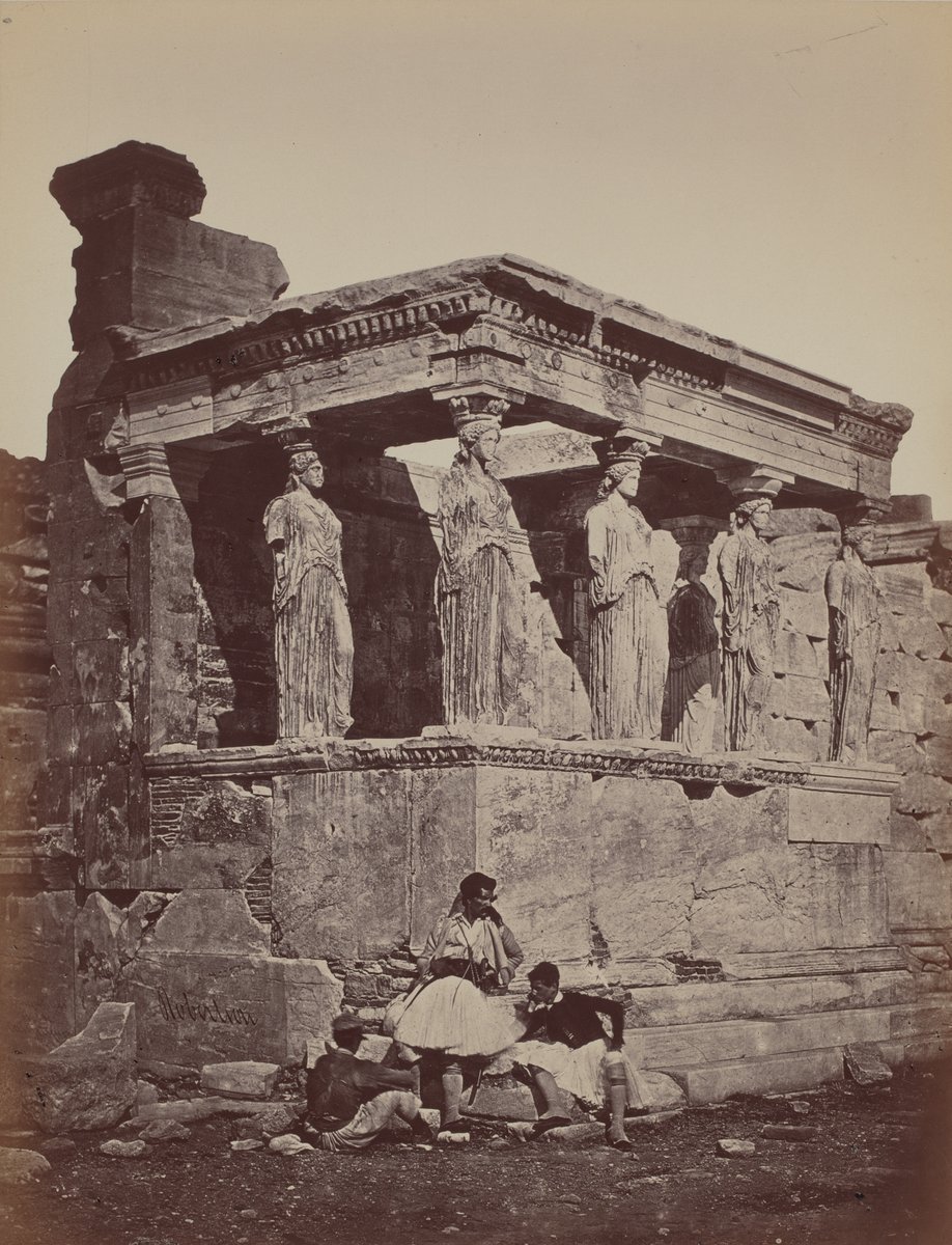
Caryatids at the Erechtheion, Acropolis, Athens. Photographer: James Robertson. Date: 1857. Medium: albumen print; image 31.2 × 24.2 cm. Collection: National Gallery of Art, Washington.
Political map of Europe circa 1360 from Reginald Lane Poole’s Historical Atlas, outlining the Holy Roman Empire in red and naming states relevant to the Hundred Years’ War era.