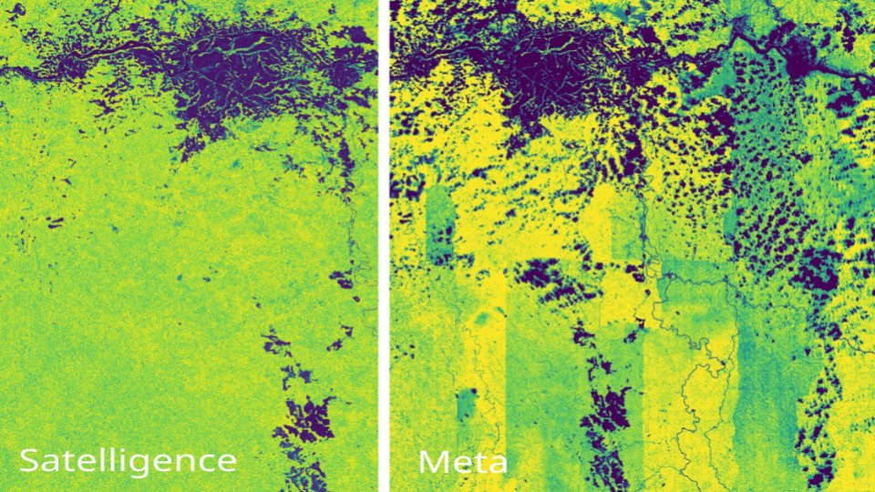
We had a look at the newest ~snake oil~ (pardon my French, can't help the vitriol) map of a supposedly global, thrilling, AI driven nanometer tree height map by
@Meta and @WorldResources.
This is what we found, a short thread:
#mostcited
📡The Ground to Space CALibration Experiment (G-SCALE): Simultaneous Validation of #UAV, #Airborne, and #Satellite Imagers for Earth Observation Using #SpecularTargets
by Brandon J. Russell, Raymond J. Soffer et al
https://t.co/Fbi5ft1PLG
#intercalibration
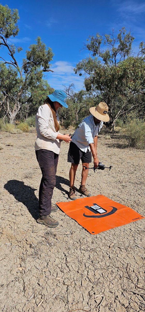
@UTAS_@TERN_Aus team at Calperum Station in South Australia training and testing drone protocols for ecosystem mapping and monitoring as part of the @TERN_Aus DroneScape and the @DCCEEW NatureScan projects.
#OTD we celebrate World Wetlands Day by showcasing a #Landsat 8 mosaic of the Okavango Delta in Botswana. One of the world’s great inland waterways, the Okavango is an UNESCO World Heritage Site and one of the Seven Natural Wonders of Africa.
Image: https://t.co/SpCcgZ9ENc.
I am honored to feature on the guardian squatting for one of those precious ice cores <3. Great article from the research I had the luck to be able to contribute.
‘Spoon worms lick the seabed with a metre-long tongue’: a voyage into a vanishing Arctic https://t.co/LG1rxSedra
New paper:
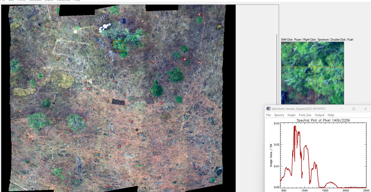
Mapping water content in drying Antarctic moss communities using UAS-borne SWIR imaging spectroscopy
Turner et al.
Read the full paper here:
https://t.co/MF27qFmmIh
For 20 years, @TerraLuma and his geography and spatial science students have been tending to a landslide in the Huon Valley. Every year, students put their technical knowledge to the test, mapping the area. Find out what they get up to below👇 Read more: https://t.co/dH0cFT1vCX
Scientists traditionally monitor methane emissions using ground-based flux towers and surface chambers. While these methods provide valuable data, they are resource-intensive & done in limited areas. UAS may enable scientists to extend their monitoring of wetlands across Alaska.
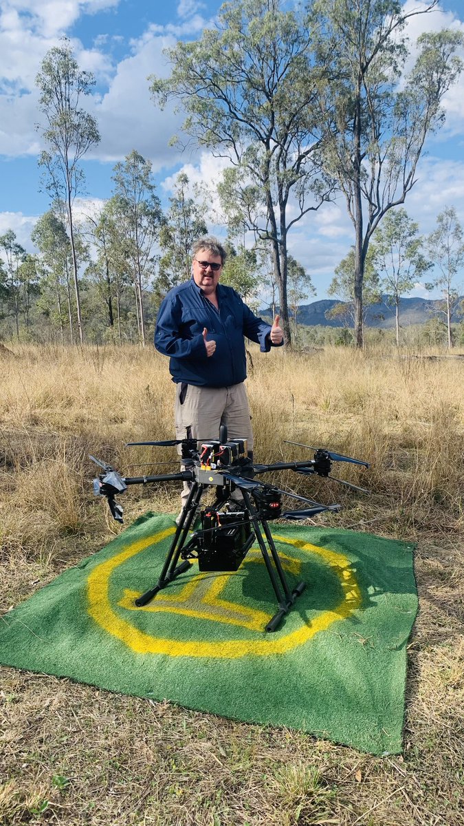
@TerraLuma Just out of Brisbane at a place called Esk, it's a place we revisit often, nice mix of woodland and grassland. We are prepared for our next big lap around the state, stay tuned for more pics. How you guys doing??
That fire West of Alice has burnt 25,000ha+ over the past few days. just updated the NAFI mapping to show the area burnt so far. Below burnt area in yellow + animation of the hotspots showing the spread since 8th. It appears to have jumped Stuart Highway? https://t.co/iuUqtqtnjP