Butler Co. Emergency Management Agency. Supplemental tool for emergency preparedness. Do not rely on this as a primary means of emergency/weather alerts.
There will be a chance for showers and thunderstorms later this afternoon and evening. Central and west central Ohio have the greatest potential to be affected by storms. Conditions will be favorable for some storms to be strong to severe with damaging wind the main threat.
9/1/2026 - Please see below weather brief and cooling center information Butler County.
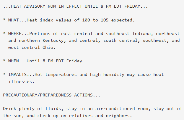
Butler County is under a Heat Advisory from 2:00 pm today 9/1 through 8:00 pm Thursday 9/3.
September is National Preparedness Month Butler County!
Emergencies can happen anytime. Take a few minutes this month to know your risks, make a plan, build a kit, and stay informed. #NationalPreparednessMonth
When outdoors in the heat, wear lightweight, loose-fitting, and light-colored clothing to reflect heat and sunlight. If you will be spending time outdoors, hats are also a good idea to protect your face and scalp from harmful UV rays. Also, don’t forget to apply sunscreen.
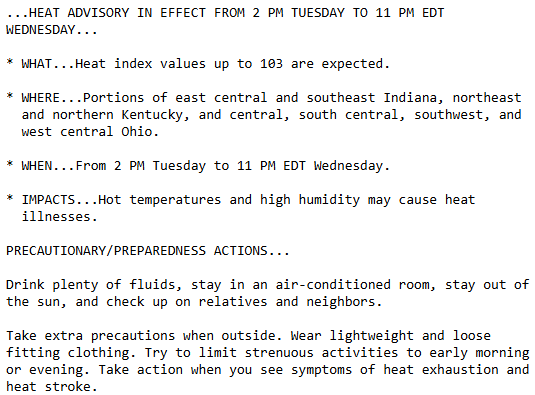
8/31/2026 @ 2:10 pm - @NWSILN has issued a Heat Advisory for Butler County from 2:00 pm Tuesday Sept. 1st through 11:00 pm Wednesday Sept. 2nd. Remember to drink plenty of fluids, stay in an A/C room or building, watch for signs and symptoms of a heat related illness.
Chances for showers and storms return this evening ahead of a cold front. While storms are expected to gradually weaken as they move southeast, isolated strong to severe storms will be possible, mainly for our northwest counties. Stay weather aware!
Chances for showers and storms return Wednesday evening ahead of a cold front. While storms are expected to gradually weaken as they move southeast, isolated strong to severe storms will be possible, mainly for our northwest counties. Stay weather aware!
8/15/2026 - Please see below weather briefing Butler County. A Flood Watch for Butler County will be in effect from 12:00 pm today 8/15 through 8:00 am tomorrow 8/16.
More thunderstorms and heavy rain is expected tonight. With saturated soils, flooding will occur quicker than normal and trees will be downed easier with any gusty winds.
Want to see our weather briefing and details regarding tonight's storms?? https://t.co/zVIDW2bdEz
8/13/2026 - Please see below weather briefing Butler County. Remember to stay weather aware and if you encounter a flooded roadway remember "Turn Around, Don't Drown"
Additional storms will move into the region later in the day. The risk for heavy rain, including storms repeatedly moving over the same locations, will increase tonight and continue into Friday. This may result in renewed flash flooding and cause additional river flooding.
High water issues will remain overnight tonight into Thursday, especially for southeast IN where extreme flooding occurred. A brief reprieve in the heavy rain is expected tonight, but additional rounds of storms will be possible late afternoon Thursday into the overnight hours.
Widespread storms are likely this afternoon, with isolated damaging winds being the primary threat. Ongoing widespread flooding in east-central and southeast Indiana will continue through the afternoon as well.
Severe Thunderstorm Warning including Cincinnati OH, Hamilton OH and Cincinnati-Northern Ky Airport KY until 4:15 PM EDT. This storm will contain wind gusts to 70 MPH!