Summer Research Experience for Undergraduates on the impact of wildfires and heatwaves on glaciers in Alaska at Carnegie Mellon University. Position is fully funded and dates are flexible. Please spread the word! @PolarImpact@WomeninPolarSci@CryoCommunity@PridePolar
Great to organize this critical dialogue on Youth Day at #COP28 between youth delegates and @NASA’s Chief Scientist Kate Calvin & Dr @bhamlington, @VulnerableChil ‘s Brian Okabaki and @UNICEF’s Fabio Friscia on the importance of climate education & literacy based on science!
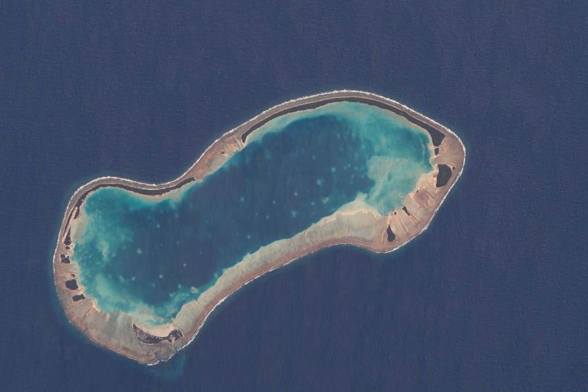
The island nation of Tuvalu, located in the South Pacific Ocean, is threatened with sea level rise.
This graphic shows higher than normal sea level (in red) around two of Tuvalu’s islands from the SWOT satellite on March 21, 2023. 🌊 https://t.co/dgOxXGzsM0
It's here! 🤩
SWOT has sent back the first taste of the detailed data it will provide about Earth's surface water. The joint @NASA -@CNES mission launched into orbit last December. More on this early data: https://t.co/CZS8Bgseou
Check out this awesome tool that Phil Thompson (@uhmanoa) built on https://t.co/GkVHnwIBCl. Connects future sea-level scenarios with other, natural sea-level variability to produce estimates of future high-tide flooding.
In the mid-2030s, every U.S. coast will experience increasing high-tide floods due to rising seas and a gravitational pull caused by the alignment of the Moon, Earth, and Sun - also called a "moon wobble."
See how this may impact you: https://t.co/qtk5LWtU7W
@NASAEarth missions are allowing us direct insights into global changes around the 🌎.
Consider sea level rise: Half of the sealevel rise is from melted ice, the other half from volume expansion due to larger water temperature. When it comes to the melted ice, half of it comes from polar regions, the other half from glaciers. None of this is theory, none of it conjecture. Just very tough and accurate measurements @NASA style, often with international partners as well.
Read more at: https://t.co/ZTOoJWEAE2
High-tide floods are already a familiar problem in many coastal cities in the U.S. If only we had a crystal ball to better predict what's coming... Now we do. 🔮
Track what the future has in store for U.S. coastlines: https://t.co/qtk5LWtU7W
It's now live and awesome, NASA
Sea Level Team's Flooding Analysis Tool. All y'all working on coastal resilience or addressing high-tide (nuisance flooding) check it out. @bhamlington
https://t.co/A2I4OryIgI?
Definitely check it out and let us know what you think, and congrats to Phil, @chrispiecuch, and their team on some great work! If you are interested in hearing more and are attending @AAASmeetings, Phil will be presenting Fri, March 3rd at 1pm ET: https://t.co/GDpEmXZZkV
New from the @NASA Sea Level Change Team (N-SLCT)! Phil Thompson (U. of Hawaii) has built a flooding analysis tool along with his N-SLCT team led by @chrispiecuch and with @DangendorfSonke, @TWahl1981 and others. 1/5 https://t.co/pvmuliC5pC
The development process of this tool was really cool, as we were able to get feedback and implement suggestions from the N-SLCT Practitioner Board (https://t.co/g4lR0GHuBQ), engaging in some co-development to make the tool as useful as possible to those that need it most. 4/5
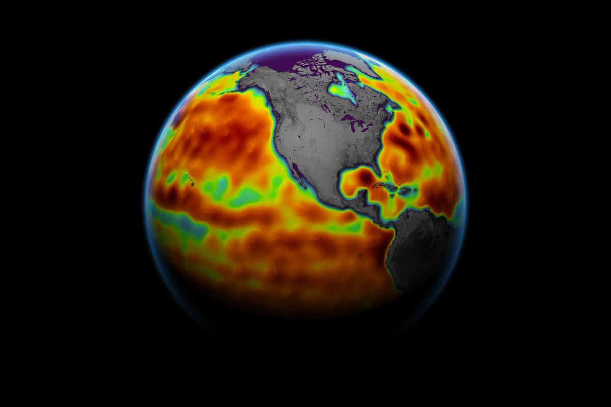
"Another Year of Record Heat for the Oceans" | Our (
@Lijing_Cheng et al) new study in @AASjournal; this year we also show the consistent La Niña-like patterns of warming across recent decades.
https://t.co/6Nf0qjCmrL
Why is sea level rising?
Global sea levels are rising as a result of human-caused global warming, with recent rates being unprecedented over the past 2,500-plus years. @NASAJPL’s Ben Hamlington explains how our warming planet is causing sea level rise. https://t.co/0mqsEXrGW2
@chrispiecuch This is the baseball/NSF OCE budget crossover content we need more of. NSF likely hoping for more of an Aaron Judge-like deal with its budget next year.