⛳️ HEADCOVER SET GIVEAWAY ⛳️
Enter to win a set of FOUR Barstool Golf x CMC Design head covers of your choice. All you have to do is:
-Like this post
-Retweet
-Follow @StoolGolfTime & @ForePlayPod
FIVE winners will be chosen on Thursday, May 1st. Good luck!
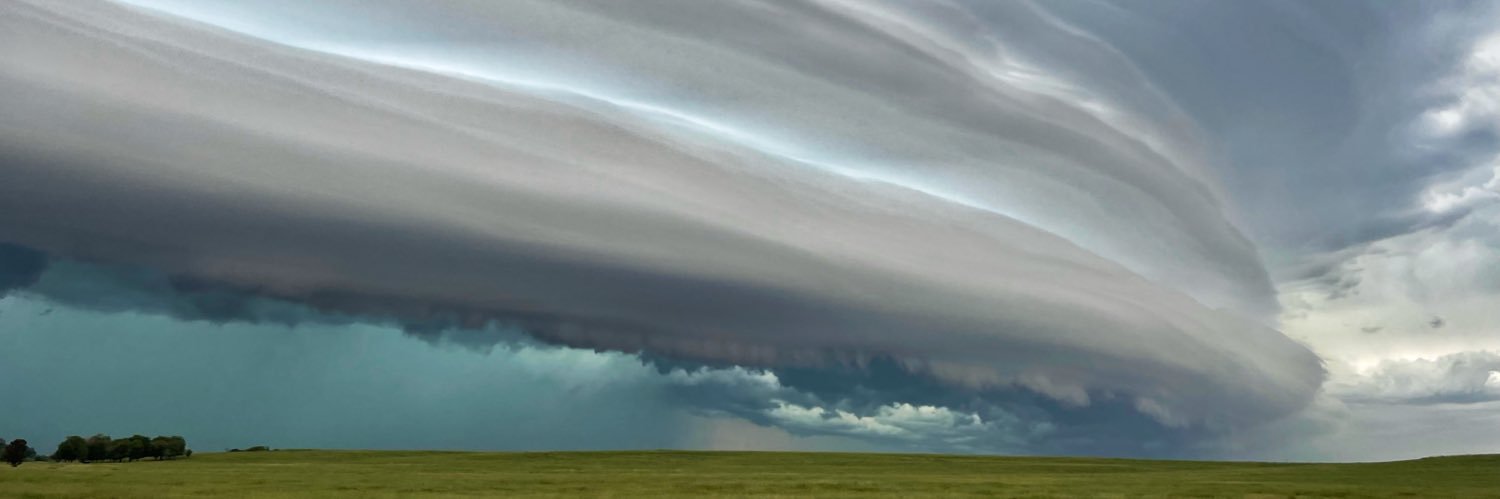
A Significant Severe Weather Event is possible tomorrow across parts of the Central Plains tomorrow, October 30.
While some uncertainties remain with thermodynamics, storm mode and timing, the setup does appear to becoming together for at least an active day/evening of severe weather, including the potential for widespread damaging winds, large hail & tornadoes, some of which may be strong (EF2+).
Storms may initially fire in a discrete or semi-discrete storm mode (more discrete/cellular mode further south into OK, more linear mode further north into NE/IA), which will be the greatest threat for significant severe weather, mainly in the form of tornadoes.
Storms may eventually congeal into a QLCS along the crashing cold front, which will then transition toward a damaging wind threat, with embedded tornadoes and localized large hail.
There is a more conditional, but still present risk of storms in South Central & Eastern OK, perhaps into Western AR during the early-mid evening hours, mainly starting as WAA (Warm Air Advection) showers, but if those showers can mature, an all-hazards threat may take place as the environment east of a strong confluence band is quite robust.
The severe threat should eventually wane around midnight as instability wanes as storms move East out of the warm sector.
#okwx #kswx #mowx #arwx #weather #severewx #wxtwitter