Big things are happening at Atlantic thanks to our 2020 technology upgrades from Teledyne Optech. This 4-part video series takes a deep dive into the #G2 sensor setup from Optech, including data examples, and a must-see accuracy validation of top & toe o…https://t.co/XV1VdGn9ig
Here at Atlantic, our passion thrives and innovation leads the way. In celebration of our dedicated workforce, we presented each employee with an insulated tumbler, @stickermule stickers, and a beautifully crafted notebook by The Scribes because they rock! #employeeappreciation
@AtlanticGrp has another blog entry focused on maximizing the ROI and usefulness of #3DEP#lidar data by extracting building rooflines. Click below or visit https://t.co/D2uezaLjcc to learn more.
I love that @AtlanticGrp was the first in the world to invest in this game-changing platform. We can compete with the power & output of emerging sensors but using proven technology that is easy to process. #lidar#3dep
Designed specifically for the USGS 3DEP #lidar program collections, the #TeledyneOptech's #G2sensorsystem enables efficiency & resolution while maintaining independent range measurement & superior data fidelity. Learn more: https://t.co/ryYNv5UXAV https://t.co/83QdsmLceG
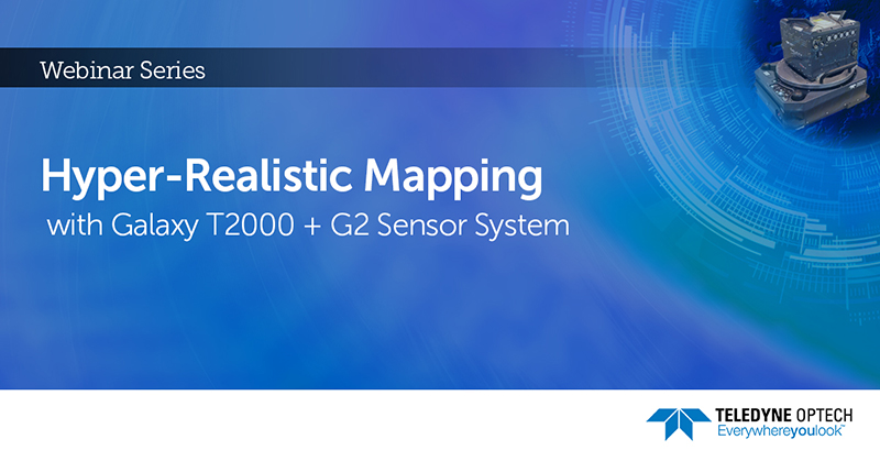
One day left! Learn how you can use the #Galaxy suite to grow your business! Sign up for #TeledyneOptech's new #webinar - Hyper-Realistic Mapping with Galaxy T2000 + G2 Sensor System on May 13, 2020 at 9:00 PM EST: https://t.co/8mu5VA0oTh #airborne#mapping
Research and development isn’t something we throw around as a catchphrase. We have a dedicated R&D team that tackles challenges daily to make us better. Check out our latest video introducing our R&D manager, Matt Taylor, and some of the projects he is focused on currently.
View this new @AtlanticGrp video to find out how limiting aerial photography capture time to 10-2 is increasing the project cost instead of limiting the capture time to 30-degrees. #geospatial#photogrammetry
One thing we would like our clients to understand is that the more specific time requirements, the higher the cost; likewise, flexibility almost always saves you money. There are several factors that help us understand your needs and offer you the most competitive price. #GIS
#Terrain and #topography are obviously something we cannot change to reduce cost, but we do hope to explain why there is more cost associated with more relief in our current video featuring @natlitter. Learn more at https://t.co/6gv8BVX6KG
Projects vary in cost from location to location as @natlitter explains in our latest video on https://t.co/7XldlZIzdr. Everything from schedule flexibility and restrictions, project shape and size, as well as topography and terrain of an AOI all offer varying challenges. #GIS
@AtlanticGrp is not a typical small business - we have survived the "resource poverty" phase that plagues most small business. Hear from one of our SME's about our recent investments in @TeledyneOptech's latest Lidar technology. #lidar#geospatial https://t.co/FZDfomh5w7
We place heavy emphasis on investing in technologies that offer the best solutions. Our recent purchase of 3 Galaxy Primes from @teledyneoptech, along with the T2000 & G2 solution upgrades are quickly proving to be the best solution at the best price. https://t.co/7XldlZIzdr
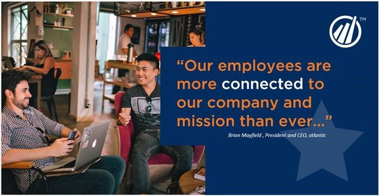
@AtlanticGrp has been on a mission to improve our employee engagement and culture. An engaged workforce is essential to any great work environment, and I am proud of our teams’ implementation of this solution from @StandOutTMBC below. #lidar#gis#culture#management
Long surveys with delayed data won’t do much for engagement. Atlantic knew this and wanted to find a solution that measured engagement in real-time so they could keep employees happy and uncover any hidden challenges. Find out their solution and results: https://t.co/MjKtfSPVPZ