From seismic survey data acquired in Long Beach CA.
This map shows potential catastrophic damage to a freeway bridge structure from a >6.0M Earthquake. The center of the orange-red circle is the location of a seismic sensor placed during a dense survey.
From seismic survey data acquired in Long Beach CA.
This map shows potential catastrophic damage to a freeway bridge structure from a >6.0M Earthquake. The center of the orange-red circle is the location of a seismic sensor placed during a dense survey.
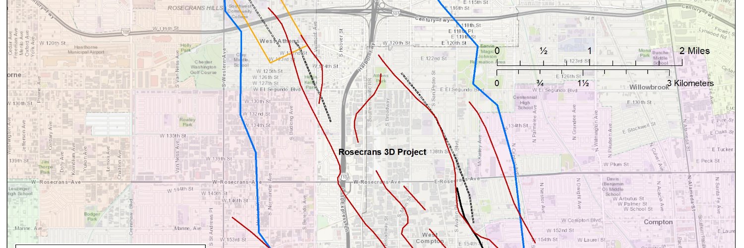
This is a map from our 2018 seismic survey showing newly discovered faults. The black ones are where USGS has their understood positions and the red ones are where the new discoveries are.
This is a map of potential damage from a 6.0 M earthquake in the LA Basin. This is from data acquired in 2011 and compiled by Caltech. We are working on LA Basin wide and California wide Seismic Hazard Surveys.