We're BoulderCAST, a team of Front Range meteorologists. Providing timely, accurate weather intelligence to the local community and our clients since 2014.
Similar to yesterday, the SPC has added Boulder and Denver to a Marginal Risk of severe storms on Wednesday. Scattered storms from 2-6PM will contain moderate to heavy rain, small hail and gusty winds. 1 or 2 cells may have 1" hail and 60 MPH wind gusts #COWX
Colorado statewide snowpack sits at just 13% of normal today, the 3rd worst on record behind 2002 and 2012. Snowpack melt off is running about two weeks ahead of schedule #COWx#Colorado#Snowpack#Drought
⚠️ New SPC update now includes Boulder and Denver at Marginal Risk for severe storms Tuesday. The primary concern is hail up to 1.5" in diameter from Noon to 4PM. Risk is lower than yesterday.
⛈️ Keep an eye on the darkening skies! #cowx#hail#denver
Lime-sized hail in the cell in Commerce City heading for DIA 🍋🟩 💥
That said, the severe risk nose dives as this initial wave of storms moves out of the Boulder-Denver area. Just weak storms and showers into the evening
#cowx
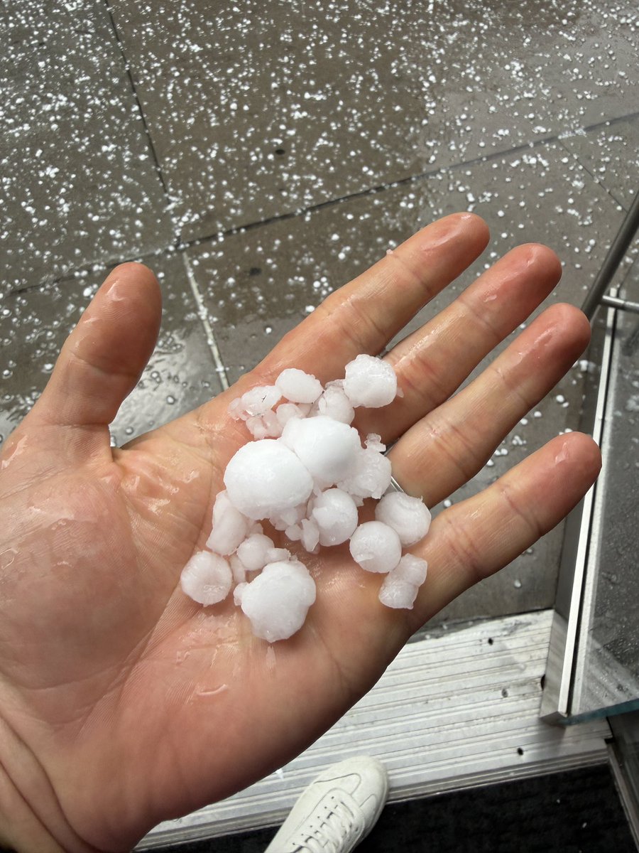
Helluva hail storm downtown - up to about 1.25” but hard to tell because most of the larger hailstones were smashing on impact. @NWSBoulder@BianchiWeather@BoulderCAST
Severe Thunderstorm Warning including Aurora CO, Denver Intl Airport CO and Commerce City CO until 2:30 PM MDT. This storm will contain two inch sized hail!
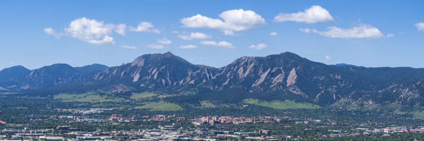
This Week in Colorado Weather: Afternoon Storm Roulette Returns, Including Some Severe, But Weekend Heat is Brewing ⛈️🥵
We break down what to expect as the Front Range rides out this transitional stretch of early June: https://t.co/Mmt3px9w0k #COwx#Hail#Colorado#Denver
✅ Weekly outlook forecast verification for May 25-29, 2026. Forecast issued 7AM May 25th. Boulder official climate site (when possible) used for verification. #COWX#Boulder#BoulderCASTVerification