Read my latest #research on Estimating groundwater volume loss using GRACE(FO) and InSAR observations for the subsiding area of Bandung Basin, Indonesia, published with
@SpringerNature
in Natural Hazards
This study explores satellite-based observations, specifically Gravity Recovery and Climate Experiment and its Follow-On missions, or GRACE(FO), and Interferometric Synthetic Aperture Radar (InSAR) observations to estimate volumetric groundwater loss in Bandung, Indonesia
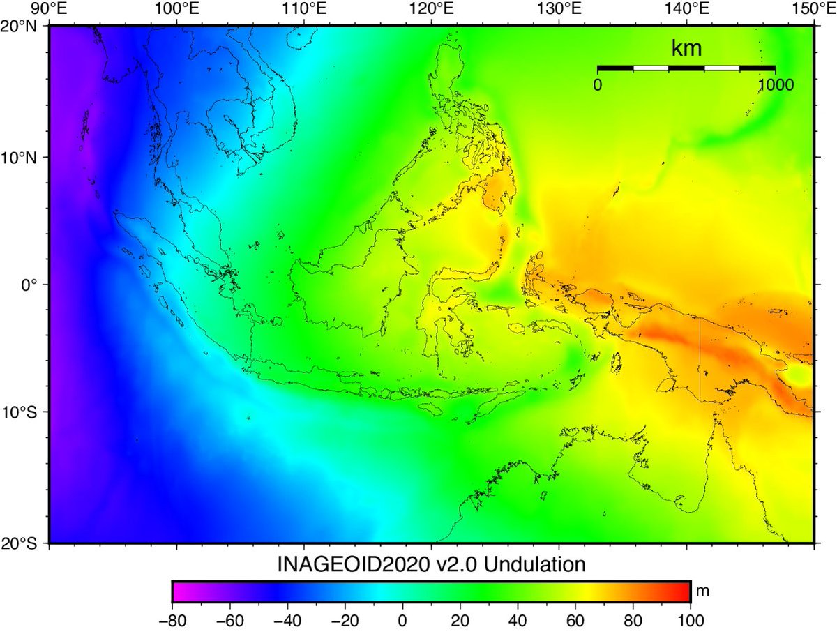
We just recently published an article describing the development of an official geoid model for Indonesia, including the description of the used data, computational procedures, and validation steps using GNSS/leveling observations.
https://t.co/adbfZy0K26
The geoid model can be publicly accessed through its official website: https://t.co/S253CfSRuD.
This work is a collaboration between BIG, BRIN, and ITB.
We found that the gravity field was mainly negative upon removal of deformation gravity signals from InSAR observations. This highlights possible mass loss in Bandung, Indonesia.
Nevertheless, further investigations are crucial, particularly to validate our results
Almost forgot to disseminate our results incorporating geodetic and gravimetric observations to further understand the status of ongoing land subsidence in Bandung, Indonesia
https://t.co/4O9JwW49RC
#geodesy#insar#gnss#gravity
Congrats to Jessy, PhD candidate at Geodetic Science, Engineering, and Innovation @Geodesi_ITB, who just recently showcased her works in 3D modeling of Pawon Cave
https://t.co/9NLlxOMALP
This work highlights the benefit of geospatial data in archaeological applications. The 3D model of Pawon Cave was developed based on terrestrial laser data. In addition, the potential area for excavation was identified based on the corresponding 3D model.
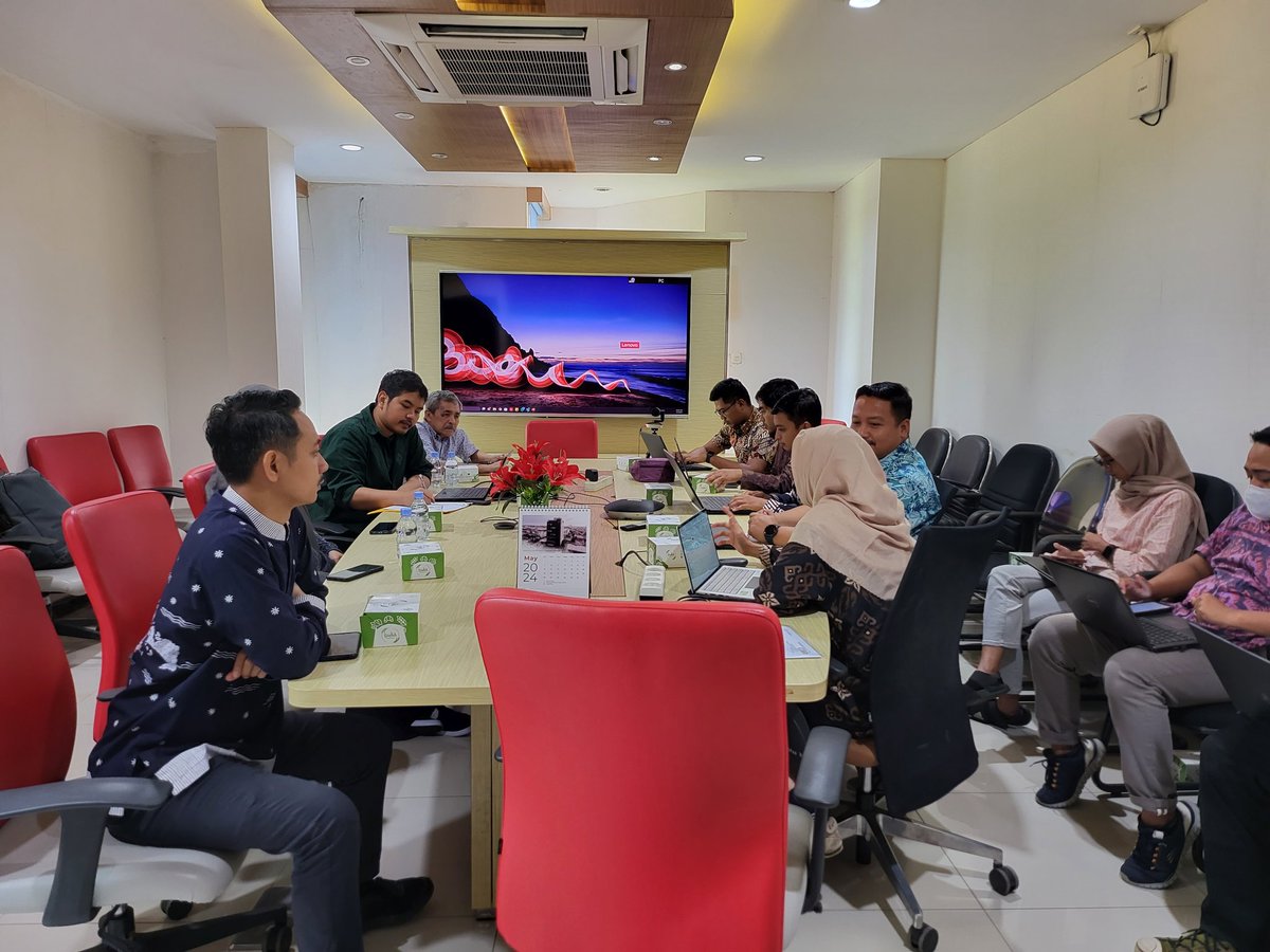
Recently, we had a meeting with Geospatial Agency of Indonesia (BIG), discussing potential collaboration on gravity and precise geoid modeling research!
We have a recent publication dealing with GNSS signal assessment and positioning performance evaluation on Android GNSS smartphones published in the Journal of Applied Geodesy
https://t.co/YjUB4akOWd
We differentiate our research by mainly focusing on non-flagship Android smartphones, while others use flagship Android smartphones implying better internal hardware
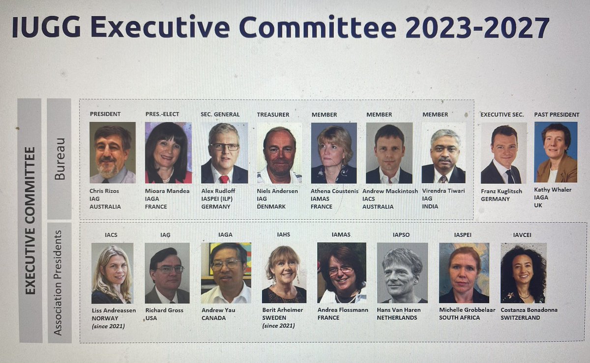
Welcome to Richard Gross as new @iag_geodesy president! We are looking forward to working together in the IAG Executive Committee during the next four years!
Additionally, we also mapped the occurrence of structural damage, i,e., damage in buildings.
We surveyed more than 300 buildings and found that most damaged buildings occur in subsiding areas.
We've just published an article confirming land subsidence in Bandung, Indonesia using geodetic observations.
Find out more now.
https://t.co/T9vQJXcv1q