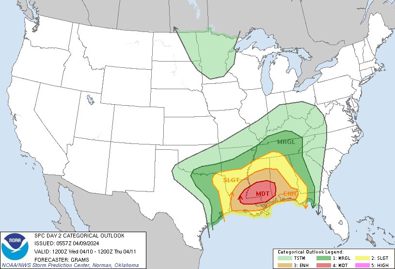
Severe weather is likely Mon (4/15) in the central/southern Plains & Tue (4/16) from NE TX to the Midwest. All severe weather hazards are possible including tornadoes, damaging wind gusts, & large hail. More specific forecast details will become available in the coming days.
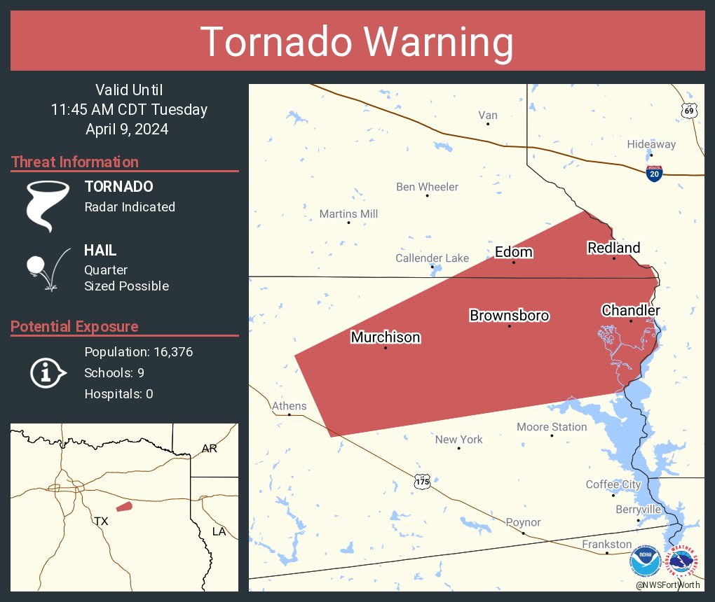
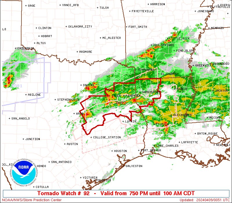
Here are the key messages for severe weather across eastern Texas and the lower Mississippi River Valley today, March 25th. The primary risks will be tornadoes (some strong) and damaging winds. Monitor changes by visiting https://t.co/QMmU4tBZDt or your local NWS office.
Insane video of the tornado that impacted Garden City, KS earlier today. The person recording the video was ok and wasn't injured.
📸: Jerry Penner
#KSwx#Tornado
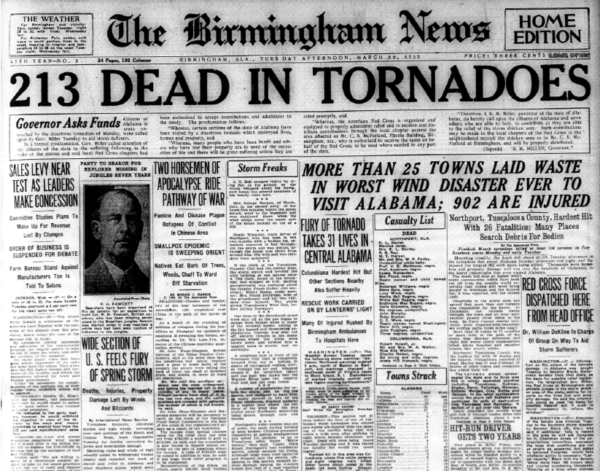
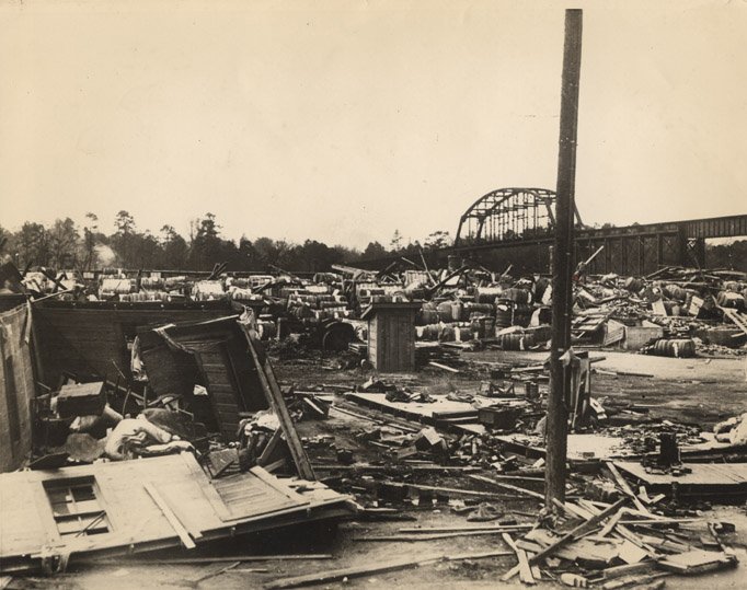
ON THIS DATE IN 1932: The March 21, 1932, generational tornado outbreak unfolded across Alabama. At least 36 tornadoes—including 27 killers and several long-lived tornado families occurred across the Deep South, and Alabama was the hardest hit.
The March 24th headline of The Tuscaloosa News stated that the death toll rose to 300, 32 of whom had died in Northport, and 2,500 were known to be injured. The Red Cross worked tirelessly to rehabilitate approximately “10,000 people left homeless in Alabama, Georgia, and Tennessee. According to The Tuscaloosa News, in Alabama alone, there are more than “8,000 whose domiciles were blown to the four winds.” Quite frankly, to this day, we don’t know the exact number of people who died. Keep in mind there were no tornado warnings in 1932.
Chilton County was hit extremely hard with 58 persons killed. The Union Grove community near Jemison was laid to waste. Doctors and nurses from Montgomery and Birmingham worked all night by lantern and flashlight to relieve the widespead suffering.
In Clay County, one of the tornadoes remained on the ground for 30 miles cutting a path 400 yards wide. A new automobile became airborne and was carried through the air for a distance of 400 yards. 12 persons died in Clay County and 200 were injured. After the tornado, there were people living in the Clay County Courthouse.
WATCHING Sunday-Monday for all-hazards severe weather potential, including tornadoes if the moisture return from the Gulf is sufficient. The shape of the upper trough is quite favorable for significant severe weather. Storm chase mode will be activated
2:33am CDT #SPC Day3 Outlook Slight Risk: from the Middle Mississippi Valley into eastern Oklahoma, East Texas, and the Lower Mississippi Valley https://t.co/K89lXjsUbi
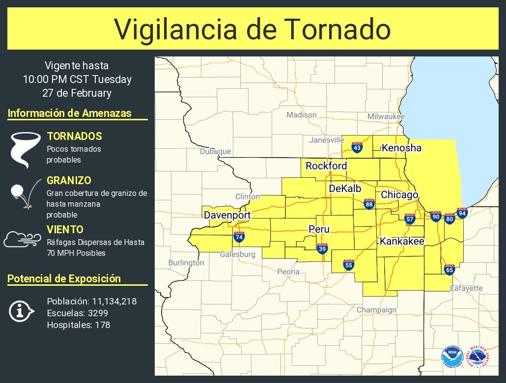
2:02pm CST #SPC Day1 Outlook Enhanced Risk: across northeast IL and far northwest IN this evening and across portions of the Lower and Middle OH Valley this evening through tonight. https://t.co/TgJgC6cQZw